14.12.2025
Hike: Canada del Burro
⬇ Download GPX file
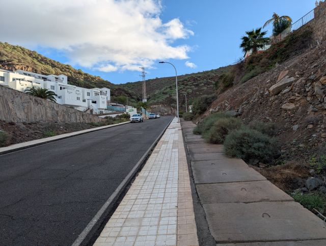
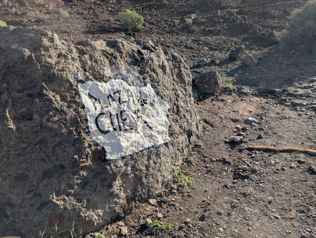
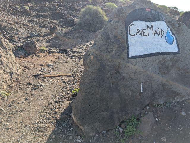
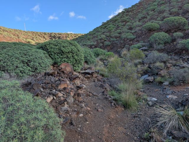
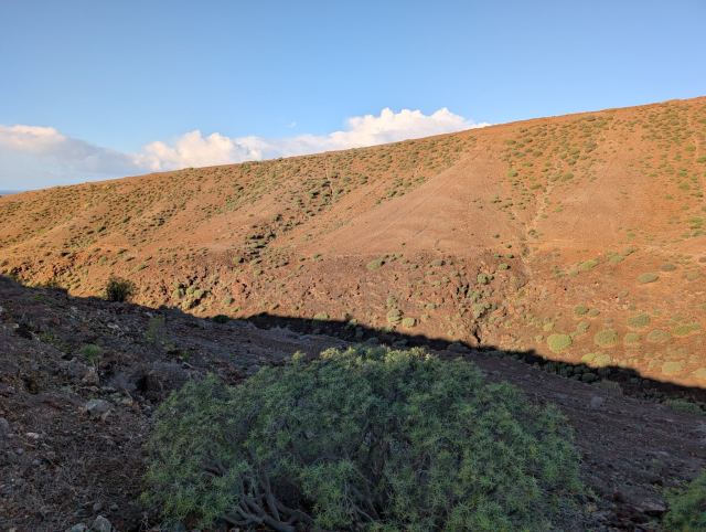
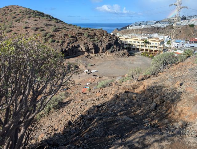
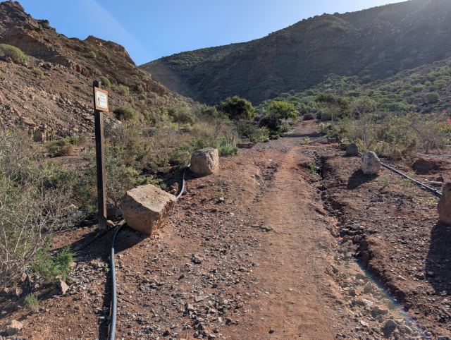
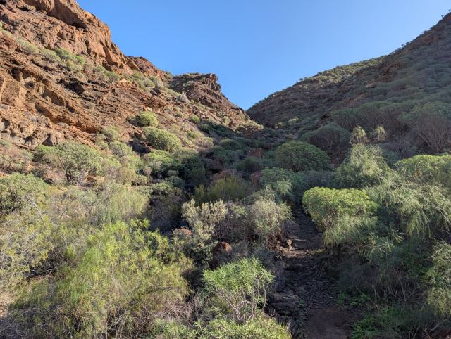
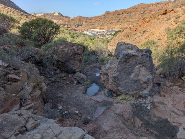
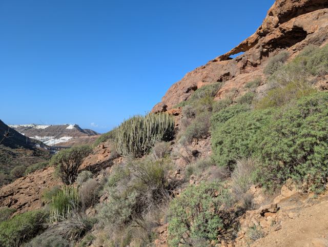
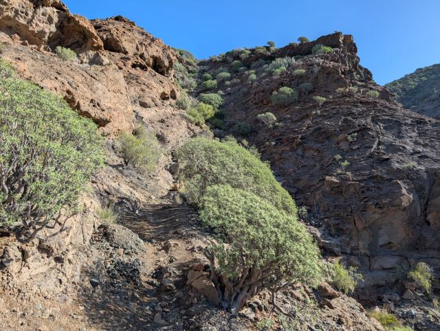
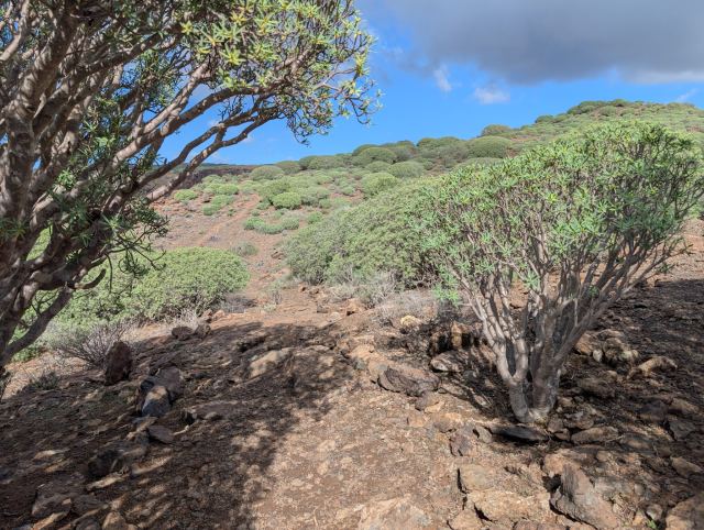
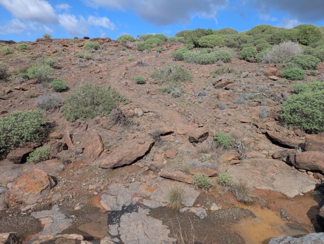
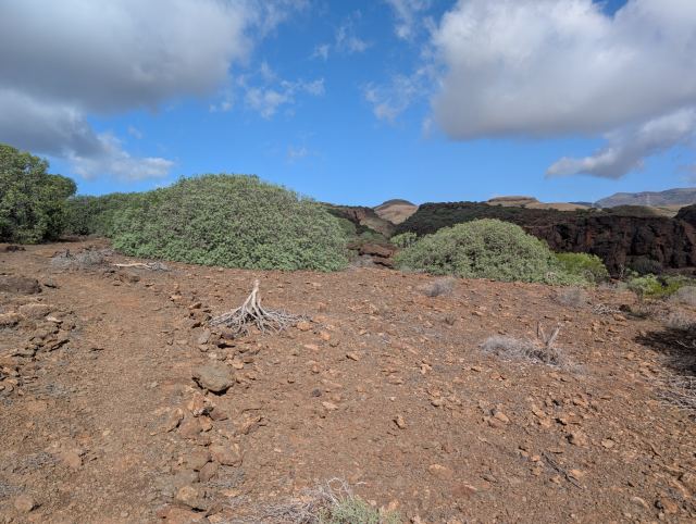
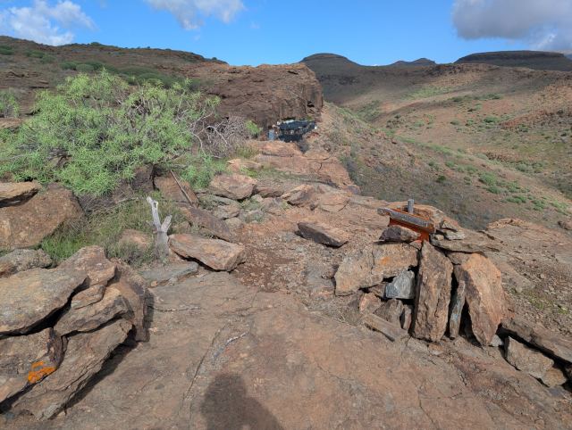
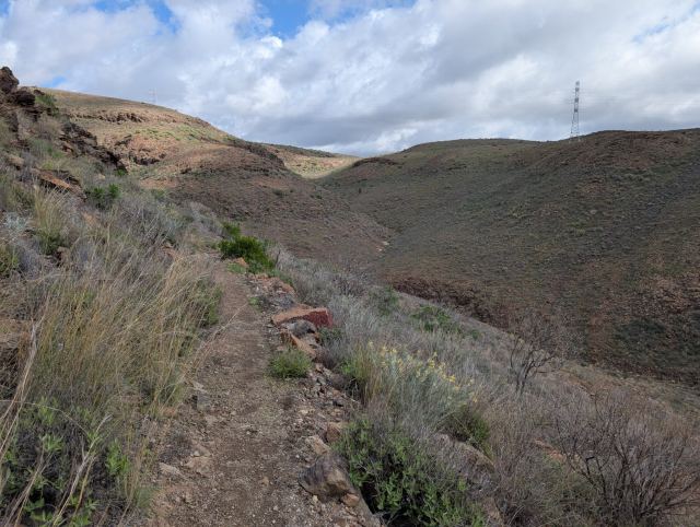
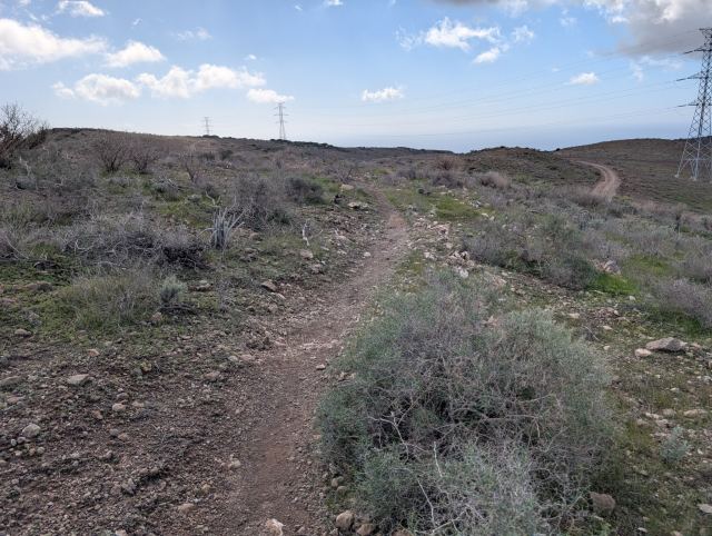
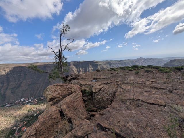
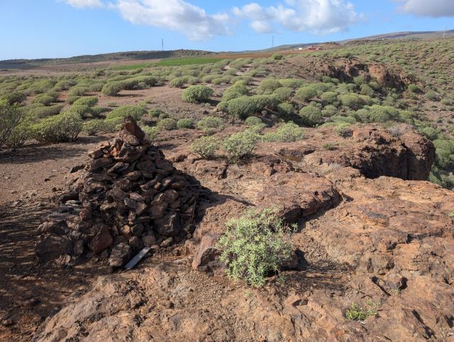
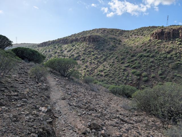
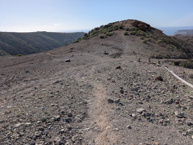
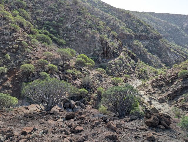
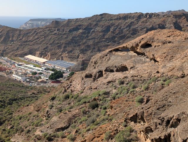
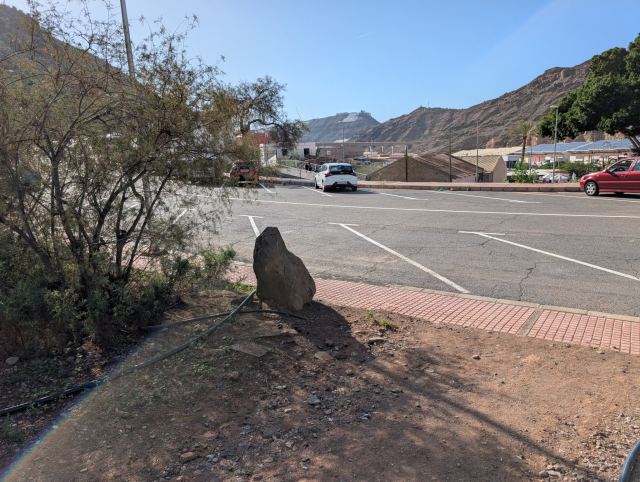
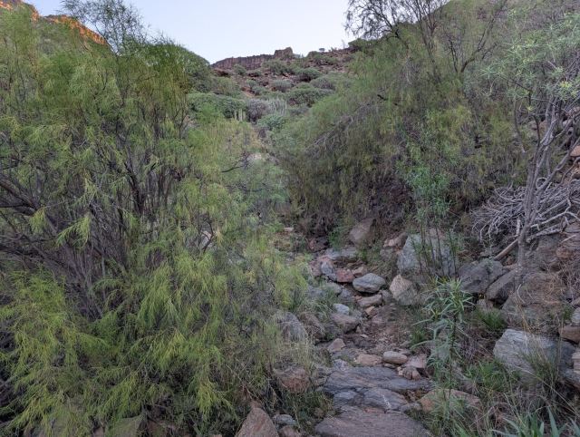
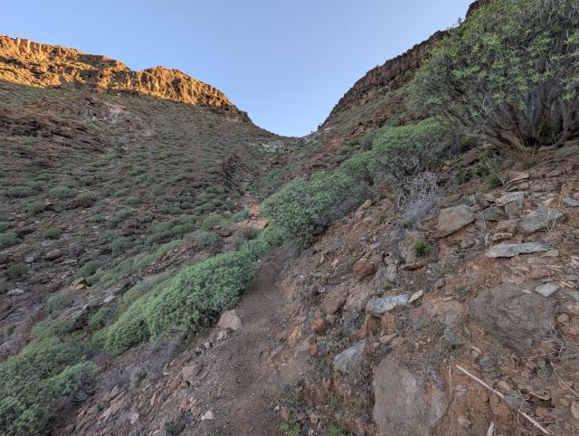
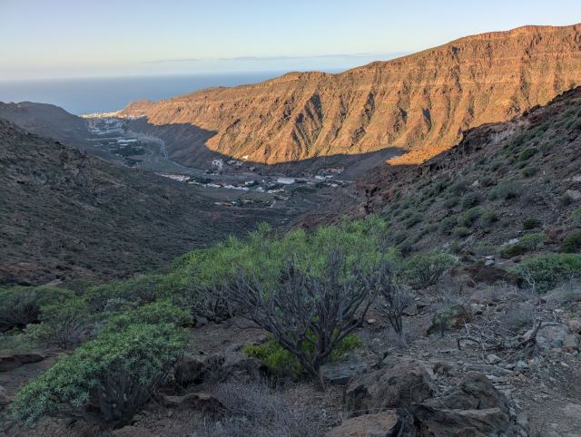
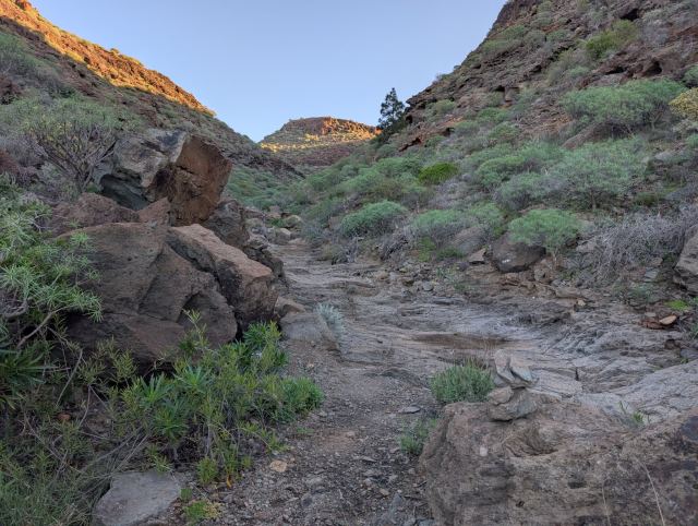
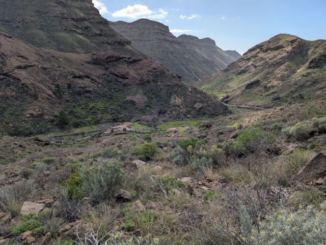
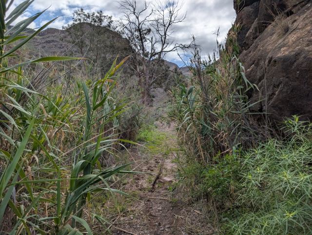
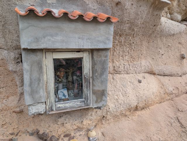
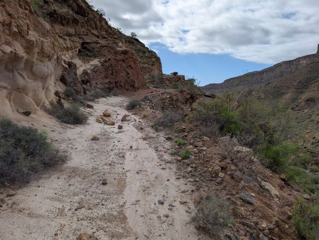
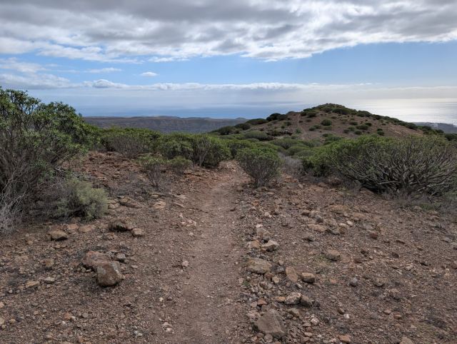
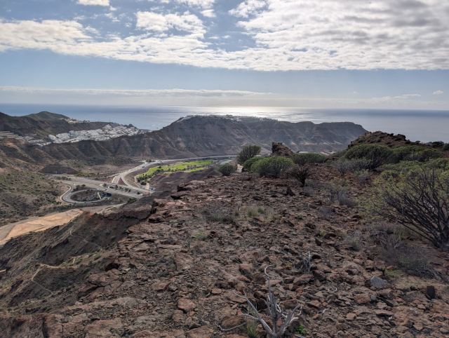
Morning hike from Aquacanis, where we are staying, into the Canada del Burro valley. The hike follows a road and stairs up to the Natural Park and then turns onto a trail at Marianne's cave and Plaza de la Cueva. A bit of an incline at the start but quite flat further into the valley. At the bottom of the valley, you can either follow a steep trail up towards the height above and continue towards the Norwegian spot or follow a trail around on the other side of the valley. We followed the trail around the valley for a while before returning the same way we came.
15.12.2025
Long circular tour from Motor Grande
⬇ Download GPX file
It has become a tradition to take this hike every time I am here, and today the weather was absolutely perfect for just such a hike. The hike starts at the roundabout at the top of Puerto Rico (Motor Grande), leads us through a series of well-known destinations, and finally ends where we began.
From the parking lot, the path winds its way up a dry riverbed in the valley. A short distance up, the path splits, and you can follow either if your goal is Norskeplassen. If you are going on to Eivindsplass, you should choose the one on the west side. The path on the east side of the valley, Rianstien, has a short steep section with ropes, which might be perceived as scary by some, but after this, the path is without challenges, and you walk mostly in the riverbed all the way up. The path on the west side, Tvedtstien, is steeper, and most of the ascent you have to make is at the beginning of it.
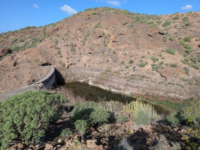
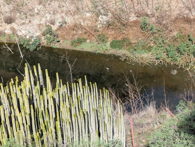
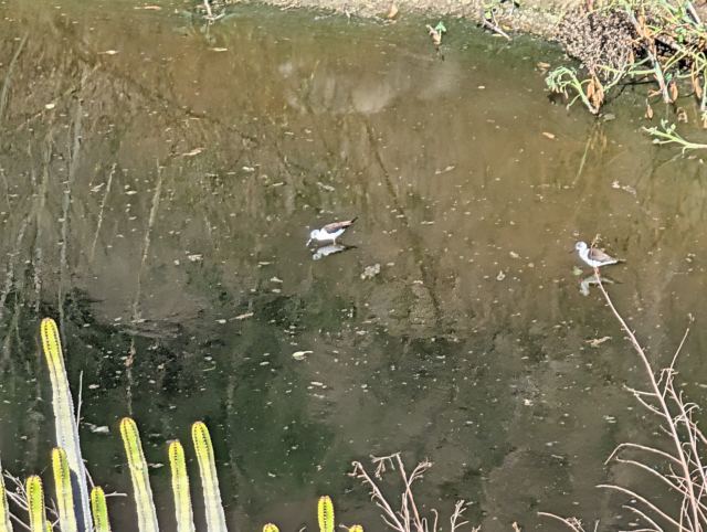
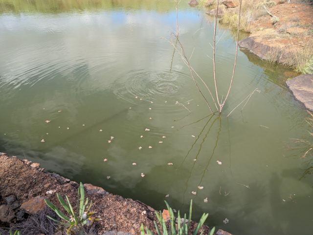
As I am going to Eivindsplass, I take Tvedtstien (to the left). When I reach the ridge between the valleys, there is a trail junction where I turn off towards Eivindsplass. The path here descends to what is called Grønnedamen, a reservoir named because algae color the water green. Today there was very little water in the pond. A small group of stilts are wading around looking for food. A grouse takes flight as I round the rock outcrop and look straight down at the water.
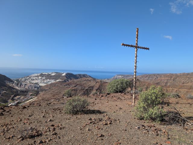
I continue past the reservoir and decide to take the detour out to the cross, which is placed at the very end of the next ridge. This cross, which has many light bulbs, is positioned so that it is clearly visible from Puerto Rico. They use to light it on the most important religious holidays. At Christmas, this is the Epiphany, January 6th.
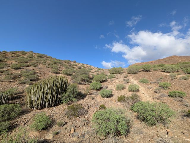
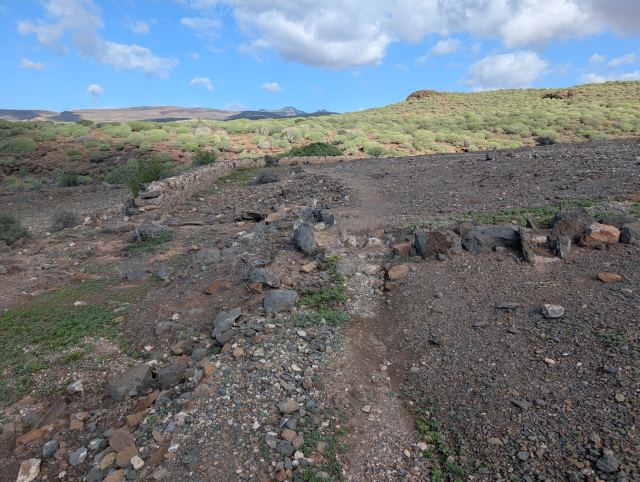
I take some pictures and continue towards the next stop, Eivindsplass. Instead of going down into the valley and following the usual route, I keep my elevation and follow a path on the west side of the valley. I have walked here before, but now there is a considerably more distinct path here. Clearly, more people are going this way now. Eventually, I reach the path to Eivindsplass.
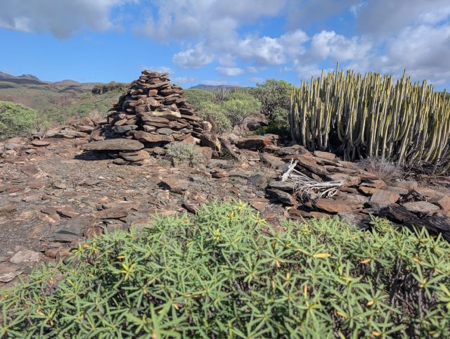
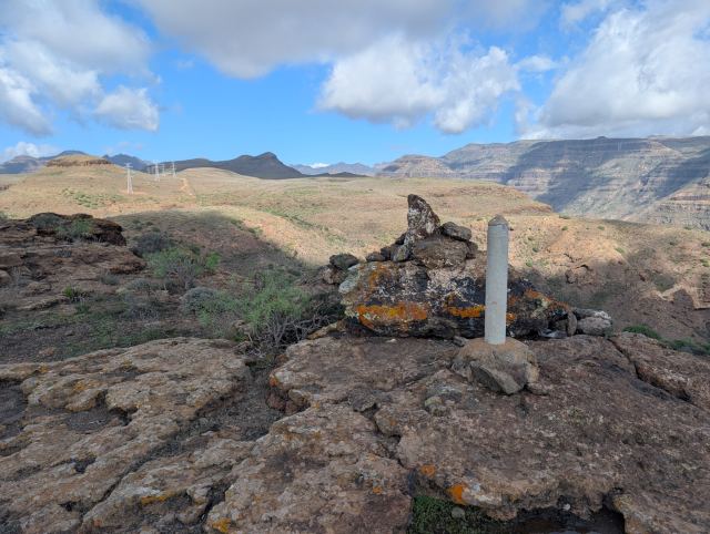
After a kilometer, I reach the small hill with cairn(s) and the stone bench built at Eivindsplass. Here there is a nice view down towards Puerto Rico. I eat some of the baguette I brought before I wander on.
From Eivindsplass, I follow the ridge over towards Finkaen, a farm located a kilometer further north. From Finkaen, the path follows the edge of the valley side which I will cross later. A few hundred meters later, I reach the "rope" where I have to climb down to the valley floor. On the other side, there is an ascent of the same number of vertical meters as I descended.
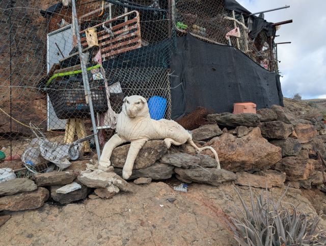
The path now follows the edge on the other side of the valley all the way to Hjermandsplass. Here I take a short drink break before continuing towards Dusjen. Close to Hjermandsplass lies a cave dwelling, built against the rock face, and outside it is a stuffed tiger. It is a well-known landmark for those who hike past here. It is so bleached by the sun that it doesn't resemble a tiger much anymore.
From Hjermandsplass, the valley splits into two, and I therefore have to cross two valleys before I reach "Dusjen" (The Shower), which is located by the gravel road coming from Puerto Rico on the other side. The name "Dusjen" comes from a water pipe here from which water used to spray out due to a hole in the pipe.
From Dusjen, I follow the path across the hill where there is an MTB trail and soon arrive at the path that goes down to the viewpoint "Treet" (The Tree). I take a quick detour to Børres plass, a little further south, before continuing down towards Treet/Bjartes plass. Treet is a simple pine tree that has clung to the edge, and from where there is a great view down into the Arguineguin valley and the campsite at El Pinillo. Here I take another drink break before heading towards Karpedammen (The Carp Pond).
On the way down towards Karpedammen, I first pass the hill where Rigmors plass is located. I can't quite find the path further on here but aim for where I know it is on the other side of the valley. Soon I reach the path coming from the north and follow it for a short distance before turning off towards the pond itself.
The pond is completely full of water, and it is so dirty with algae that it is difficult to see if there is any life here. I have some bread crusts with me, which I break up and throw out. It doesn't take long before the carp discover this, and the surface of the water begins to boil. The largest carp are probably several kilograms, and they devour most of the larger pieces, while the smaller ones have to settle for crumbs. A turtle also appears but is far too slow to get a share of the feast.
From the pond, I continue towards Vårres plass, which is about a kilometer further south. It's getting late, so I just make a short visit to the cairn before I hurry down the ridge and into Champagnedalen (Champagne Valley). Down in the valley floor, I can still see traces of the rain from the day before, and here, as always, the air is very stagnant and very hot. On the other side, it's just as steep as it was going down, and my pulse reaches its maximum with the pace I'm maintaining now.
After ten minutes, I reach the top of the next ridge and continue down from it, passing the pump house located below and heading towards the gravel road to Norskeplassen. I keep my elevation above it and soon reach the path and the trail intersection down towards Tvedttstien. Halfway down this, I cross the valley over to Rianstien and follow the ledge out towards the rope and the descent here. New ropes have been installed here since last time, and the bushes that were here are now gone. Down from the rope, I reach the riverbed and find the path down to the parking. A few minutes later, I arrive at the parking lot and the car.
📷 View photos in Google Album
20.12.2025
Cooperative in Mogan to Tauro
⬇ Download GPX file
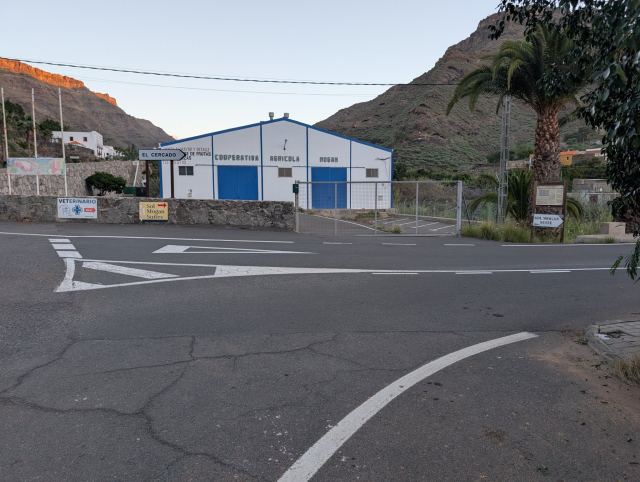
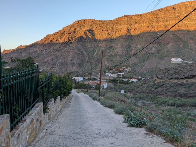
The hike starts at the Cooperativa in the Mogán Valley, a former fruit and vegetable warehouse for local farmers. Follow the road across the bridge to the first intersection and turn left. Continue until the road ends at a small parking lot; from here, the trail begins.
The trail zigzags up the mountainside until you reach the edge of the ravine at an altitude of 540 meters, an ascent of approximately 400 meters. From here, the trail continues with a steady incline along the edge of the valley ravine until it meets the trail from the Windmill (El Molino de Viento) at an altitude of 745.
The route continues across the plateau with the same steady incline. Here, the first pine trees appear, a sign that you are approaching the more lush part of the island.
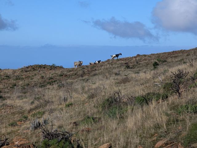
On my way toward a hill, I came across a herd of goats. Usually, they don't care much about people, but in this herd, there was an unusually large and aggressive buck with only one horn. When it caught sight of me, it lowered its head and snorted. The buck gave clear signs that I should not come any closer, so I backed away and walked through the terrain below the herd to get around it.
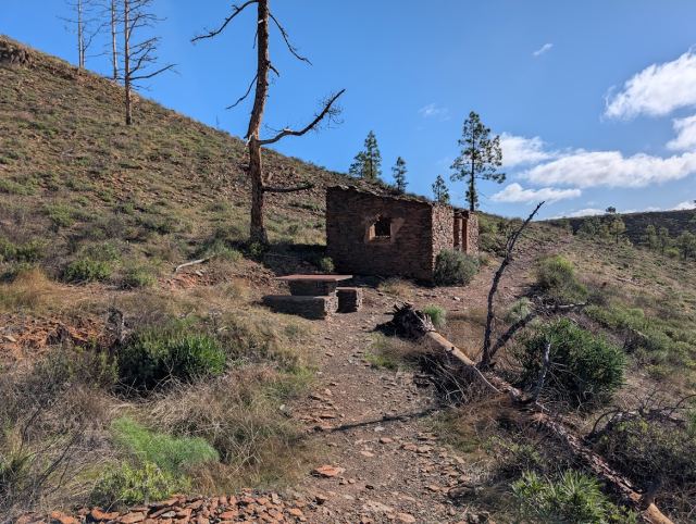
A few hundred meters later, I arrived at the hiking destination "Two Rooms and a Kitchen" (Degollada de las Lapas). After a quick lunch, I continued east toward the trail junction and turned south toward Tauro. Here, you can also choose to continue toward Montaña de Tauro or Degollada de Cortadores, where the gravel road from Puerto Rico ends.
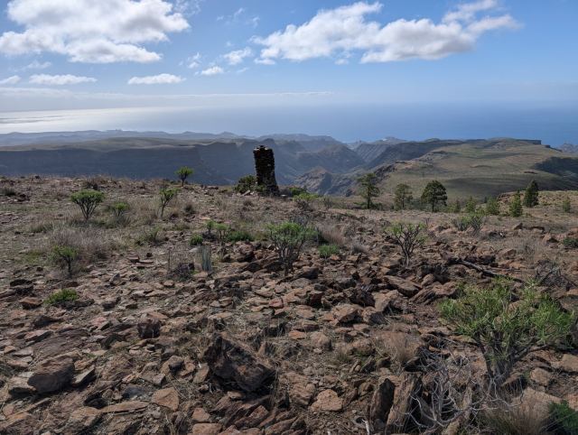
The trail toward Tauro follows a mountain ridge over the peak Alto del Mojón (943 m.a.s.l.) and crosses the valley to Lajas de Medina. Here, the terrain flattens out, and you can see down the mountain ridges toward the sea. I aimed for the ridge heading toward Playa del Cura and Playa de Tauro. Here, I met a group of mountain bikers on their way up from Taurito. They had had a tough climb and seemed to appreciate the flatter section. Shortly after, a large cairn marks the start of a steep descent.
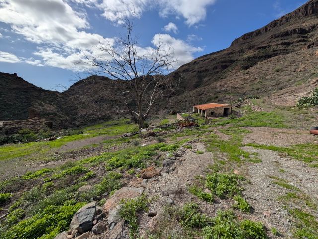
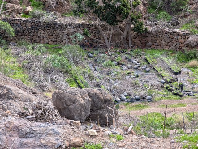
Eventually, I turned onto the trail that goes down into the Tauro Valley. It first runs diagonally along the mountainside before zigzagging 350 meters down to the valley floor. Here lies an abandoned farm where plant nursery operations were once conducted; old pots lie scattered in the fields, and the buildings have fallen into disrepair. Water was flowing in the riverbed next to the farm, likely from Presa del Embudo further up the valley, which has filled up after the rain in recent weeks.
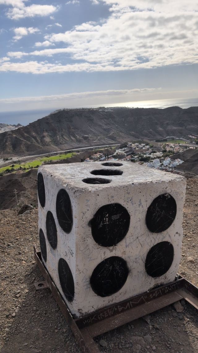
From the farm, I followed an old gravel road that, after a couple of kilometers, climbs up the opposite side of the valley. This follows the mountain ridge down toward Tauro, past familiar spots like "The Summer Barn" and "The Die," before ending at the residential area.
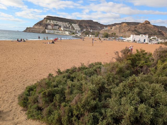
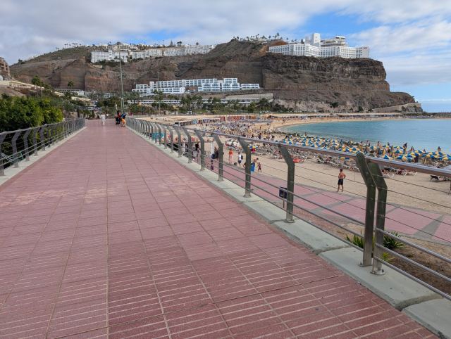
I continued down toward the sea via the golf course, crossed the road to Puerto de Mogán, and reached the Vistamar restaurant (formerly Pio Pio) by the beach. From there, I followed the promenade home to the apartment in Nydalen (Agua de la Perra).
📷 View photos in Google Album