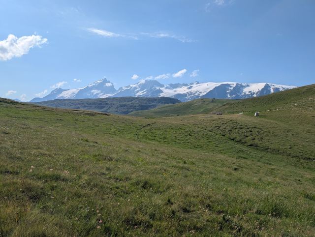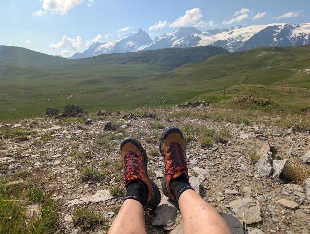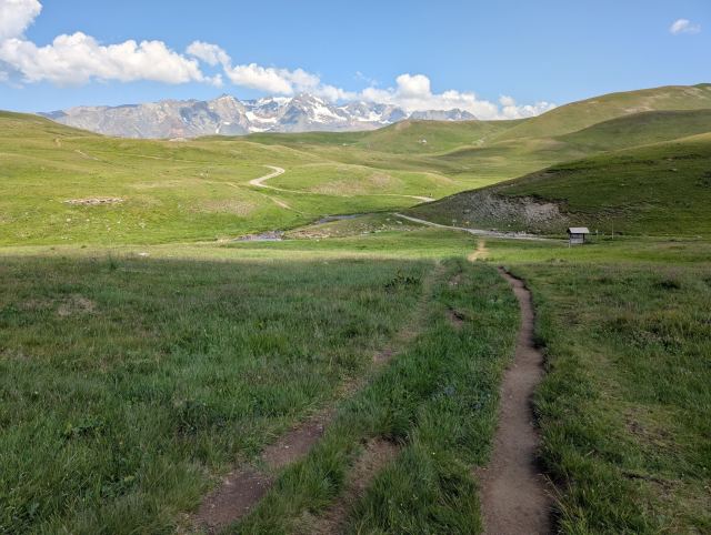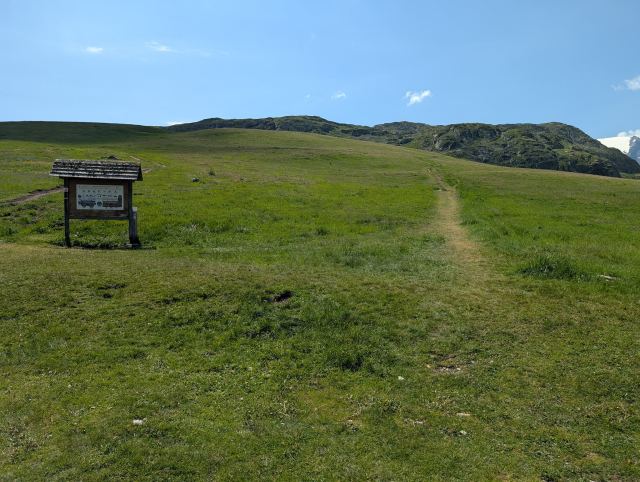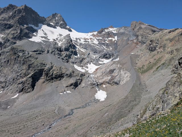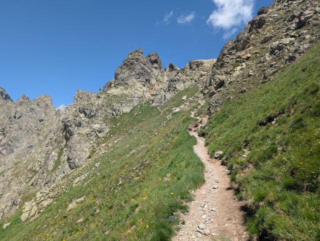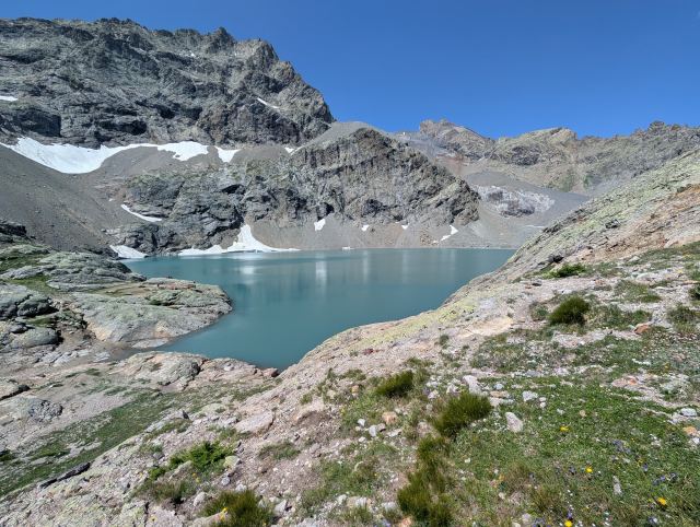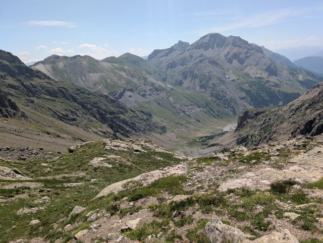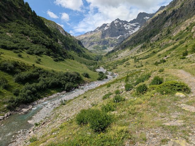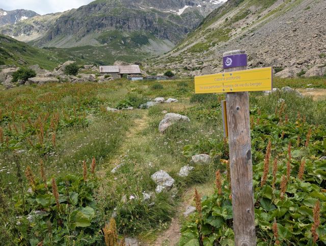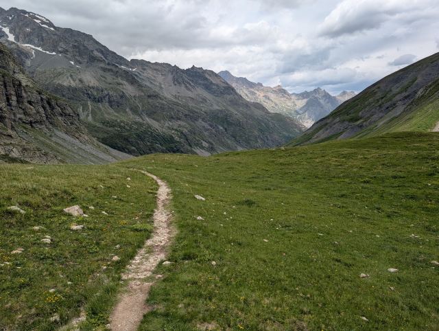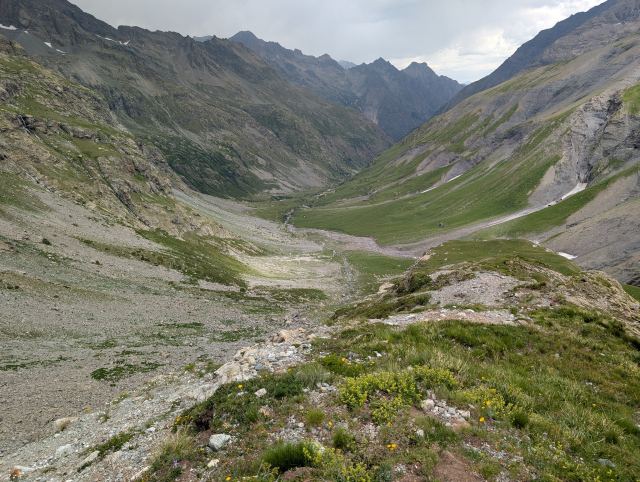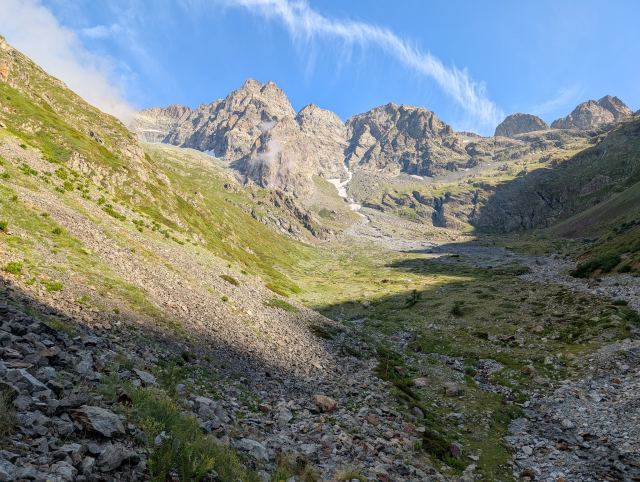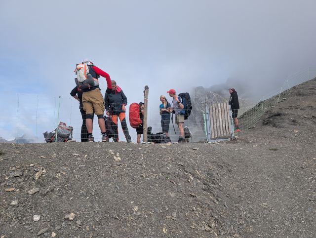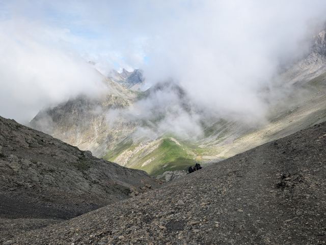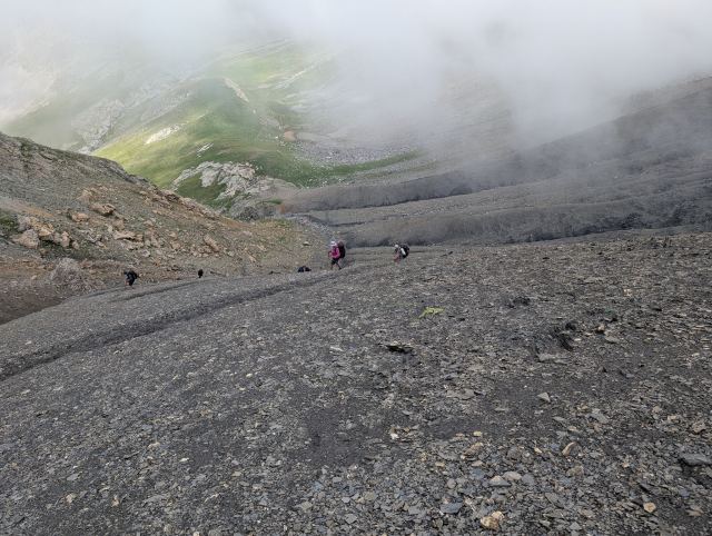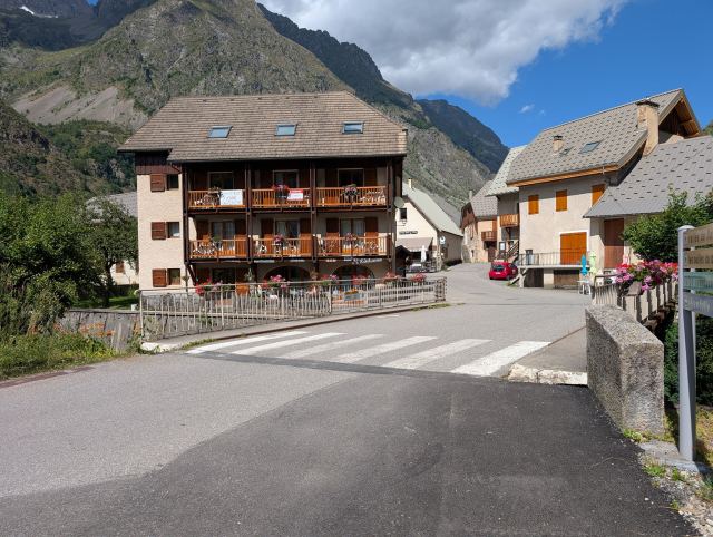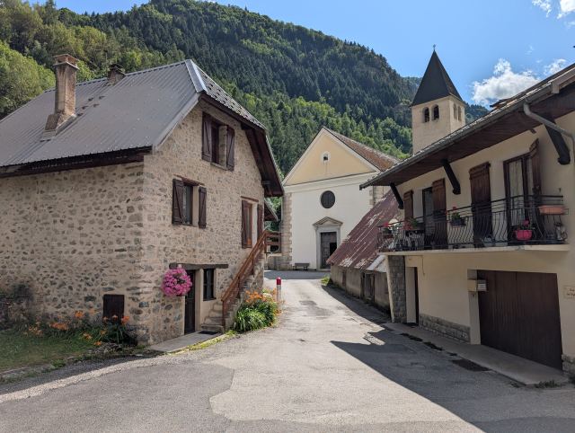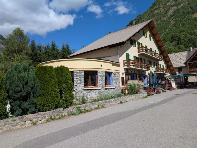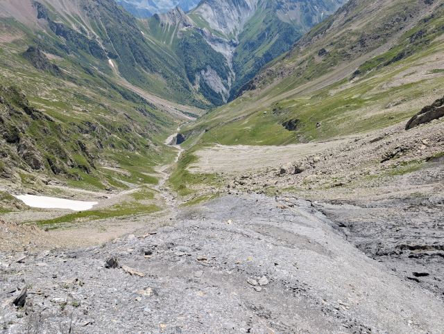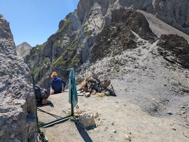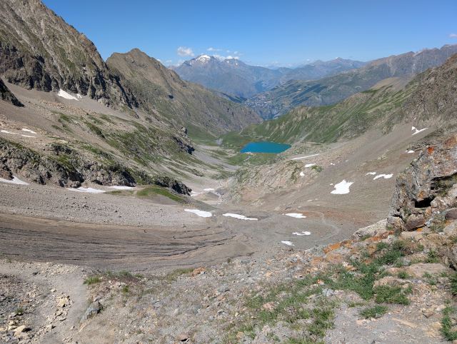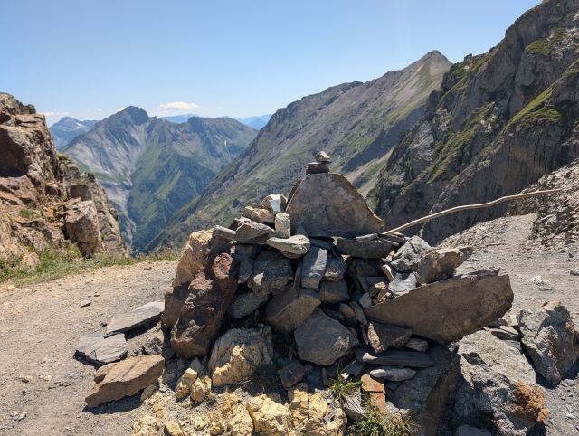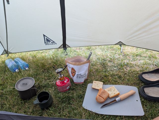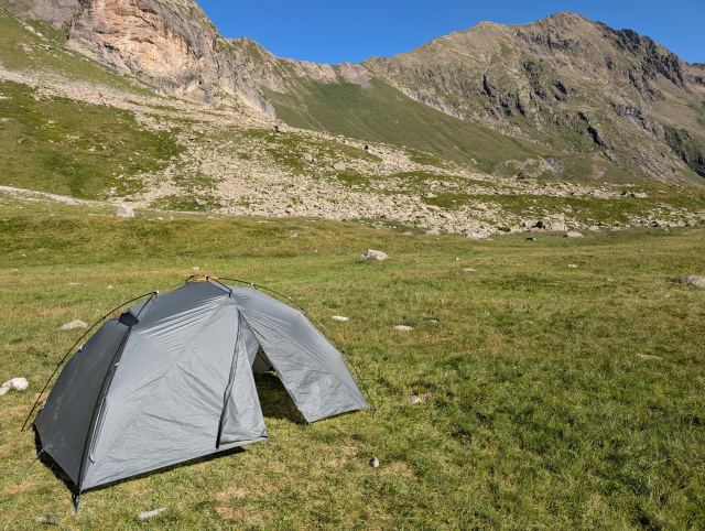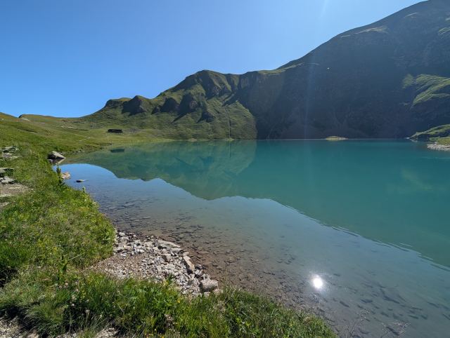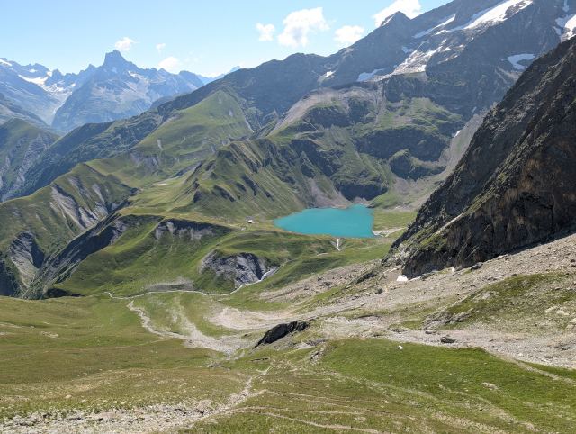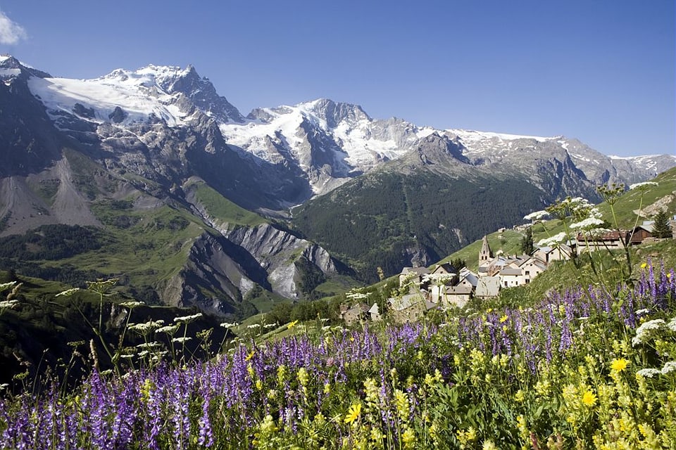
GR54: Tour of the Ecrins

📅 02.07.2025 – 13.07.2025 🥾 10 days

Diaries from the trip

Oldest first ⇅
02.07.2025

Day 1: Le Bourg d’Oisans - Besse-en-Oisans

⬇ Download GPX file
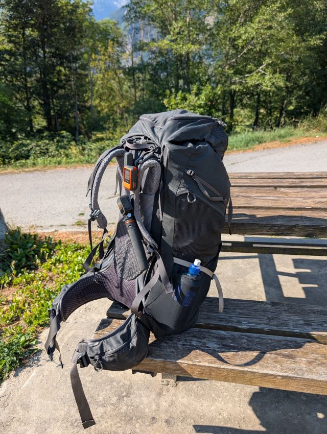
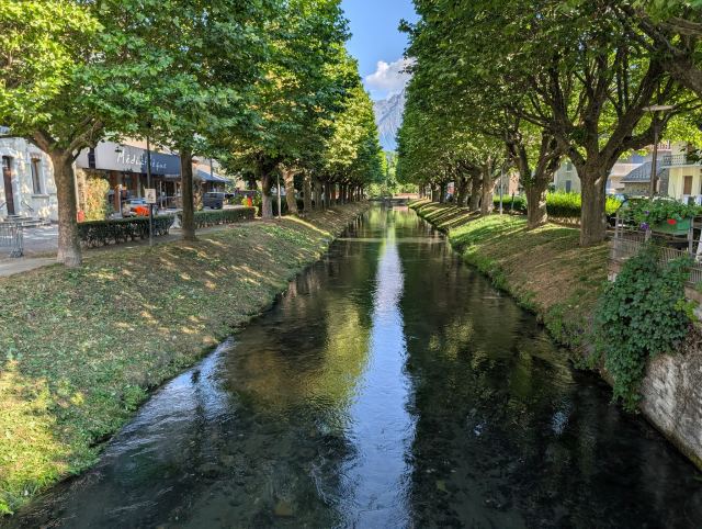
Pakket og klar for tur! Elven som renner gjennom Le Bourg d''Osains er nydelig
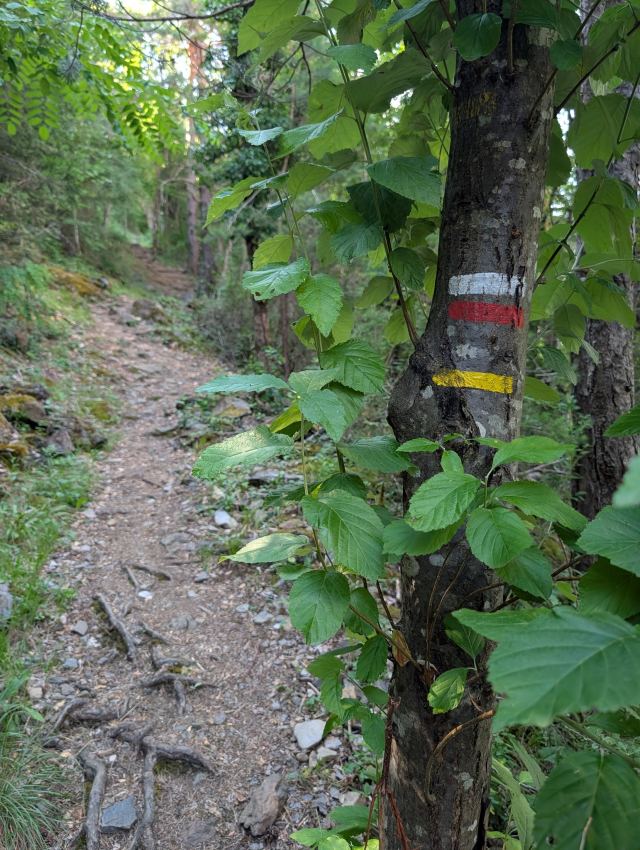
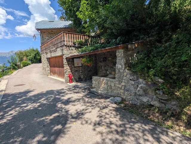
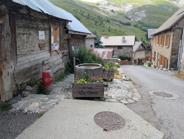
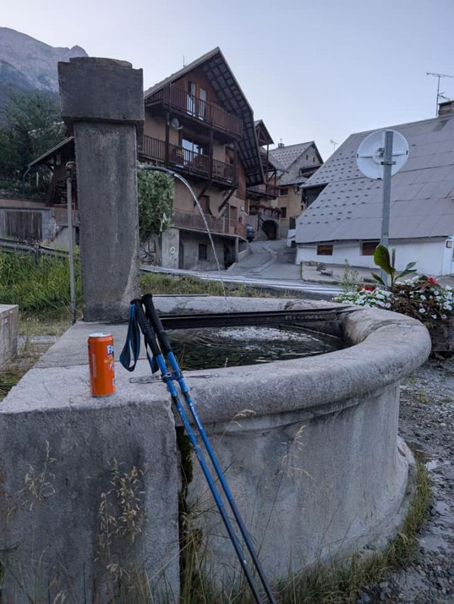
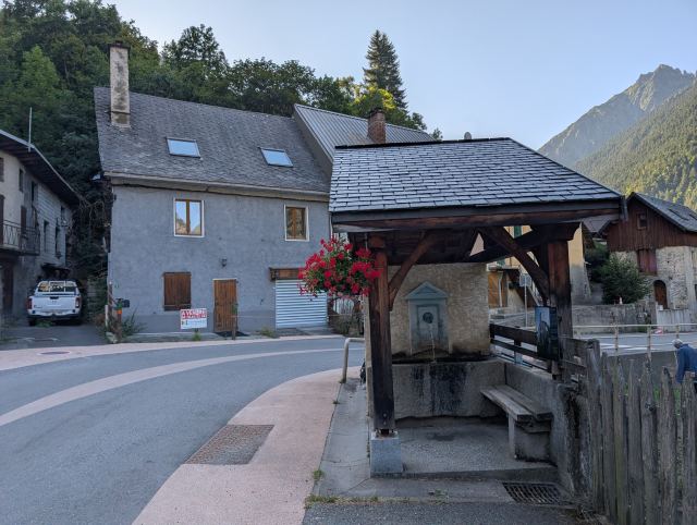
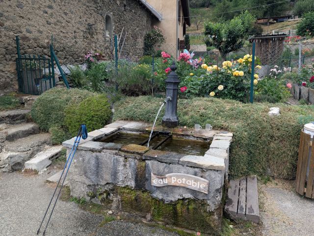
Merking for GR54 De fleste tettstedene har slik vannposter som renner hele tiden. Vannet er alltid kaldt og smaker godt her.
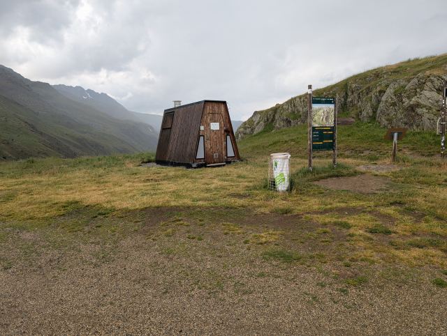
Alpinanlegget til skisportstedet Alpe d'Huez som ligger på andre siden av fjellet her. Offpistløypene i Alpe d'Huez Col de Sarenne (1999 moh.)
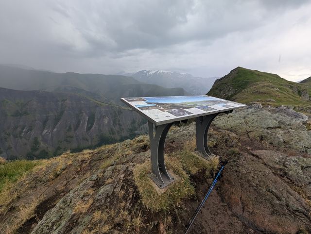
Var ikke lett å få øye på fjelltoppene fra utsiktspunktet på Col de Sarenne. V
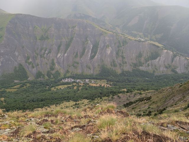
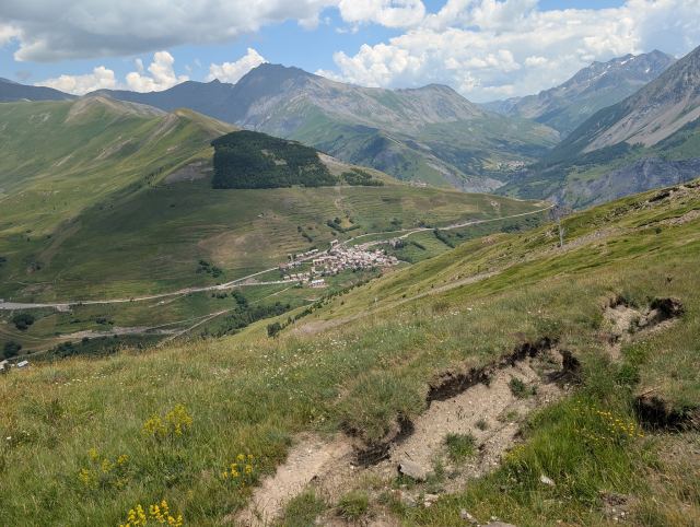
Langt der nede skimtes Clavans-le-Bas og i neste dal kan jeg også se Besse som er dagens mål.
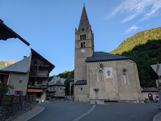
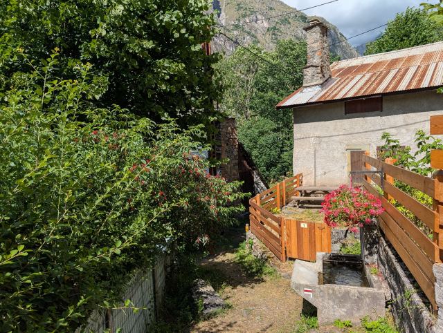
Vannposten i Clavans-le-Bas var pent utsmykket
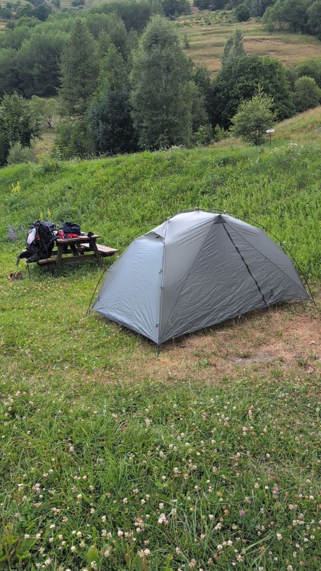
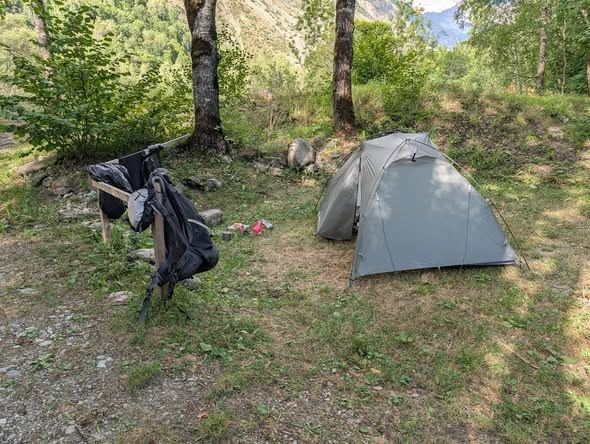
På tur inn i Besse Teltet oppslått på campingen i Gay Dagens middag.
I took a bus directly from Geneva to Grenoble and another bus from there to Le Bourg-d’Oisans. The journey went smoothly, but it was a long day that started at 04:30 in Narvik, with arrival just before 20:00. I was completely wiped out when I entered the apartment I had rented.

There is a heatwave in France now, and it’s very noticeable in Le Bourg-d’Oisans as well. I therefore wanted to start the first stage as early as possible to avoid the heat during the steep initial climb. I hoped to reach the grocery stores before they closed at 20:00 so that I would be ready early the next morning. I made it by the skin of my teeth, but they had neither bread nor gas, so I still had to go out and shop before starting the next day. The grocery store opened at 07:00, while the sports shops that had gas didn’t open until 09:00. Oh well, it turned into a long and good breakfast while I waited. 😃

It was half past nine before I got started with the hike. The beginning follows a main road up the valley past the small settlement of Le Châtelard. The trail creeps up through the forest between the road that zigzags here, and the smell of clutches from heavy vehicles on their way up stings the nose. Eventually, I pass the settlement, where I take a small water and breathing break.

Then the hike continues through two hamlets before a short descent leads into the forest at Gorge de Sarenne. From here, a long but not very steep climb begins towards Col de Sarenne (1999 m.a.s.l.), which will be the highest point of the day. That is to say, there is a viewpoint located a bit higher up, which will be the actual peak. On the way up, I managed the feat of getting lost twice. The last navigational error turned into a long detour, but fortunately, I didn’t have to hike back up the steep incline I had already covered, as I found a path along the valley that met the trail I was supposed to be on. The reason for this is that I had somehow changed the trail in the app I use (Hiiker). When I figured this out, I downloaded the map again, and I obviously won’t be touching those settings anymore. 😄

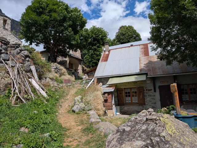
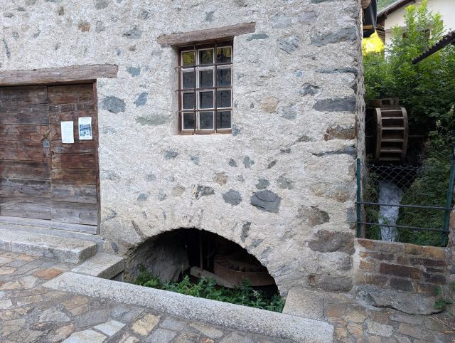
Just before I arrive at the pass, it starts to rain, but fortunately, it doesn't last long. Just as I start the descent on the other side, it stops. From the pass, it heads steeply downwards into the Vallée du Ferrand, and eventually, I wander through the small hamlet of Clavans-le-Bas. The route then goes down to an old mill before climbing steeply up to the village of Besse-en-Oisans. Here I buy some food before continuing up the valley to the campsite Le Gay, where I pitch my tent for the night.

I knew that this trip is very demanding, and have therefore tried to prepare as well as possible. I have gone on many hikes with a heavy pack, as well as ramping up cardio and strength training. I have also gone back and forth on what gear to bring. Should I bring a large power bank? Do I need this many clothes? Is my tent, sleeping pad, sleeping bag, and backpack light enough? Well, it ended up with a new tent. 😄

There are several stages towards the end where it’s not possible to restock provisions, so I have to carry food for several days the whole way. My pack weighs about 13 kg without water, so I’m probably carrying 15 kg up the inclines here. Today's stage was both long and exhausting, and there was a period where I became uncertain if I would be able to manage this over so many days (approx. 10). I already notice wear and tear on my knees and hips, and my shoulders have taken quite a beating as well. However, it’s the heat that is the worst. I’m not used to hiking in the scorching sun and 25–30 degrees, and the fluid loss is significant. Simply put, it requires good discipline to get enough fluids along the way. You have to drink even if you aren’t thirsty, and I probably wasn’t good enough here, as I became very sluggish on the way up one of the toughest inclines. After a long water break where I took a couple of electrolyte tablets, it felt better.

When you go on such long hikes with demanding stages every day, it usually takes two to three days before the body adjusts to the strain. It will feel easier when that happens.

Total distance: 29.2 km
Maximum altitude: 2014 m.a.s.l.
Total ascent: 1865 m
Total descent: 1019 m

The stage on Strava:
https://strava.app.link/nm8bnGdwGUb

You can follow me on the trip here:
https://share.garmin.com/torgeirmork
📷 View photos in Google Album
03.07.2025

Day 2: Besse-en-Osains to La Grave

⬇ Download GPX file
På tur fra campingplassen, La Gay
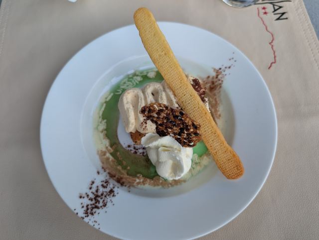
Grei stigning i starten. Etter hvert blir det brattere og tyngre i varmen. Passet Col Nazir (1901 moh.) Endelig framme på passet Col de St.George (2244 moh.) Pause på Col de St.George med utsikt over Plateau d’Emparis Valgets kval. Skal jeg ta avstikkeren til Lac Noir? Lac Noir Lac Noir Lac Lérié Treffer snart på GR54 løypa igjen La Meije (3984 m), nest høyeste fjellet i Ecrins massivet Mektige Meije På vei ned til le Chazelet Nede i La Grave Biffrett av noe slag. Smakte godt. Is og krem på en kakebunn. Var veldig god.
I didn't quite manage to relax on the sleeping pad last night, so it took a long time before I fell asleep. It didn't help that there was some kind of insect under the tent fly making a strange noise every now and then. If I had managed to locate it, it would have been toast 😄.

I was out of my sleeping bag at half past six and ate the last of the baguette I bought in Le Bourg. Then I packed my gear and tent and got ready to go. The campsite host stopped by to collect payment just before I left. She had gone home when I arrived yesterday, but she had a good handle on who hadn't paid 😄.

The guy in the neighboring tent was ready at about the same time as me, and we left the campsite together around half past eight. The sun had just come over the ridge and was already quite warm. It would turn out to be a very hot day.

From the campsite, the route starts with a steep climb of about 700 m up to Plateau d’Emparis. This climb is demanding, but it went fine up to the Col Nazir pass (1901 m above sea level). From there up to Col de St. George (2244 m above sea level), it got tough, and I was completely spent towards the end. The heat became intense, and my heart rate skyrocketed as soon as I started walking, even though I was moving slowly.

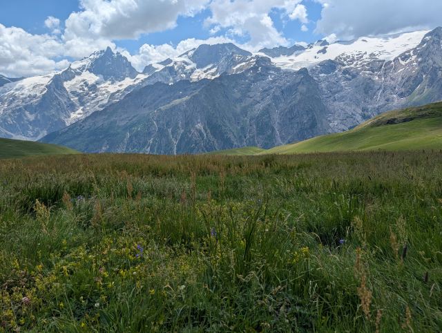
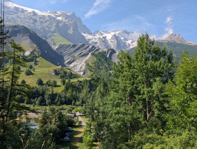
From this pass, you have a fantastic view of the plateau. The plateau itself is a large, fairly flat, and grassy area, and with the mountain La Meije in the background, it looks like a scene straight out of Lord of the Rings. The route now crosses the plateau, and at its lowest point, you can take a detour to the lakes Lac Noir and Lac Lérié, which are located at the far south of the plateau. This option goes in a semicircle past the lakes and back to the GR54, so it’s not a very large detour. After a lunch break at the pass and hiking across the plateau, I feel refreshed again, so I take this detour. On the way there, I have to cross a ridge, so there is more climbing, and the peak here becomes the day's highest point (2457 m above sea level).

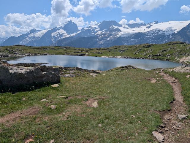
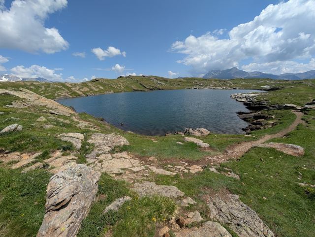
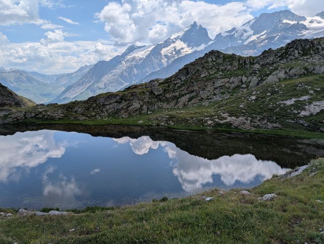
The lakes are popular hiking destinations, and several people had made the trip there today. When it is perfectly still, the mountains in the background reflect in the water and provide great photo opportunities. Unfortunately, there was a bit of a breeze and ripples on Lac Noir, and it never became completely still during the half hour I rested there. I continued down to Lac Lérié to see that one as well. Here it was calm, and reflections of mountains and clouds showed up clearly in the water, even though they might not have been the right mountains for that specific spot. On the way back to the GR54, I heard and saw many marmots. They were quite a distance away and out of photo range.

The route eventually heads steeply down towards today's destination, La Grave. The descent here is tough and endless, but eventually, I reach the village of Le Chazelet. Here I refill my water bottles before continuing further down to La Grave. I pass many hiking groups on their way both up and down. I don't envy those heading up in this heat, but everyone greets me with a "bonjour" as they pass.

It must be said that the vast majority of people I meet here are very friendly and happy to try to strike up a conversation. The problem is that only a few speak English (usually young people). It therefore becomes difficult to communicate even when trying with the few French words I know. They chatter away unbothered even though they see that I don't understand a thing 😅. I also meet very few foreign tourists here, which might be related.

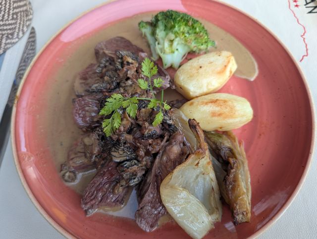
I arrive in La Grave a little after three in the afternoon and check into Hotel Castillan, where I will be staying tonight. Here I'll be washing and drying both gear and body. I also agreed to have dinner at the hotel's restaurant, and it was a good meal.

Total distance: 19.1 km
Maximum altitude: 2,457 m above sea level
Total ascent: 1,131 m
Total descent: 1,211 m

You can follow me on the trip here: https://share.garmin.com/torgeirmork
📷 View photos in Google Album
04.07.2025

Day 3: La Grave to Monêtier-les-Bains

⬇ Download GPX file
På vei ut av La Grave passer jeg campingen. Opp stigningen for å komme over skjæringen i dalen. På vei ned mot elven Romanche igjen
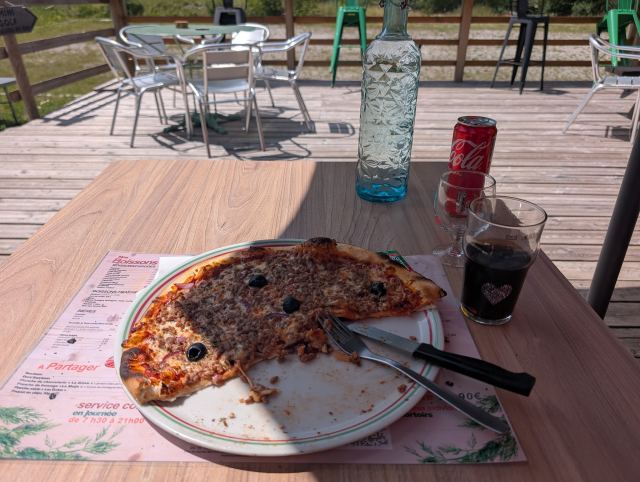
Pizza med kjøttdeig er en greie her i området. Den var veldig god da.
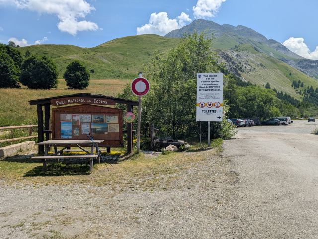
Inngang til nasjonalparken i Ecrins. Var mange regler som gjaldt her.
Innerst i dalen begynner stigningen.
Col d'Romanche (2058 moh.)
Romancheelven fortsetter inn en sidedal her. Noe av breene kan skimtes i bakgrunnen.
Arsindalen
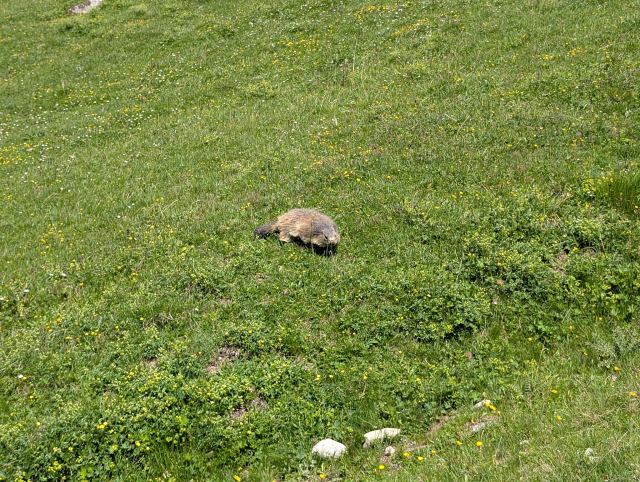
Det var mange murmeldyr ved siden av stien og de var tydeligvis vant med mennesker.
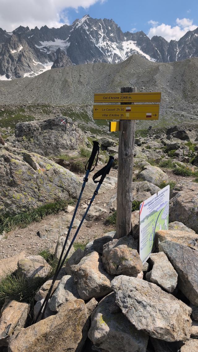
Col d' Arsin (2348 moh)
Bak haugen i forgrunnen ligger brevannene Lac duGlacier d'Arsin,
Elven fra brevannene
Løypa følger elva ned den vakre dalen
Lac de la Douche, populær badeplass
På vei inn i landsbyen la Casset
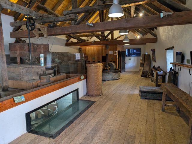
Møllemuseumet i Casset
I must admit I was a bit down after another heavy day. The weight of the pack was too heavy to carry up and down the steep climbs in the heat, and some adjustments had to be made. Before I fell asleep, I decided to send home some of the equipment I don't really need. It was the GoPro camera, some wool underwear, and the guidebook for GR54 – in total, I’ll get rid of a couple of kilos.

The post office didn't open until 9:00 AM, so there was no early start today. To save further weight, I ate one of the cereal packs I had brought with me while I waited (- 150 g) 😄.

At the post office, there were naturally new challenges. The woman working there didn't speak a word of English, so ChatGPT became the savior for communication. Since the package was being sent out of the EU, an online declaration had to be filled out for the French postal service. Yep, it was only in French, of course 🥹. It was quite a struggle to fill it out using Google Translate. It was nearly 10:00 AM before I got moving, and by then it had also become really hot.

From La Grave, the trail crosses the river just after passing the campsite on the east side of town, and here it goes straight into a steep climb to get over the ridge in the valley. After about 300 meters of elevation gain, I reach the top of the ridge and begin the descent towards the river again. By then, I had become extremely sweaty, and sweat was dripping from my t-shirt. I have never experienced anything like it before. The positive thing is that the pack feels much lighter now, and it’s not as hard to walk the steep climbs. Two kilos clearly make a difference. Or it could be the body adjusting; "trail legs" as they call it in the community 😄. It’s probably both, I imagine 🙂.

The trail now follows the Romanche river on flat terrain to Pont d'Arsine, a campsite located at the end of the road. I stop here for lunch; it was pizza with minced meat 😁. Yes, it was really good, with a proper homemade pizza crust.

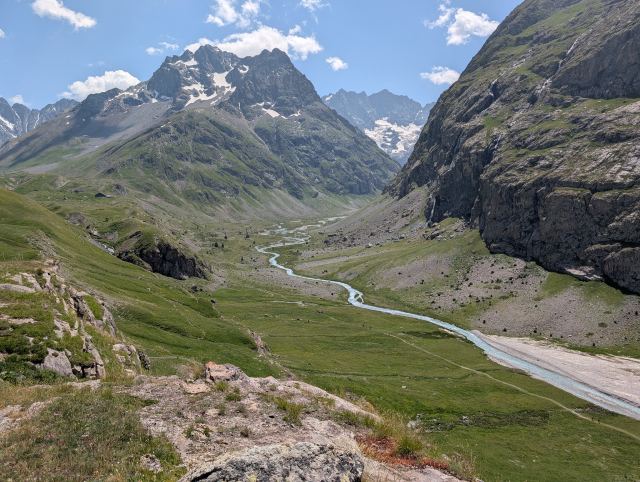
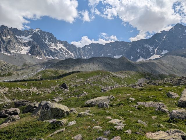
From the campsite, the trail continues all the way into the valley floor, where it then climbs steeply up to Col d'Romanche (2058 m). From this pass, you get a nice view of the beautiful valley where the Romanche river originates, and the glaciers clinging to the mountain massif at the far end of the valley.

GR54 now follows the Arsin Valley as it rises steadily to the highest point of the stage: Col d'Arsin (2346 m). On the way there, I get close to both cows and marmots. The marmots here are not particularly shy, so you get quite close before they move away. The cows, on the other hand, have calves, so they don't like you getting too close. Many people take large detours around the animals, and I understand that well. I didn't feel completely safe passing a cow with a calf.

From the pass, there is a trail up to a couple of glacial lakes, Lac du Glacier d'Arsin, which are recommended to visit. The original plan was to stop by these, but because of the late start, I wouldn't have made it to the grocery store in Monêtier. I’ve seen glacial lakes before anyway (what is it with these lakes you just have to see?).

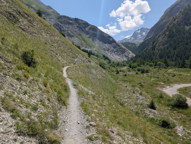
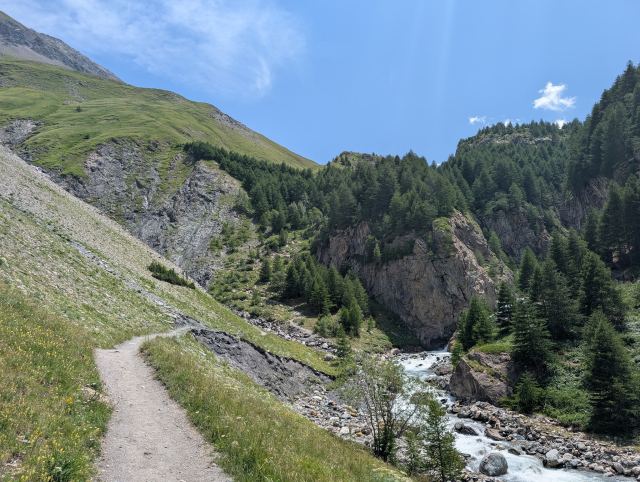
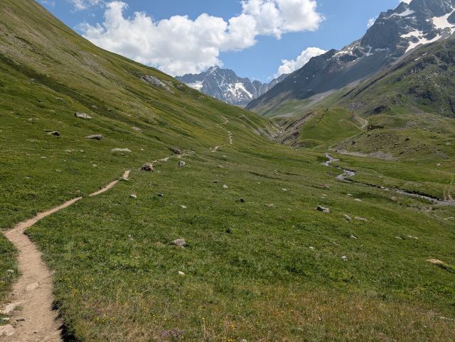
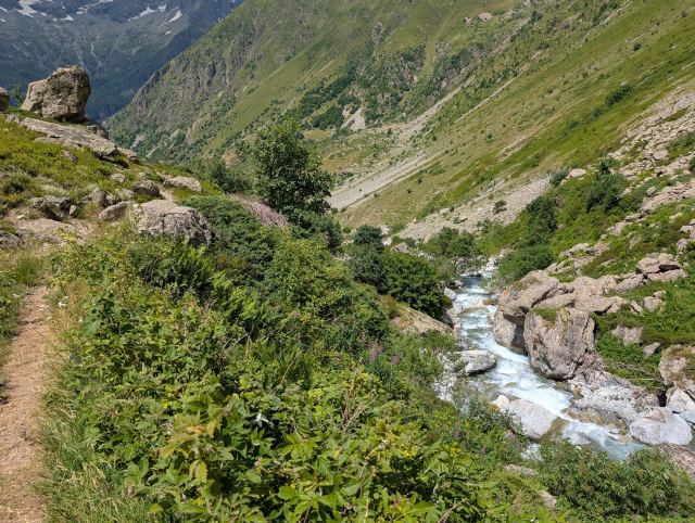
The descent from the pass follows the glacial river from these lakes down the valley. The valley is lush, and with the turquoise river winding like a snake down the valley, it is a fantastically beautiful sight. Absolutely the finest I've experienced so far on the trip.

After the descent, I stopped by the small mill museum in Le Casset before strolling further down to the campsite in Monêtier. The campsite was full of young people, and there were no tent sites left. I didn't want to look for a campsite so late in the day, so I stopped by the hotel located right across the street from the grocery store. They had a room, but it cost €190! It was considerably more expensive than I had planned, but I took it anyway. Oh well, you have to treat this tired body to a bit of luxury 🤪.

All in all, it was a very good day. My body felt much better, and this stage was clearly the most beautiful so far on the trip. A perfect six on the dice 😆.

Total distance: 27.4 km
Maximum altitude: 2358 m above sea level
Total ascent: 1134 m
Total descent: 1127 m

You can follow me on the trip here:
https://share.garmin.com/torgeirmork
📷 View photos in Google Album
05.07.2025

Day 4: Le Monêtier-les-Bains to Vallouise

⬇ Download GPX file
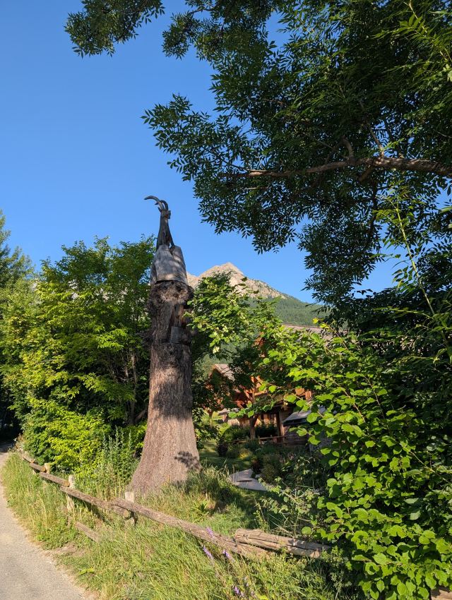
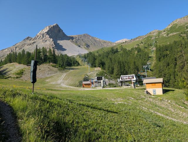
Langs veien mot skianlegget står det en del slik utskjæringer. Stigningen i skogen mellom bakkene i Le Monêtier-les-Bains Ut av skogen får man endelig se alpinanlegget. På vei mot  Col de l’Eychauda (2425 moh). Like oppe i bakken her er en avstikker til den alternative varianten over passet Col des Grangettes På tur mot varianten på denne etappen. Først må jeg forsere Pas de lAne (2503 moh) Så er det ned igjen på andre siden før man går opp den svært bratte stigningen til Col des Grangettes. Tar en pause først og nyter det flotte været og utsikten ned i anlegget. Endelig oppe på Col des Grangettes (2684 moh). Det er svart bratt opp her. Vakre Lac de l'Eychauda På vei ned Ser tilbake mot Col des Grangettes Lac de l'Eychauda Den alternative løypen møter GR54 løypen på det flate partiet nede i dalen her. Mange switchbak før jeg er nede. Mye folk på vei opp til vannet. Endelig litt flatere terreng Snart nede i Valloise hvor det blir nytt hotell.
Today's stage runs between the ski resorts of Le Monêtier-les-Bains and Vallouise, and as usual, it starts with a steep climb. Because of the heat, I naturally wanted to get an early start. The plan was to start at 7:00 AM, half an hour before breakfast at the hotel began. The staff suggested they could arrange breakfast for me by the time I was leaving. When I checked out, the breakfast was ready: a baguette with ham and cheese, a bottle of water, and a banana. Great service at this hotel!

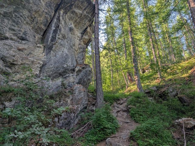
The start of this stage goes through the Serre Chevalier ski resort. Here, you climb over 800 meters in elevation, mostly through the forest. The forest is so dense that you don't even notice you are in the middle of a ski resort. The temperature was still cool when I set off, and inside the thick forest, the sun didn't break through either. These were perfect conditions for me. I can tell that my body has adapted now; I had no problems tackling the 800 meters up toward the pass. After 650 meters of climbing, you emerge from the forest and finally get a view. There are chairlifts and slopes in every direction, but you also see the magnificent mountains surrounding you.

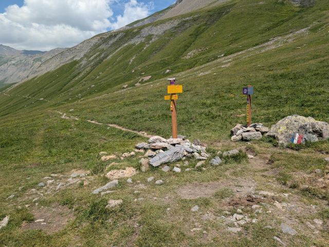
The GR54 trail follows the ski slope all the way to Col de l’Eychauda (2425 m above sea level), which is the highest point of the stage and the end station for one of the lifts. An alternative route has been created for this stage that leads around the ski resort. This variant goes over Col des Grangettes (2684 m above sea level) and down past the lake Lac de l'Eychauda. Both are popular hiking destinations.

It was originally my plan to take this variant, but I became uncertain when I arrived here. Therefore, I decided to stick to the main route instead. When I was almost up at the pass, I saw a sign that said "GR54 variant" with an arrow pointing toward a path coming in from the side. I checked the map and found that you could connect to the variant where it climbs toward Col des Grangettes. I was feeling great and quickly decided to try it anyway. That way, I got to experience the best parts of this route.

To get there, I first had to follow the trail over the pass Pas de l'Ane (2503 m above sea level). From there, the trail goes down into the valley, where it meets the route toward Col des Grangettes. The trail up to this pass is terribly steep, and toward the end, it goes almost straight up. Ropes have been placed to make it safer. I thought it was excessively steep, especially with a heavy pack on my back. A young couple walking behind me had to turn back when the woman panicked near the end. I made it up, but with lactic acid in my thighs and adrenaline in my body.

From the pass, the view down toward the lake Lac de l'Eychauda is fantastic. It is especially beautiful to see the water from here, as the surrounding mountains and the valley behind make it stand out in a special way. In the background, you can see the Vallouise valley, which I will eventually hike through to reach today's goal.

The path down to the lake is fortunately not as steep as on the other side. Once I had passed the water and began the descent toward the valley, I met many people on their way up. I assume this is because it is the weekend. The trail here zig-zags down the mountain and seems endless when you see it from the top. I could see people everywhere on the trail. I met several who had developed foot problems on the way up. I think some people might not quite know what they have embarked upon; the trip up to the water is no easy hike.

Down in the valley, both routes meet (GR54 and the variant), and the trail follows a road for a while before turning down through the forest toward Vallouise. When I arrived at the hotel, it was 3:00 PM and the temperature had reached 35 degrees. The air was completely still, and it was oppressively hot. I am glad to be finished for the day. Fortunately, cooler weather is forecast for the next few days.

The hotel is located right next to a grocery store and a couple of sports shops. After checking in, I stopped by the grocery store to buy food for the next stages. I also dropped by the sports shops to see if they had water filters. I think the one I have with me is broken, and I don't trust it. You shouldn't drink water from rivers or lakes here, as there are many animals in the area. I was lucky, as one of the shops had one filter left, and it was even from a good brand.

In the coming days, I will be moving through areas that are more remote than where I have been so far. I am unsure how good the coverage is and how often I will be able to charge my equipment. I must therefore be restrictive with my mobile phone use to save power, so it may take some time before new updates are posted.

Distance: 21.4 km
Maximum altitude: 2690 m above sea level
Ascent: 1412 m
Descent: 1639 m

You can follow me on the trip here: https://share.garmin.com/torgeirmork
📷 View photos in Google Album
06.07.2025

Day 5: Vallouise - Refuge du Pre de la Chamionette

⬇ Download GPX file
Frokost ved drikkekilden i Valleouise Sentrum av Valleouise
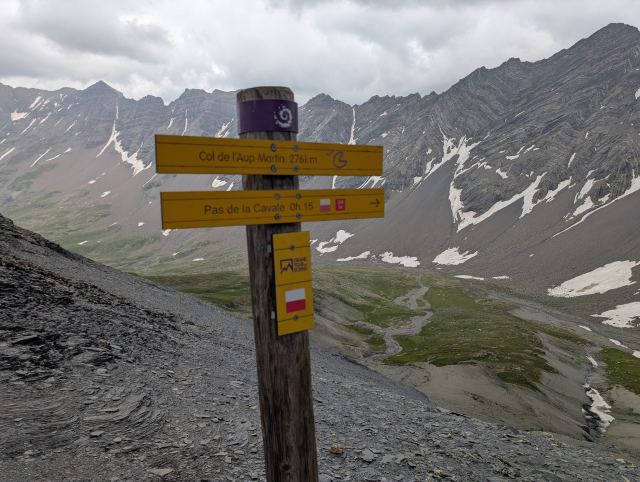
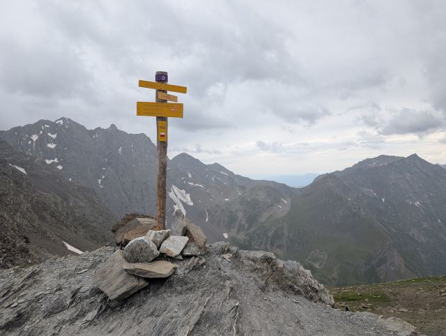
Elven Onde Grusveien opp dalen Spor etter flommen i september 2024 Nærmer meg kafeen Buvette En liten drikkepause ved kafeen. Cabane Jas-Lacroix er en ubetjent hytte som kan benyttes av alle. Ser tilbake ned dalen. Bratt stigning opp mot det første passet. Col de l'Aup Martin (2761 moh) Traversen over til neste pass. Pas de la Cavale (2735 moh) Refuge Pré de la Chaumettes kan skimtes nede i dalbunnen
Today's stage is considered very demanding. It takes me over the two highest points of the entire trip and to the Chamionette hut. This is remote wilderness, and you are lucky if you find mobile coverage on the highest passes.

I am up early and ready to hike a bit after seven. This hotel also arranged a baguette as a packed lunch – very good 👍.

The hotel is located a couple of kilometers from the center on the "wrong" side considering the next stage of the GR54. This means a couple of extra kilometers on today's stage. In the center, I find a bench and stop to eat the breakfast I was given. They are in the process of setting up a market right next to me; there is shouting and bickering between the stalls, but of course, I have no idea what it's about. It’s entertaining nonetheless.

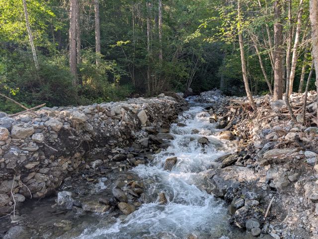
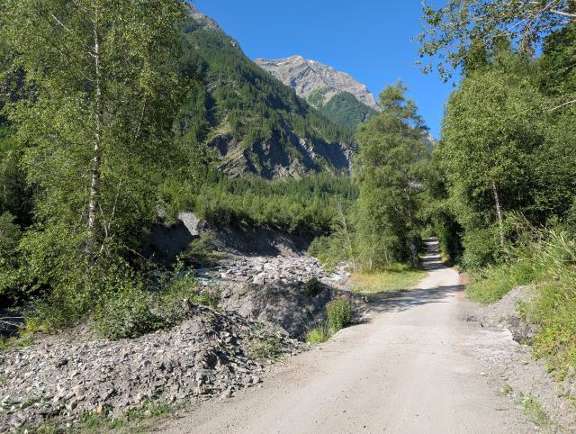
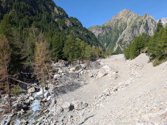
From Vallouise, the trail follows the river Onde up the Selle Valley. There was a major flood here in September, and parts of the path along the riverbank were washed away. This section is now closed, and the route has been diverted to the road on the other side of the river. Further up the valley, you can really see the extent of the damage. Several hundred meters of the road were washed away, and there are enormous amounts of stone, sand, and trees that were dragged along by the masses of water. The restoration of the road has taken a long time and was only finished at the end of June.

Walking on asphalt isn't exactly my favorite, but at least you can maintain a higher pace. There isn't much of an incline here either, so the 9 km up to where the road ends goes quickly. There is a small café here, Buvette, which is about to open when I arrive. It’s a short stop to top up on sugary drinks. The woman running the place speaks good English (finally) and tells me she has just opened for the season – much later than normal because of the flood. Since this is her livelihood, I clearly understand her despair. As I’m about to leave, she says it’s a six-hour walk to the hut and that rain is forecast for the afternoon. She thinks I should get over the passes before the rain sets in.

The trail follows the river further and rises steadily up the valley. Waterfalls flow down from the steep mountainsides, feeding the Onde. In some places, the river disappears into deep gorges; in others, it flows through tunnels under snowdrifts that haven't yet melted. Unlike the other rivers, the water is crystal clear, and you feel like taking a dip in the heat. Beautiful!

It has been rising steadily since I left Buvette, but looking up at the mountainsides around me, I realize there's a long way to go. The altimeter on my watch shows 1905 m above sea level. The first and highest pass is at 2761 m, so there is still quite a bit of climbing left. After passing the mountain hut Cabane Jas-Lacroix further into the valley, the ascent begins in earnest. It clouds over, and a cool wind blows up the valley – a typical sign that rain is on the way. I push on to reach the pass before the weather turns. The increased pace doesn't affect me much despite the steep climb; it's clear that my fitness has improved during the trip.

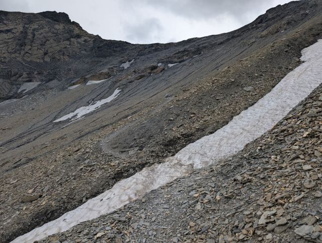
The final ascent up to the pass is very steep and zigzags along a narrow path through loose shale. You have to stay focused here. If you slip, you’ll go straight down the mountainside. On the way up, the rain arrives, of course. It’s impossible to take off the backpack to find rain gear on the narrow path, so it's a few wet and cold minutes before I reach the top of the Col de l'Aup Martin pass (2761 m), the highest point of the stage. The strong wind brings gusts of sand and makes it unpleasant to stay there. I take some photos and hurry on.

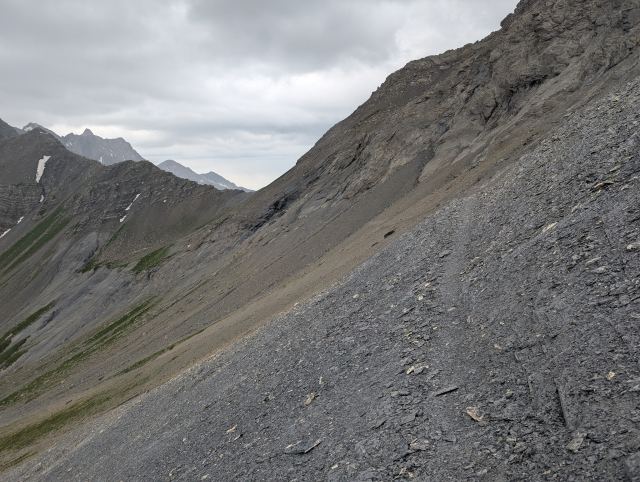
From this pass, the trail traverses a mountainside to a second pass, Pas de la Cavale (2735 m). It's not many degrees above freezing here. It’s raining and windy, and my hands get ice cold from holding the trekking poles. I walk as fast as I can across this traverse to find shelter on the other side of the pass. As soon as I get down the mountainside below the pass, the wind dies down, and it isn't raining here either. That’s good, because a 900-meter steep descent to Refuge du Pré de la Chaumette awaits. I would rather avoid doing this part on wet, slippery rocks.

During the final descent towards the hut, I see that the rain is moving into this valley as well. I check with the staff where I can pitch my tent and hurry out to find a good spot. Just as I put on my pack to leave, it starts raining heavily. I get the tent up quickly, but it was a wet experience.

To save my own food, I ordered dinner and breakfast at the hut. Dinner was served at 7:00 PM and was, as usual here, a three-course meal with something extra. Lentil soup, lasagna, and spice cake were on the menu today. In addition, French cheese and Calvados were served to those who wanted it. I was seated with five young French guys I had been keeping pace with during today's stage. They weren't very eager to speak English, but I still found out that they had hiked the same stages as me and planned to finish the trip in ten days. We’ll probably meet again in the coming days. There was a pleasant atmosphere around the table, despite the language barrier, and the food tasted excellent.

Total distance: 29.6 km
Maximum altitude: 2764 m
Total ascent: 1776 m
Total descent: 1216 m

You can follow me on the trip here: https://share.garmin.com/torgeirmor
📷 View photos in Google Album
07.07.2025

Day 6: Refuge du Pré de la Chaumette to La Chapelle-en-Valgaudemar

⬇ Download GPX file
Tåka henger ned over Chaumette
Men det klarner opp i det jeg starter vandringen.
Oppe på første pass, Col de la Vallette (2674 moh).
Den bratte nedstigningen fra Col de la Vallette er utfordrende for de fleste.
Pass nummer to, Col de Gouiran (2611 moh).
Col de Gouiran (2611 moh).
På tur til det tredje passet, Col de Vallonpierre. Det er et stykke mellom disse to passene.
Stigningen opp til tredje passet
Col de Vallonpierre (2618 moh)
På vei ned til dalen Vallonpierre
Snart framme ved Refuge Vallonpierre
Refuge Vallonpierre
Nesten nede i Séveraisse dalen
Denne dalen virker endeløs Refuge du Clot- Xavier Blanc
Den nedlagte refugen, Rif du Sap
Vannposten i La Berg
Framme i La Chapelle-en-Valgaudemar
It rained a lot last night, and when I wake up to the alarm a little after six, I notice there is a lot of condensation in the tent. Outside, the fog hangs all the way to the ground, and it is freezing cold. The clothes I hung up in the tent haven't dried at all. It will be wet shorts, wet socks, and a wet cap today.

The breakfast I ordered started at half past six, so I strolled down to the refuge as the time approached. I was placed with the same boys as at dinner. They stayed at the refuge and not in a tent, so they were not affected by the night's rain. I felt a little bit jealous 🙂 I didn't want to pack the wet tent together with the other things in the backpack, so I begged for a trash bag from the hosts. I split the tent up and packed the inner tent and the groundsheet in the tent bag, and the outer tent in the trash bag. By nine o'clock, I am packed and ready to start the hike. The fog has now lifted, and the sun is breaking through.

Today's stage is at least as demanding as yesterday's, and I expect to spend at least as much time. It rises steeply basically all the way to the first pass. The others who stayed overnight at the refuge are getting started at about the same time as me. Most are walking in groups or pairs, both in front of and behind me. After 400 meters of ascent, it levels out a bit before rising steeply again. Here, those of us walking first have a close encounter with the notorious shepherd dogs, the patous. They are raised with the sheep and are there to protect against predators. But if you get too close, they can become aggressive toward humans too. Those walking first have all three dogs rushing toward them and have to retreat a bit. The terrain is such that it's not possible to go around, so we just have to wait until the flock of sheep has moved away from the path. However, it doesn't take long before we can continue.

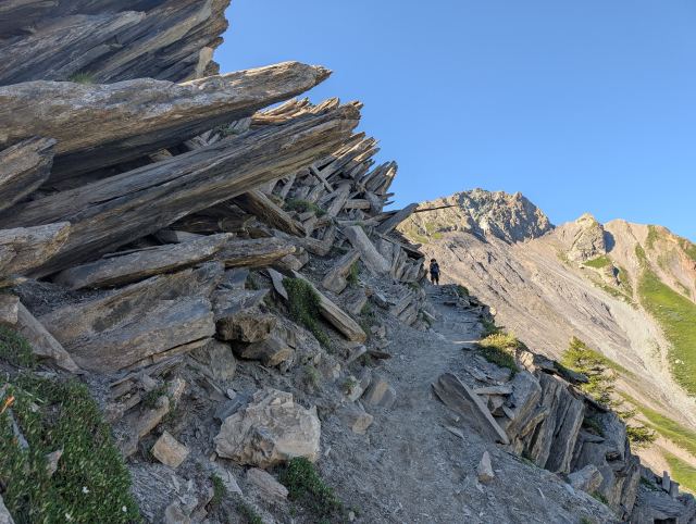
After about two hours, I arrive at the first pass, Col de la Vallette (2674 m). It's quite a tough climb up here, and I walk with small steps to keep my heart rate down. The fog still hangs partially over the pass, and there is a cold wind there. Occasionally it lifts so that you get a view and can see the next pass. It goes down a couple of hundred meters and up again almost as much to the next pass. The descent on the other side is very steep with black shale and sand that is difficult to walk in. The path is also very narrow, so it's difficult for people meeting to pass. It ends with one person leaning against the mountainside while the other passes.

It takes about 30 minutes to cross the valley and climb up to the next pass, Col de Gouiran (2611 m). Now the sun has come out properly and is warming the skin well. I realize I've forgotten to put on sunscreen, so I open the top pocket to find it. Then I discover it's gone. It must have fallen out when I ate biscuits earlier. Sun protection is important, especially here at high altitudes where the sun is strong. I ask some of the others at the pass if I can have some. One of the boys I ate breakfast with gives me his, but he had so little that I only rubbed it on my face so as not to empty the bottle.

The next pass is a bit further away, but you can glimpse the ascent and people standing at the top. It looks long and heavy from a distance, but isn't so bad when you start the climb. An hour later, I arrive at Col de Vallonpierre (2618 m).

From now on, it's almost only descent to the destination, the village of La Chapelle-en-Valgaudémar (1100 m). It's about 400 meters down to the bottom of the Vallonpierre valley, where it levels out. You then follow the valley for a few kilometers before reaching Refuge de Vallonpierre, which is beautifully situated by a small lake. I stop here and eat a delicious blueberry tart before moving on. From here, the descent continues steeply down in hairpin turns, which I have now become accustomed to. After another 900 meters of descent, I arrive at the bottom of the valley by the Séveraisse river. I will follow the river in this valley for 11 km all the way to today's destination. The terrain here is flat, but the path is partially rocky and heavy to walk. Down here it's also hot, even though the dense forest shades the sun. This becomes an exhausting part of the stage, but after a couple of hours, I'm finally there.

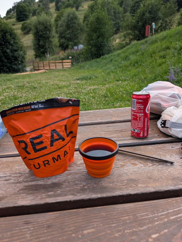
In La Chapelle-en-Valgaudémar, I find the campsite and set up my tent before buying food and sunscreen in the shop nearby. There is a restaurant at the campsite, but it's Real Turmat for dinner for me today.

The weather forecast for tomorrow isn't particularly good. The temperature in the valley will be around 13–14 degrees, with a possibility of rain. That means it will be cold at high altitude. It will probably be another demanding stage tomorrow, and the descent is starting to take its toll on my legs. I am therefore considering taking a rest day here where there are some facilities. I'll have to see, considering both the weather and my condition.

Total distance: 27 km
Maximum altitude: 2667 m
Total ascent: 1308 m
Total descent: 2053 m
You can follow me on the trip here: https://share.garmin.com/torgeirmork
📷 View photos in Google Album
08.07.2025

Day 7: Rest day in Chapelle-en-Valgaudémar

I woke up as usual to my alarm, which was set for quarter past six. It was chilly, and the rain drummed against the tent fabric. The shorts hanging from the tent ceiling were still damp. I crawled out of my sleeping bag and started packing my gear and getting ready for departure. For breakfast, I had a baguette with salchichón sausage. I bought the sausage on the first day in Le Bourg-d’Oisans, but it is still keeping well. With the baguette in hand, I went out to check the weather.

It was still raining, and the clouds and fog lay thick in the valley. I didn't feel the slightest desire to hike in the mountains in this weather. According to the weather app Meteoblue, the weather is supposed to improve from the afternoon onwards. Additionally, good weather and higher temperatures are forecast for the next few days. Perfect!

My body feels okay, but my knees are battered after all the descents of the last few days. Although I don't have any pain or notice any discomfort when I walk, I think it’s fine for them to get a break today. So today will be a rest day here in Chapelle-en-Valgaudémar.

Most of the day is spent relaxing in the tent. The tent pitch is right on the edge of the campsite, near the river, so I get some peace from the others staying at the camp. Plus, I have the sleep-inducing sound of the river rushing nearby. There were a few hours of sleep during the day. 🙂

When I boil some water later in the day, I notice the reason why there are so many ants inside the tent. Right next to the stove, there is clearly an anthill. When I tap the ground there, they swarm out. A little hot water makes them calm down. 😄

When the weather improved later in the day, I took my daypack and walked to the town center. It takes four minutes. 🙂 This is a tiny place with just over a hundred permanent residents. Still, I counted no fewer than three hotels, three campsites, three restaurants, a sports shop, a grocery store, and a large church. It is clearly a popular place for summer activities, as there are no ski resorts nearby.

I stopped at one of the restaurants and ordered the daily special and a glass of soda. The meal had a name, but I have no idea what it was, so I let it be a surprise. It turned out to be a stew with couscous and chicken. It was okay, nothing more. On the way back to camp, I stopped by the store and bought a couple of bags of freeze-dried food, a baguette, and some snacks.

A new group of hikers has now arrived at the campsite, having finished their day's stage. They are wandering around trying to figure out where things are, just like I did when I arrived. I take my snacks and sit in the lounge chair placed on a hill behind my tent. From here, I have a view down to the river and can watch those rafting down it. It’s clearly popular, as I see many boats rushing past. It was quite entertaining when one boat got stuck on a shallow spot and blocked those coming after. 😄

Tomorrow I’m heading out again, and the plan is to get to the cabin in Désert-en-Valjouffrey. I don't think there is mobile coverage in this area, so it might be a while until the next update.

You can follow me live via satellite at:
https://share.garmin.com/torgeirmork
📷 View photos in Google Album
09.07.2025

Day 8: La Chapelle-en-Valgaudemar to Le Désert-en-Valjouffrey

⬇ Download GPX file
Etter å ha fulgt elven Séveraisse noen kilometer kommer man til Villar Loubière. Møllemuseet i Villar Loubière Løypen følger dalen fra Villar Loubière opp til Refuge des Souffles Fra Refuge des Souffles går stien bra opp mot  Col de la Vaurze. Frodig område med mye ulike planter og blomster.  Col de la Vaurze (2508 moh)
Bratt nedstigning fra passet skapte problemer for enkelte. Fant en del blåbær på stien ned til Le Désert-en-Valjouffrey Bare restene igjen av raviolien jeg bestilte i landsbyen. Teltplass på sandfyllingen ved siden av elven. Teltstenger til besvær Det er mye som kan fikses med leukotape.
I felt that the rest day did me good. My body isn't as sore as it usually is when I wake up, and I feel that my motivation is better. I had set my alarm for six o'clock to get an early start. After a quick breakfast, I pack up my gear and tent, and I’m ready to set off at seven o'clock.

The shop has just opened, so I stop by and buy some hiking snacks before continuing the trek. It's bitingly cold outside now, with only five degrees on the thermometer outside the shop. But fortunately, it’s calm, with blue skies and sun. My fingers are getting ice cold anyway from holding the poles, and now I regret sending my gloves home.

The trail continues down the valley along the Séveraisse river. The walk goes partly on a cart track, but occasionally also along the main road in the valley. I walk fast to get some warmth in me. There is still a lot of shade since the sun is low in the sky, and I never get completely warm – not until I get a good way up the mountain.

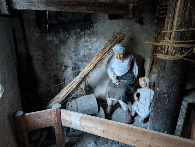
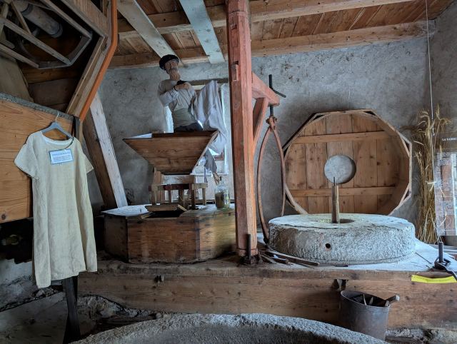
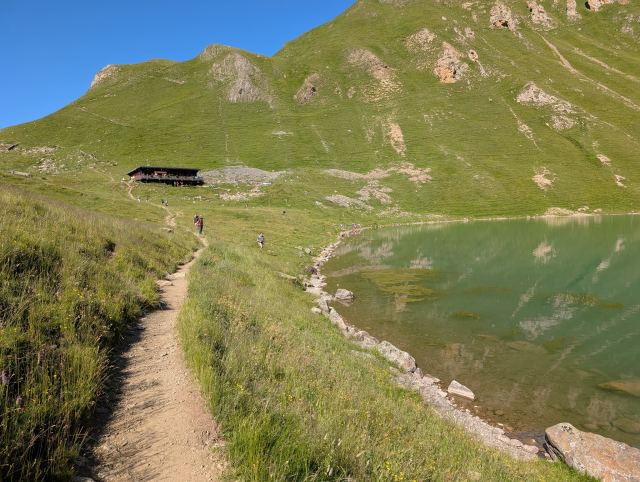
After five kilometers, I reach the village of Villar Loubière. There is a well-preserved mill here that I stop by. Mannequins have been placed there to make it a bit more lifelike. Fun.

From Villar Loubière, the trail now goes steeply up into the forest behind the village. After climbing 800 meters, I pass the Refuge des Souffles hut. From here, the trail traverses along the mountainside before being followed by another steep and long climb up to Col de la Vaurze (2508 m above sea level). This is the highest point of the day.

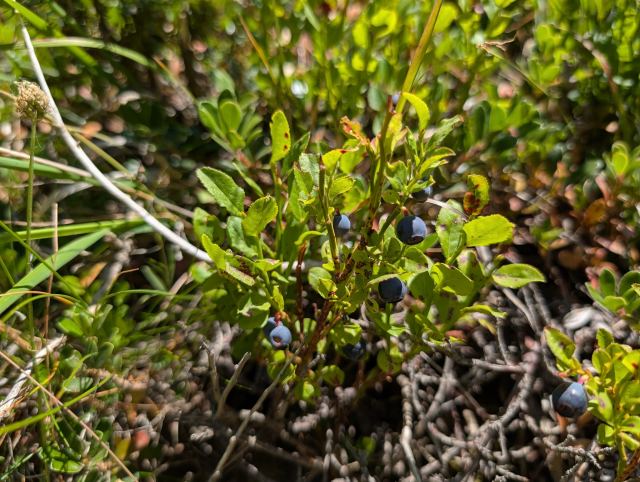
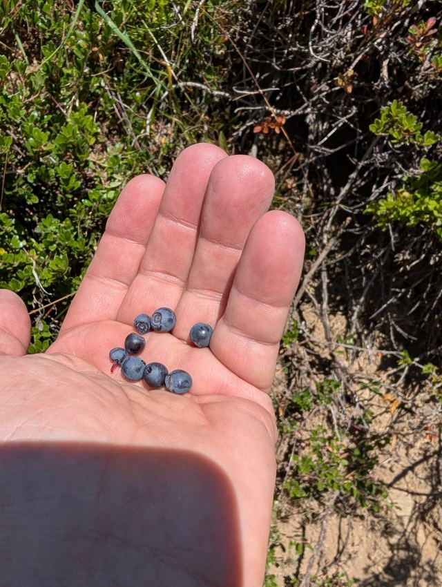
Coming down from the pass on the other side, it is even steeper, and it's hard to maintain much of a pace. The trail goes in switchbacks all the way down to the village of Le Désert-en-Valjouffrey, which is located right below the pass. It is gravelly, and it feels like your feet might slip away as you walk. The trail also partially runs along the edge of steep cliffs, so there isn't much room for error here. Halfway down, I came across a brood of ptarmigans with six or seven chicks. They ran in all directions while the mother pretended to be injured in front of me. I tried to find some of the chicks, but they were well hidden. I also found a fair amount of blueberries, which I helped myself to.

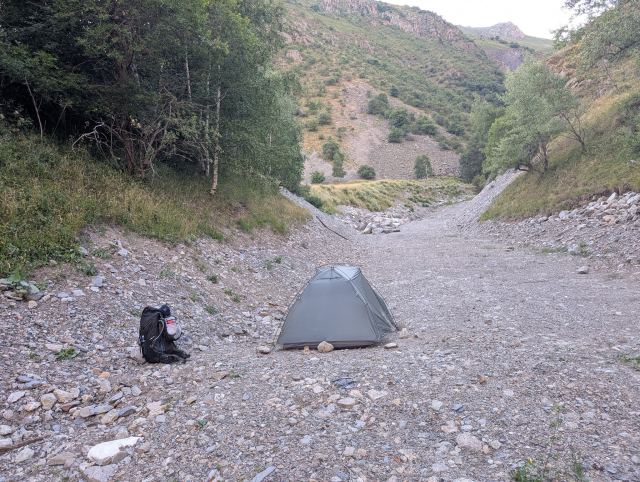
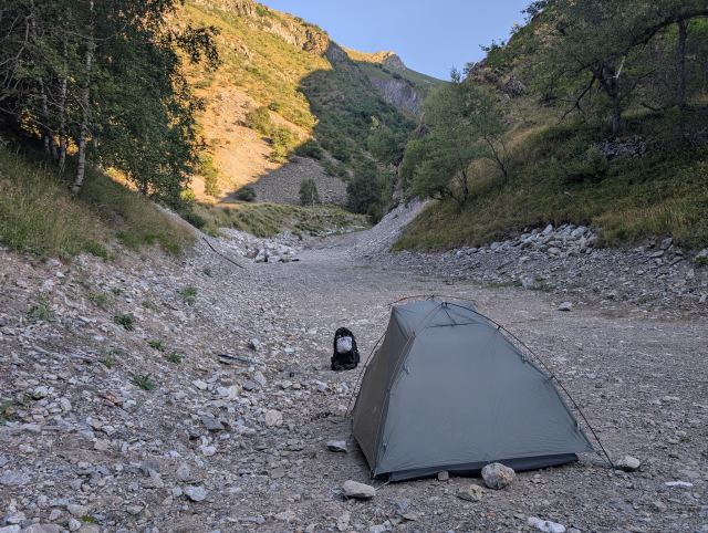
After countless switchbacks and a 1200-meter descent, I finally reach the village. There are a couple of restaurants here, and I order ravioli at one of them. After devouring it, I take my pack and try to find a suitable campsite. There is no refuge or campsite here, so you have to wild camp. There aren't many suitable flat areas, so I end up on a sand embankment next to the river.

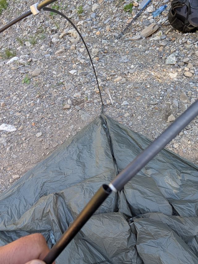
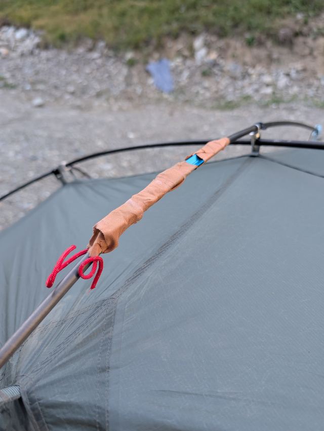
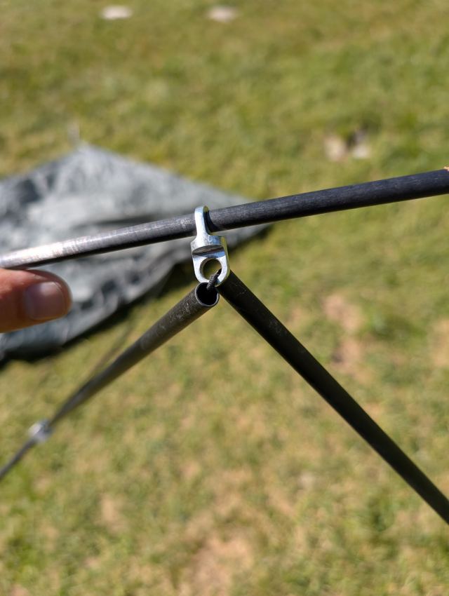
When I’m about to connect the tent poles, I discover that the inner tube has disappeared into one of the poles. The worst part is that this is for the crossbar for the roof. I can't manage to get the inner tube out, so I splint it with a tent peg and Leukotape. Hope it holds for this trip.

Tomorrow an even tougher day awaits with two passes to be crossed. Both have steep climbs of over 1000 meters. I'm dreading it.

Total distance: 24 km
Maximum altitude: 2508 m
Total ascent: 1823 m
Total descent: 1555 m
You can follow me live on the trip here: https://share.garmin.com/torgeirmork
📷 View photos in Google Album
10.07.2025

Day 9: Le Désert-en-Valjouffrey to Refuge de la Muzelle

⬇ Download GPX file
Teltplassen i Désert-en-Valjouffrey. Får et uventet besøk når jeg pakker teltet. I følge Google er dette en Pyrineisk mastiff.
Stien starter ganske slakt gjennom skogen. Nærmer meg Col de Côte Belle. Nydelige gresskledde åsrygger her.
Col de Côte Belle (2314 moh)
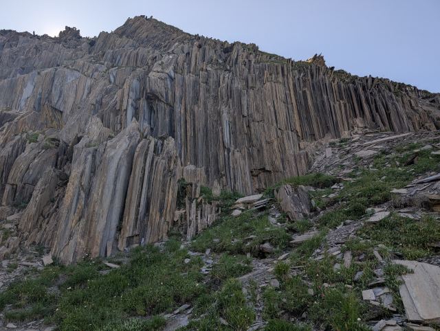
Profilen på fjellet i bakgrunnen har et ansiktslignende trekk. Kanskje det er den sovende konge? Spesielle skiferformasjoner Grei sti ned til dalbunnen
Utsikt mot passet jeg skal opp til på andre siden, Col de la Muzelle.
Den bratte stigningen starter med en gang.
Det blir bare brattere og brattere nå. I elveleiet til høyre i bildet fanget jeg vann 😄
Tok et bilde ned det bratteste partiet på en av mine etterhvert hyppige pustepauser
Endelig oppe på Col de la Muzelle (2632 moh).
Utsikten ned mot Lac de la Muzelle
Masse plass for å slå opp telt her. Nok et problem med teltstenga
På vei til Refuge de la Muzelle for å handle brus
Hyggelig lag med gutta fra Belgia. De serverte chorizopølse, ost og baguett.
Middag i teltet
I slept well last night and couldn't quite manage to wake up when the alarm rang at six. It was seven o'clock before I got started with my morning routine. The temperature outside is noticeably higher today than yesterday, and the sun hits the tent while I'm eating breakfast. It’s going to be good weather today as well.

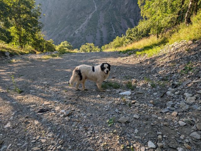
While I'm packing up the tent, a large dog suddenly emerges from the woods. It looks like a mastiff of some kind, the type they use for sheep herding here. It looks dirty and unkempt, and drool is hanging from its mouth. It has a strange behavior and circles me several times while I talk to it. It flinches away when I turn abruptly. I’m unsure what to do if it becomes aggressive. I pretend nothing is wrong, continue packing the tent, and ignore it. When I'm finished packing and ready to go, it disappears into the forest. Fortunately! It’s eight o'clock by the time I start walking.

On today's stage, I’m going over two passes; both involve a 1,000-meter ascent. The last one is supposedly the toughest on the entire GR54. It’s nice that I’ll have softened up my legs with an 800-meter descent first 😆.

Le Désert-en-Valjouffrey is located at an altitude of 1,300 meters, and from where I camped, the trail starts with a steep climb. I enter the trail at the same time as many other hikers, and we walk in a queue at the start. The trail follows the mountainside as it rises in switchbacks through the forest. We are on the shady side of the valley, and the temperature is pleasant for walking.

After an hour, I'm above the tree line and get a view of the surrounding mountains and my destination, which lies a few switchbacks further up. After another hour, I am up on the pass, Col de Côte Belle (2314 m above sea level). I have walked up the entire ascent without a break, and it hasn't even been tough. When I do such climbs, I follow a simple rule: keep the heart rate in or below the comfort zone. If I can hear my own heartbeat, I’m going too fast, and the pace must be lowered. If I follow this, I can keep going for a long time. I take a fifteen-minute break here before starting the descent.

On the way down from the pass, the trail is perfectly graded, and the ground is hard and easy to walk on. I also notice that it saves the knees from heavy strain. Shortly after the pass, I pass some very special shale formations in the mountain. One can wonder what creates such formations. Further down the valley, I find both wild strawberries and blueberries along the path, which I pick and eat as I go. It takes an hour and a half before I am down in the valley floor and the hamlet of Valsenestre.

I take a short break here and have some snacks and a piece of a baguette. A river flows down the valley, and I had planned to fill my bottles here, but when I see all the sheep droppings in the river, I change my mind. Two water sources are marked on the map on the way up to the next pass, so I decide to fill up there instead.

The climb up to the next pass starts brutally. It is so steep that your thighs never get a rest. The fact that the sun is now at its hottest doesn't make it any easier. The first 500 meters of ascent go diagonally up the mountainside without switchbacks. After another 200 meters of even steeper climbing, my body is totally exhausted. Furthermore, I am about to run out of water. Both water sources marked on the map were dried up. The remaining 300 meters of the climb are almost vertical and are going to be killingly tough. I decide to take a longer lunch break before tackling it.

There is a riverbed next to where I am sitting, but it looks dried up as well. However, I can occasionally hear the sound of trickling water from there. I take my water filter and bottles down to check. Sure enough, there is water flowing there. Fresh and cold water. Perfect, then I can fill the bottles before I start on the "monster hill."

After a half-hour break, I feel ready to attempt the last part of the climb. I start slowly and try to keep my heart rate low, but my thighs become heavy as lead after a short time. I have to take breaks more and more often. To maintain progress, I count every turn I pass. It’s not fast, but eventually, I finally make it up to the pass. I counted fifty switchbacks before I stood on Col de la Muzelle (2632 m above sea level). Without a doubt, some of the toughest work I’ve ever done.

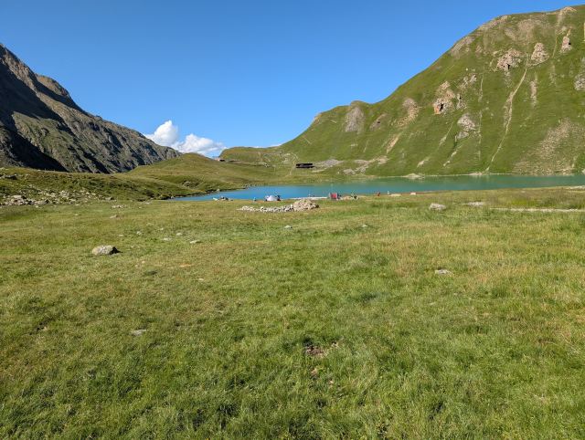
From the pass and down on the other side, I see today's goal, the lake Lac de la Muzelle (2110 m above sea level). The hut Refuge de la Muzelle is also located here. You can camp on the opposite side of the lake from where the hut is. When I get down to the water, I find a nice tent spot a bit away from where most people have gathered. As I was setting up the tent, I discovered that another inner tube had disappeared into the joint that runs along the length of the roof. It’s impossible to set up the tent without this. I am annoyed that such a relatively new tent should have such flaws. If the weather had been bad, it could have quickly become critical if you couldn't get shelter because of this. Oh well, out come the tent peg and leukotape again. Durston will get feedback about this flaw, and knowing them, they’ll send me new tent poles.

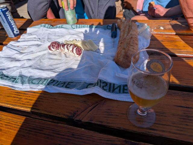
Once the tent is set up, I walk over to the refuge to buy a soda. I also buy myself a blueberry tart and a beer, and sit down at one of the tables to eat. There are four others at the table, and we strike up a conversation. It turns out they are from Belgium and are staying in a cabin they have rented nearby. It’s pleasant to sit there talking to them, and the one beer turns into three before I head back to the tent and make dinner.

Today's stage has definitely been the toughest on the entire GR54. Tomorrow I finish the trip and will then be back in Bourg d'Oisans, where I started the trip eight days ago. The stage is over 20 km long and begins with a 400-meter ascent, followed by a full 1,600-meter descent. It will be a demanding day, this one too.

Total distance: 17.2 km
Maximum altitude: 2632 m above sea level
Total ascent: 2083 m
Total descent: 1342 m
You can follow my trip here: https://share.garmin.com/torgeirmork
📷 View photos in Google Album
11.07.2025

Day 10: Lac de la Muzelle to Le Bourg d'Oisans

⬇ Download GPX file
Venter på at teltet skal tørke. I bakgrunnen kan man se passet som skal bestiges i starten av etappen. Nydelig morgenstemning ved Lac de la Muzelle
Nærmer meg toppen og ser ned mot Lac de la Muzelle
Col du Vallon (2546 moh).
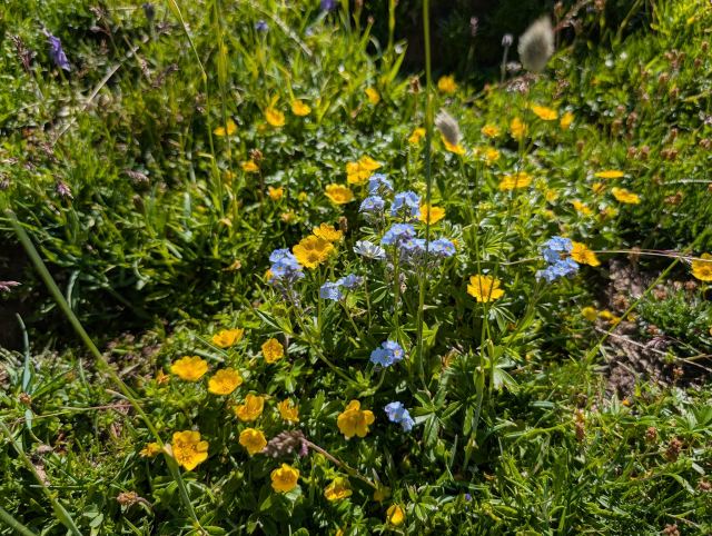
Alpeforglemmegei og fjellsmørblomst
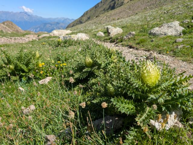
Det er en del slike planter langs stien - Piggtistel
Langt der nede ligger Lac Lauvitel
Hummelo Stranden på Lac Lauvitel
Nærmer meg målet. Tilbake i Le Bourg d'Osains igjen. Turen er fullført!🥳🍻
Today there is no rush to get an early start, so I had set the alarm for seven o'clock. It is cold, and I lie still for a while before getting out of my sleeping bag. The temperature is no more than 5 degrees on the sensor attached to my pack inside the tent. There is a lot of condensation on the inside of the tent, and I see that I forgot to open the air vents before I went to bed.
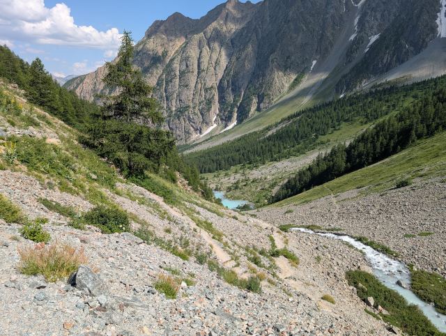
Outside, the sun has now crept over the mountains and is hitting the mountainside on the opposite side of the valley. The tent fly is wet on the outside too, so the humidity must have been high last night. I want to dry the tent before packing it down for the last time. It will take a while before the sun hits the tent, so I eat breakfast and pack my gear while I wait. It is ten o'clock before I am ready to leave. There are only a few tents left on the plain now.
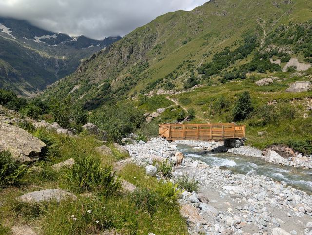
Today's stage also begins with a steep climb. The sun is strong now, and the temperature is 25 degrees. To be fair, it’s only a 400-meter climb today, but it’s still heavy going in this heat. The trail zigzags up the steep mountainside; initially, it’s a gentle slope, but towards the end, it becomes very steep. My legs are still affected by yesterday's stage, and it gets very heavy toward the end of the climb. After a little over an hour, I reach the top of the pass, Col du Vallon (2,546 m above sea level).

I take a short break here before continuing down the other side of the pass. Today's goal, Le Bourg-d'Oisans, is at an altitude of 720 meters. That means I have about 1,800 meters of descent ahead of me. First, I’m heading down to the lake Lac Lauvitel, which sits at 1,500 meters.

The first part of this descent follows a path that is easy to walk on. Gradually it becomes rockier, steeper, and in some places very exposed. Safety cables have been installed in the most exposed sections. For the first time on this trip, I lose my balance and fall on the rocky path, knees first. I barely manage to catch myself with my hands so that the rest of my body doesn't hit the ground as well. I end up with some nasty scrapes on my shins, and my left knee, which took the hardest hit, is aching.

As I continue the hike, I still feel pain in this knee, so I try to use my poles to offset the strain. This causes my pace to drop considerably. Eventually, I can see the lake, which is my next milestone, far below me. Further down the valley, I can also see Le Bourg-d'Oisans. It’s quite a way down there, and I realize this is going to take time.

On the way down, I meet people heading up to Lac du Muzelle. Everyone I talk to asks the same thing: how much further it is, and if there are water sources further up. They have had a tough climb in the heat. It gets significantly warmer the further down I go, so I fill my water bottles every chance I get.

It takes two and a half hours from the pass before I finally arrive at Lac Lauvitel. The lake is a popular destination, and there are many people here swimming and sunbathing. It is beautiful here with the turquoise water squeezed between the steep mountains. Where the trail reaches the water, there is also a great sandy beach. I would have loved to jump into the cool water myself, but I settle for wading in up to my knees. There is a short break before I must move on.

The trail now continues down through dense forest and in the kind of switchbacks I have become so accustomed to. The best thing about this part is being shielded from the sun, and the air is cooler here. I meet a lot of people on this section; most are on day trips to the lake, but there are also some GR54 hikers going in the opposite direction. They can be glad they don't know what lies ahead of them.

After another 500 meters of descent, I emerge from the forest at the hamlet of La Danchère. Here I find a water fountain where I take a break. I had two cans of soda in my pack when I started today. I drank one at the pass, and I had saved the other for when I finished the descent. It was, of course, quite warm by now, so I placed it in the water fountain while I ate. It had managed to get nice and cold by the time I drank it 15 minutes later.

There are now 200 meters of descent left to Le Bourg-d'Oisans. These are spread over the remaining 10 kilometers of the stage, so they are barely noticeable. From here, the route follows a road all the way to the finish. On the way out of the hamlet, I meet Thomas, a German I have run into several times over the last few days. We walk together down the valley and talk, of course, about what we have experienced on this trip. It strikes me how similarly we think, those of us who hike this trail. Nowadays, ideas and inspiration are mostly drawn from the same sources as well: Andrew McCluggage's book, the same Facebook groups, and YouTube channels. Perhaps it's not so strange after all. We part ways at the pond Étang du Buclet, where Thomas plans to camp tonight. I continue the remaining three kilometers to Le Bourg-d'Oisans.

A little before six o'clock, I arrive in Le Bourg-d'Oisans and can proudly acknowledge that I have completed the Grand Tour des Écrins – the trek around the Écrins mountain massif!

Total distance: 21.6 km
Maximum altitude: 2,546 m
Total ascent: 594 m
Total descent: 1,982 m

The fact that it was a few days earlier than planned, so be it. I have a Fullflex ticket with Norwegian from Geneva on the 14th, but the flights are full in the days leading up to it, so I can't move my journey forward. Instead of staying here in Le Bourg-d'Oisans, where there are limited things to do, I choose instead to find a hotel in Grenoble to explore the city instead. It will also be less stressful to get to the airport from there. I just catch the last bus to Grenoble and book a hotel for the next few days while sitting on the bus.

This has not been an easy journey, I can attest to that. The start was very tough, and there was a period where I wasn't sure if I would be able to complete the trip. It helped to get rid of a few kilograms in La Grave. The stage after that was also somewhat easier than the previous ones and gave me my confidence back. I think this stage was also the most beautiful of them all. It was truly beautiful heading down toward Le Monêtier-les-Bains.

Almost all the stages have started with steep climbs up to a pass, and often ended with demanding descents. Several of the passes have been technically challenging – and with snow, some of them would have been downright dangerous, even with crampons.

In total, I have walked 216.6 km and climbed 13,155 meters. If I were to do the trip again, I would change two things: have a significantly lighter pack (under 10 kg) and go in the autumn when it is cooler.

The trip is completed, and I can say I did it with style. I have mostly followed my plan and only made a few adjustments along the way where necessary. I am left with a fantastic sense of accomplishment and many unforgettable experiences.
📷 View photos in Google Album