28.06.2023
Day 11: Refuge de Bellachat
⬇ Download GPX file
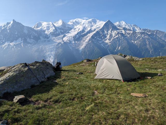
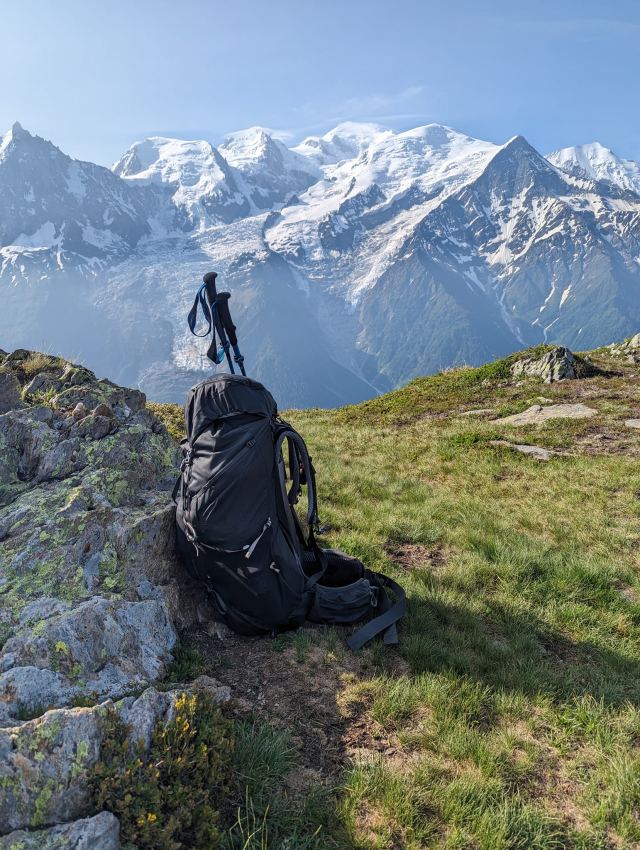
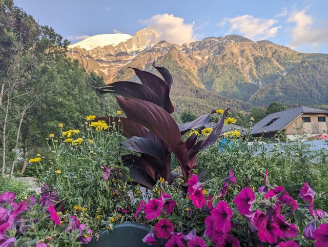
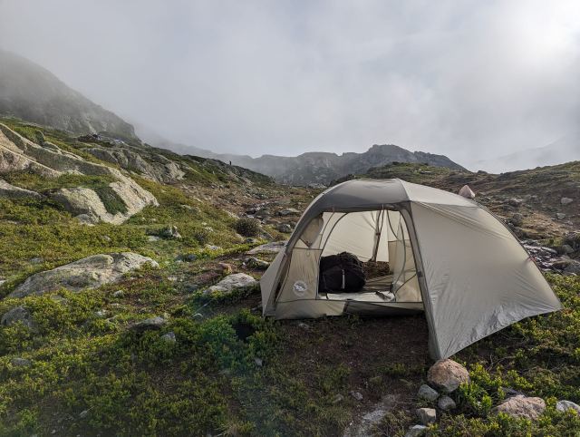
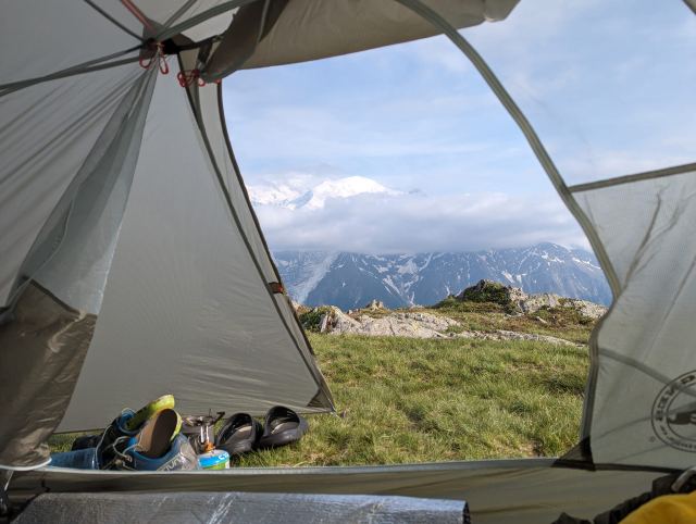
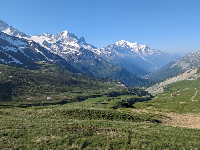
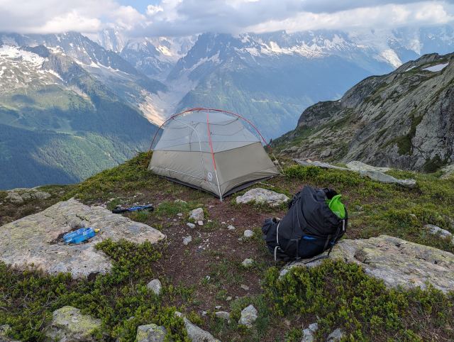
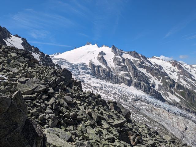
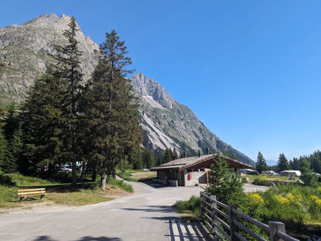
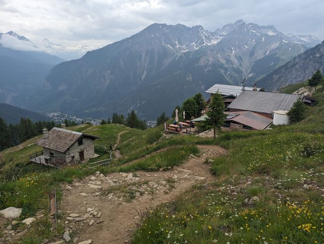
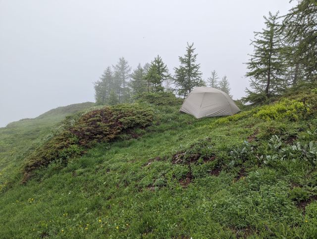
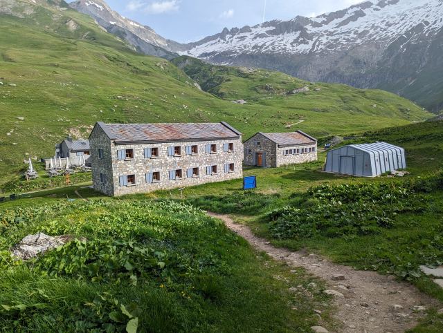
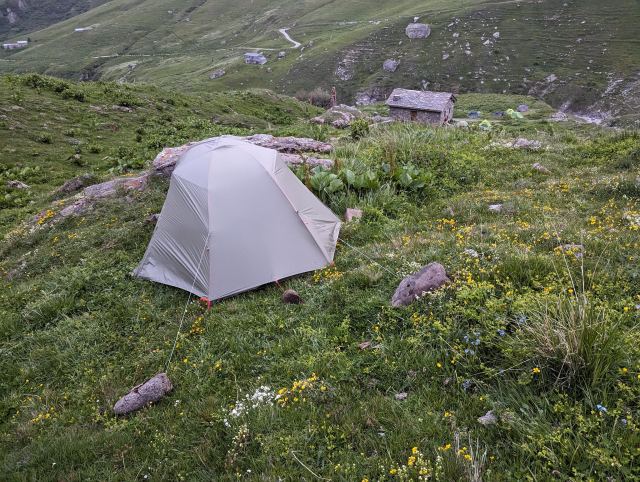
Today was the last day on the TMB. Since I completed the final climb yesterday, I only had the descent to Les Houches left today – essentially just the victory lap. The campsite where I stayed last night had a beautiful view of Mont Blanc. It was located quite high and exposed on the mountain, at an altitude of about 2200 meters, but the forecast did not predict bad weather, so I felt safe. I have been using the Meteoblue app to check the weather down here, and it has proven to be surprisingly accurate every day.
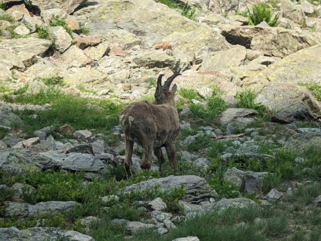
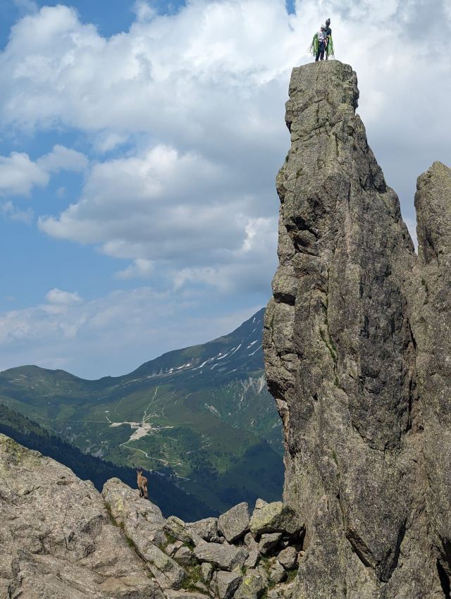
During the night, there were several ibex around the tent. At first, I thought it was people, but eventually, I heard it was animals eating grass. I got this confirmed a bit later in the night when I had to step out for an errand and almost walked straight into one. I don’t know which of us was more startled 😄 There were several wild goats grazing in the area. Outside, it was starry and very cold. I checked the temperature on the sensor; it showed zero degrees! I had to put on my Aclima base layer to get warm again in my sleeping bag.
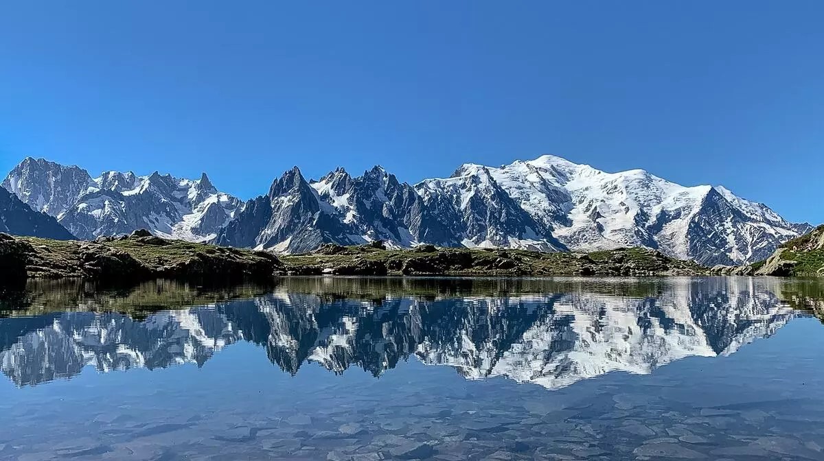
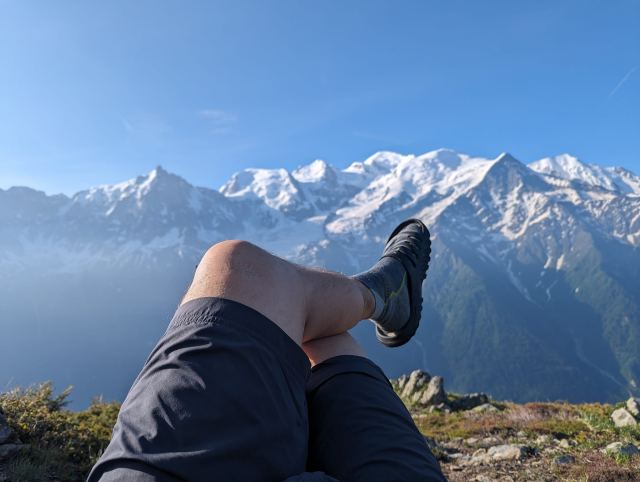
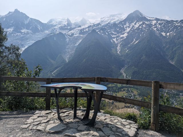
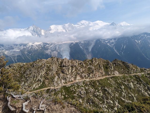
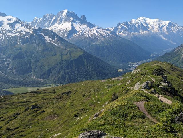
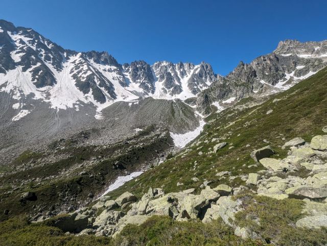
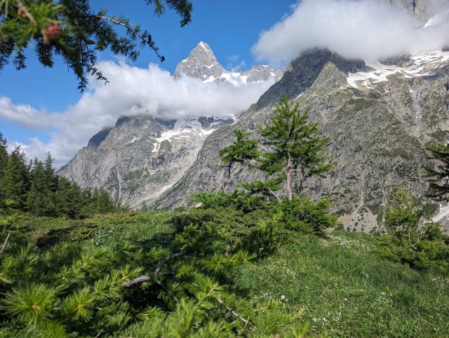
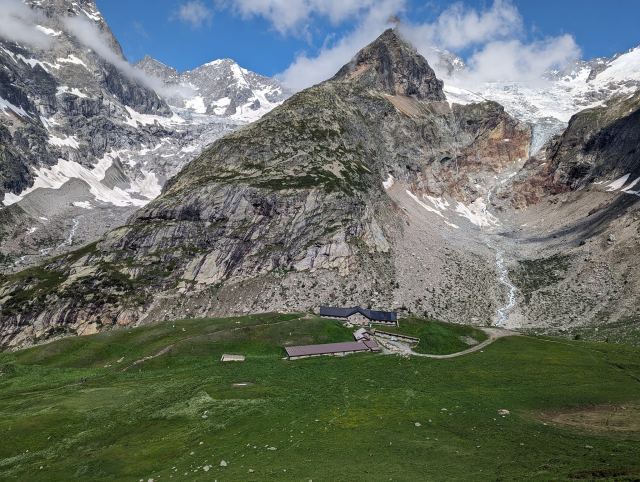
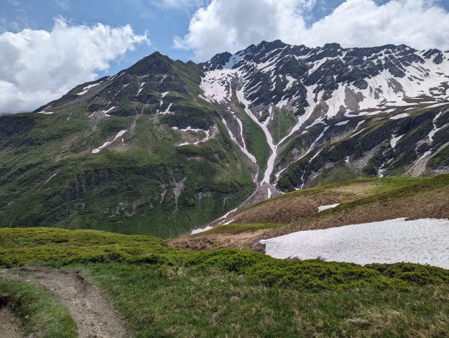
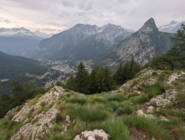
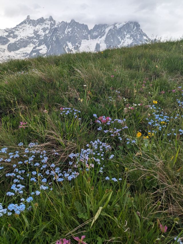
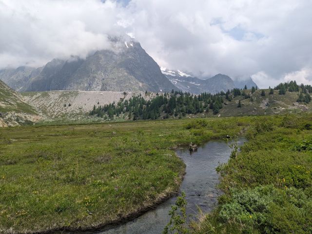
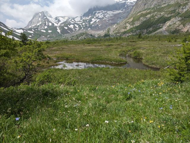
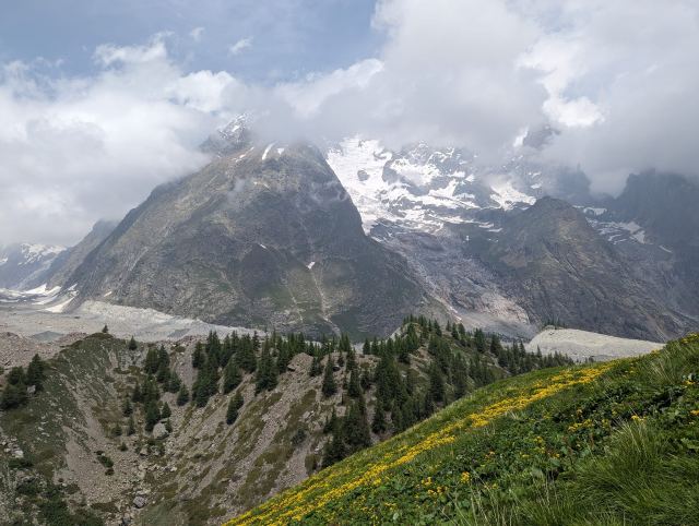
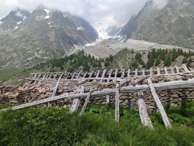
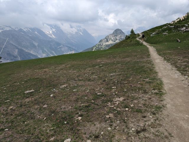
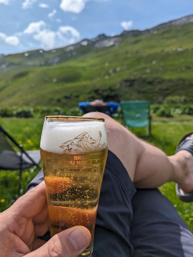
A little after seven, I woke up to the sun warming the tent. I wasn't in a hurry today, and after breakfast was finished, I sat outside on a pad and enjoyed the sunrise while admiring the impressive mountain massif on the other side of the valley. Rockfalls and avalanches occur frequently higher up in the mountains due to the snowmelt, and I have heard the rumbling from this throughout the night.
Since it was the last night in the tent, I let it stay pitched until all the moisture had dried in the sun. That way, I won't have to hang it up when I get home. Activity is picking up in the campsite at Bellachat now, and several groups are already on their way up to Brévent.
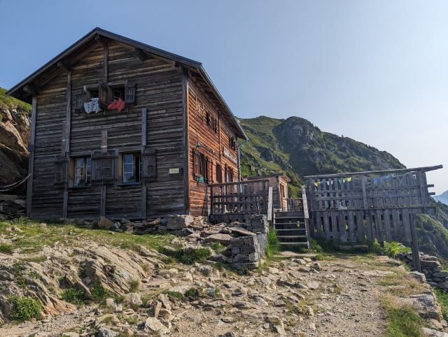
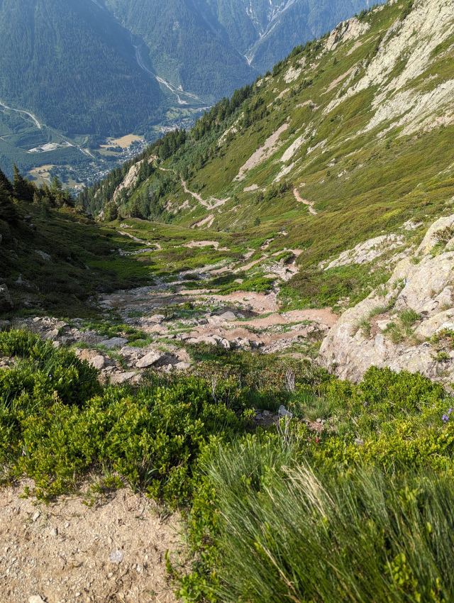
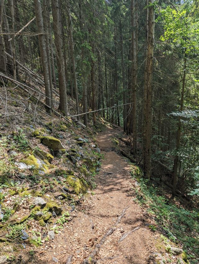
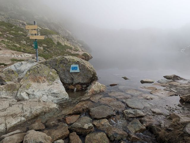
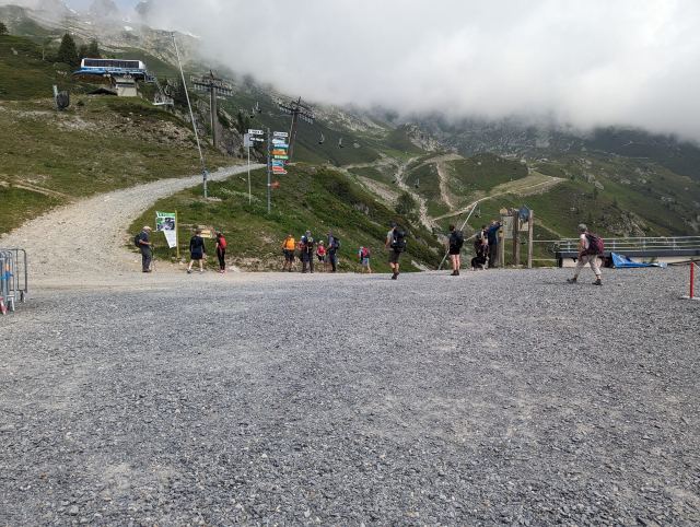
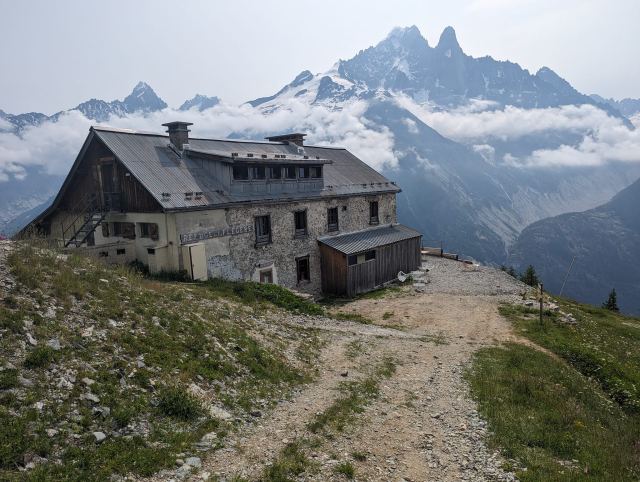
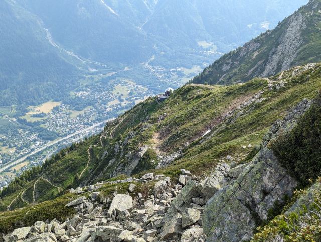
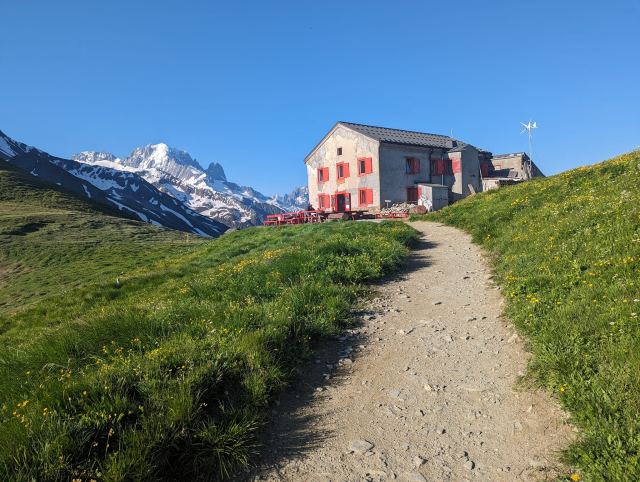
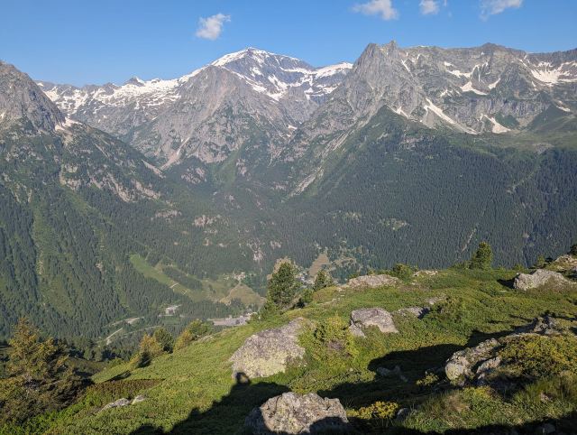
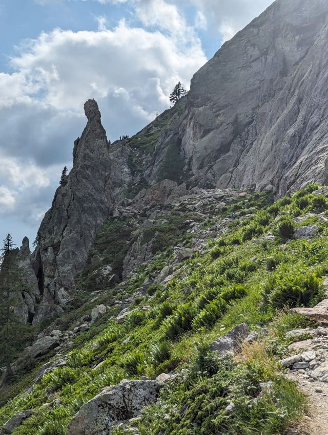
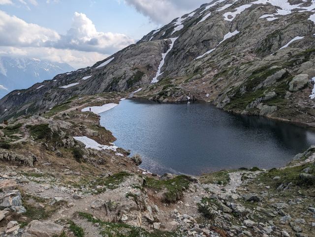
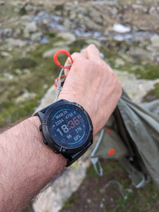
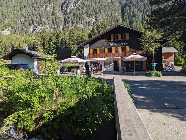
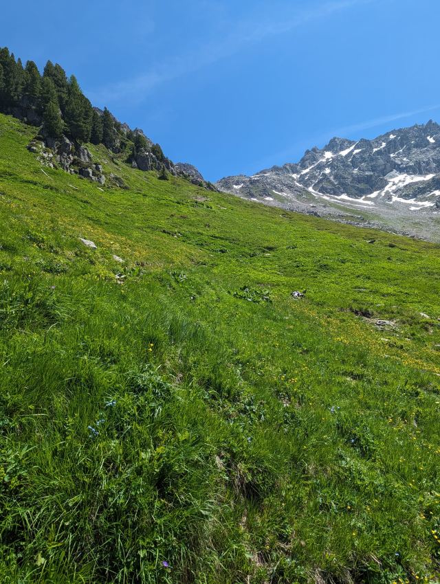
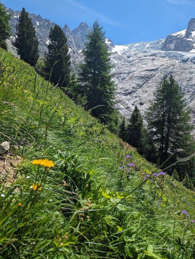
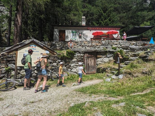
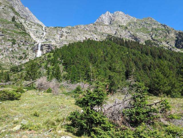
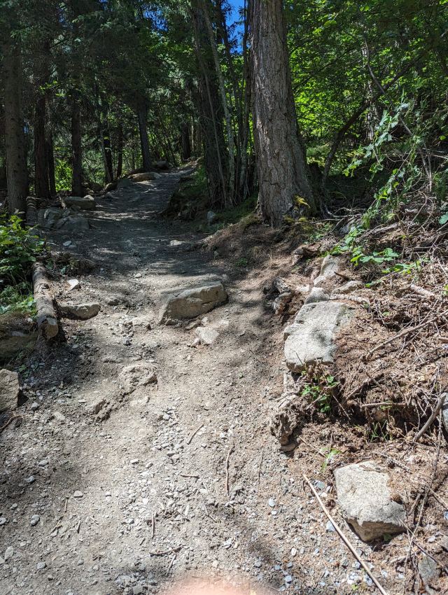
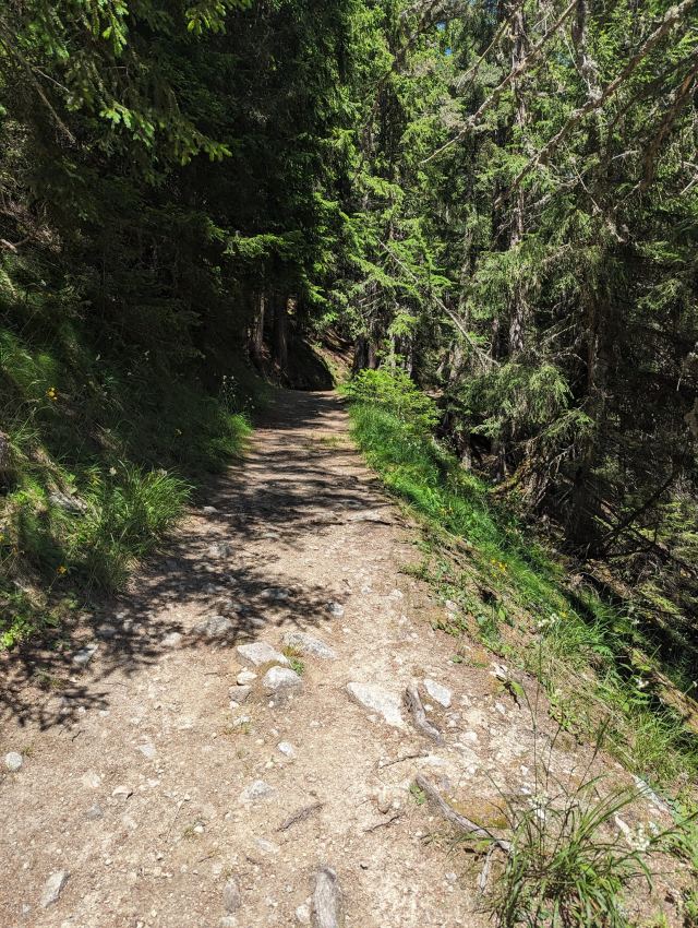
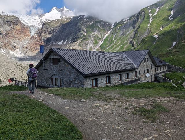
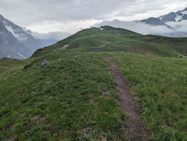
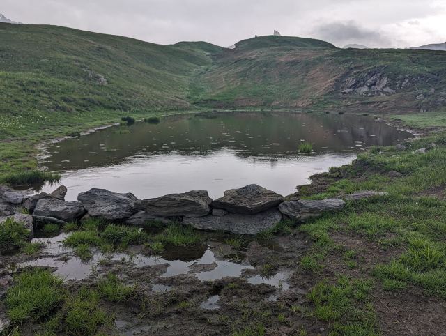
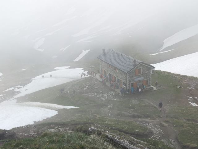
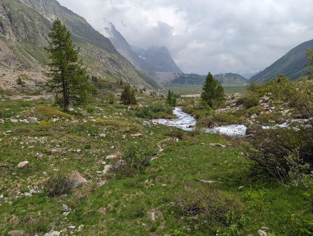
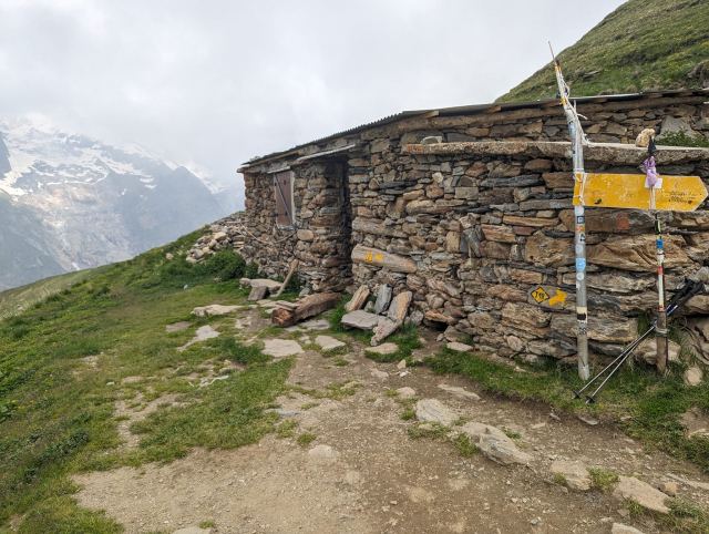
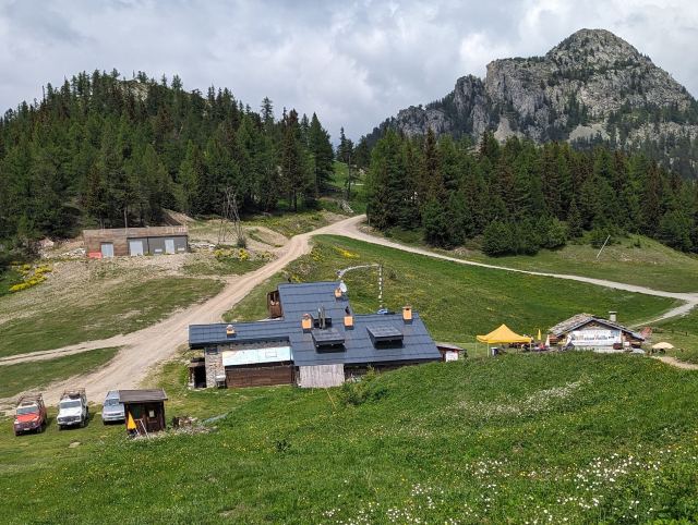
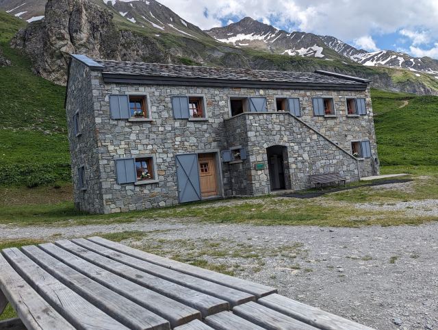
At quarter past nine, I was ready to tackle the final part of the TMB. This is a long descent that mostly goes through dense spruce forest, and I estimate it will take about two hours to walk down to Les Houches. I stopped by Bellachat to fill up on water, but they don't have tap water there; however, I could buy bottled water. It’s not that far to the next water source, so I declined the offer. Half a kilometer further down, I passed a small stream where I filled both bottles. I used the water filter here, as I know the water comes from marshy areas where animals roam.
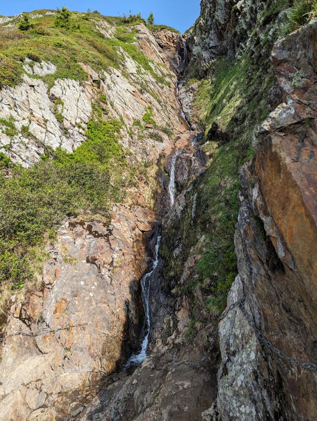
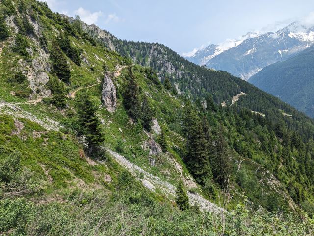
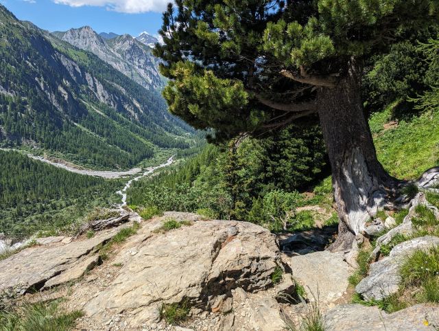
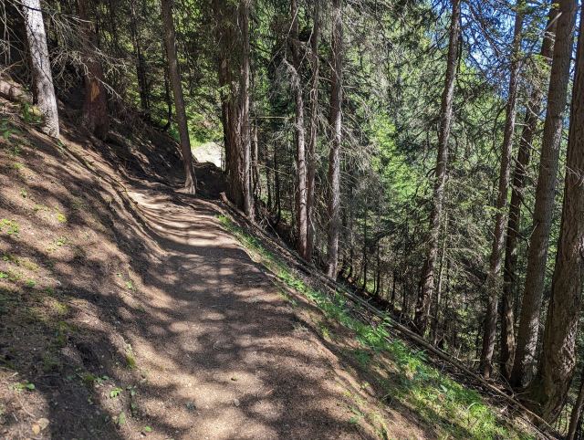
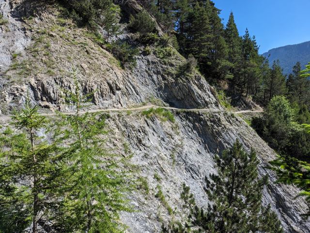
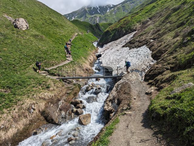
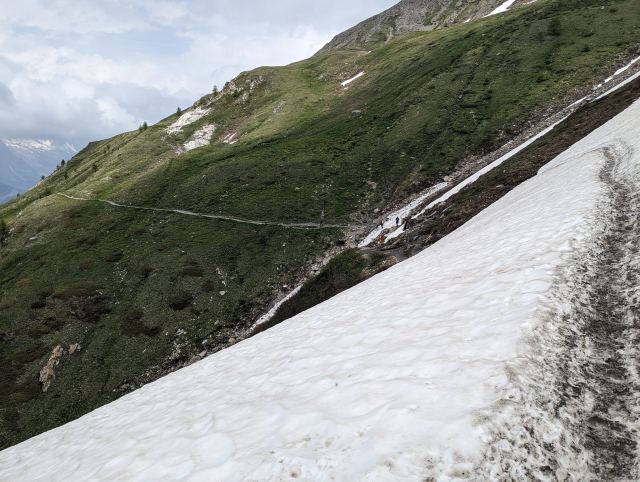
Halfway down through the forest, an elderly man was lying on the path, and what I assume were his wife and daughter were trying to help him up. They were on their way up to Bellachat when he experienced a drop in blood pressure and fainted. He was lying on the edge of the path, close to falling a few meters down to the trail that continued below. The daughter tried to push him further in from the side, while the wife stood on the other side pulling his right arm, but he was too heavy to move. I tried to help by grabbing his left arm, but then the wife shouted that I mustn't pull it. He had a fracture in his left arm and was wearing it in a sling. In the heat of the moment, I hadn't noticed. The man himself was dazed and had trouble speaking, but was clearly in pain when we moved him. We eventually managed to stabilize him so that he lay better further onto the path. I asked if they shouldn't call for help, but they didn't want to. They had just given him medicine and said he would recover in a bit. After assuring myself several times that they didn't need more help, I hiked on. Shortly after, I passed a very "sketchy" area where the path goes along a ledge in the mountain with a deep, steep gorge below. Had he fainted here, he would likely have been dead. Considering the injury he had in his arm, it is incomprehensible that they would set out on such a steep and long hike.
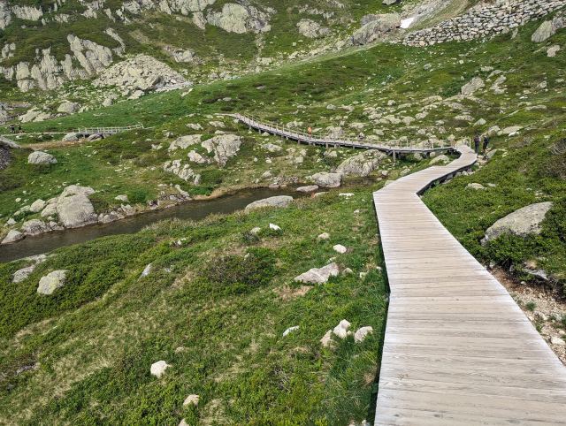
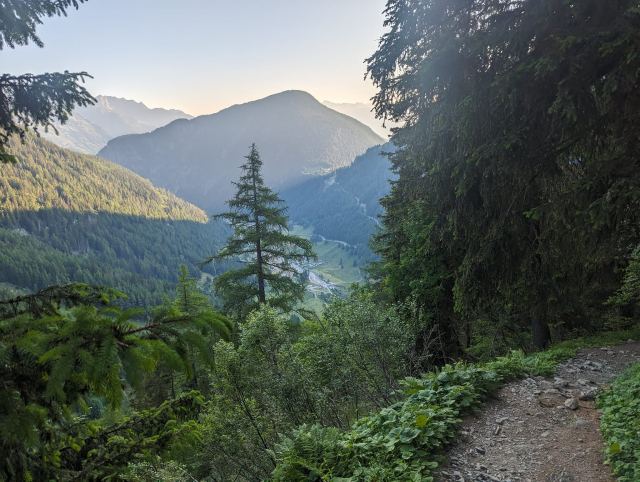
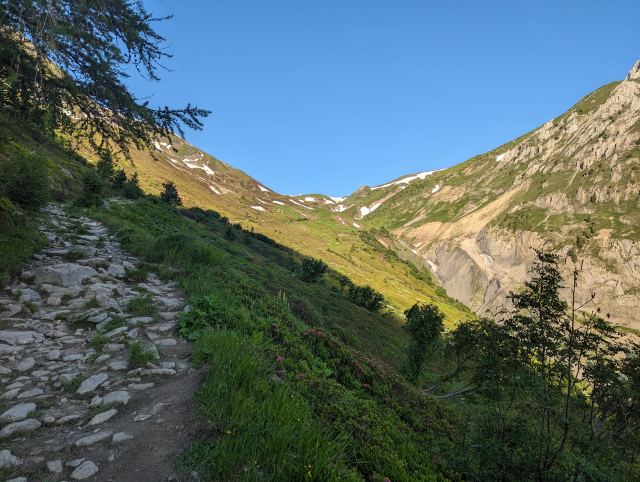
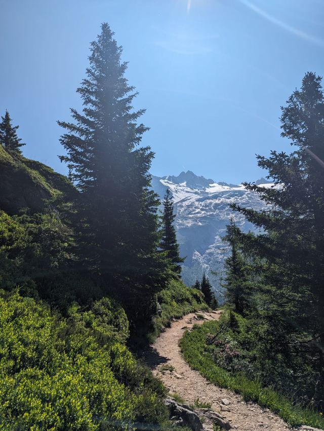
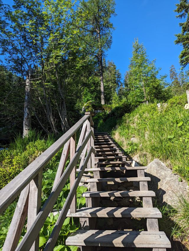
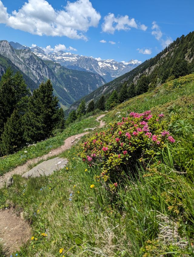
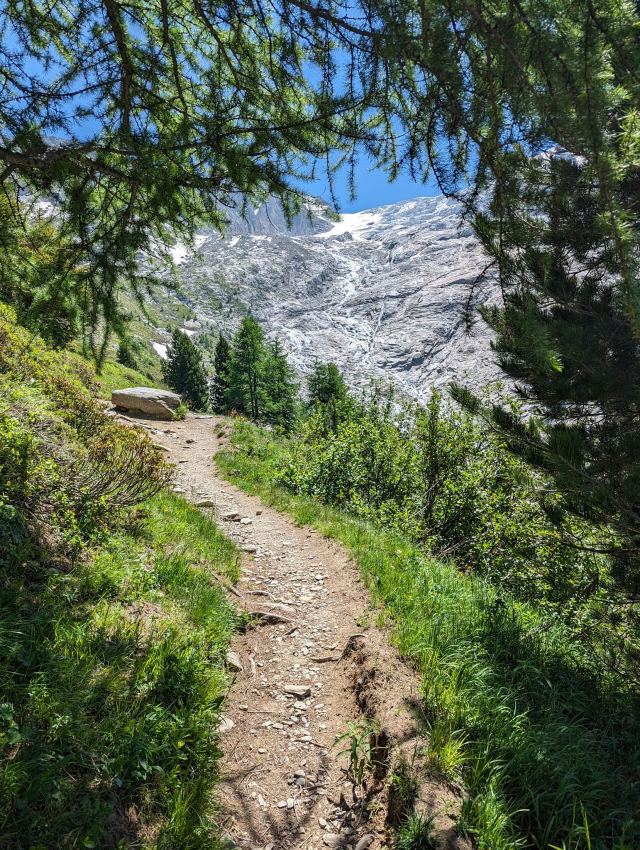
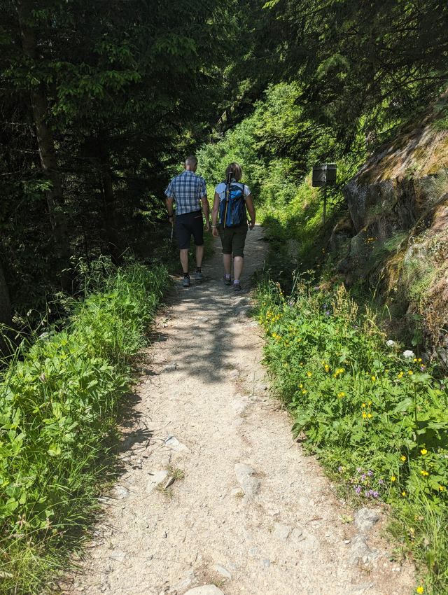
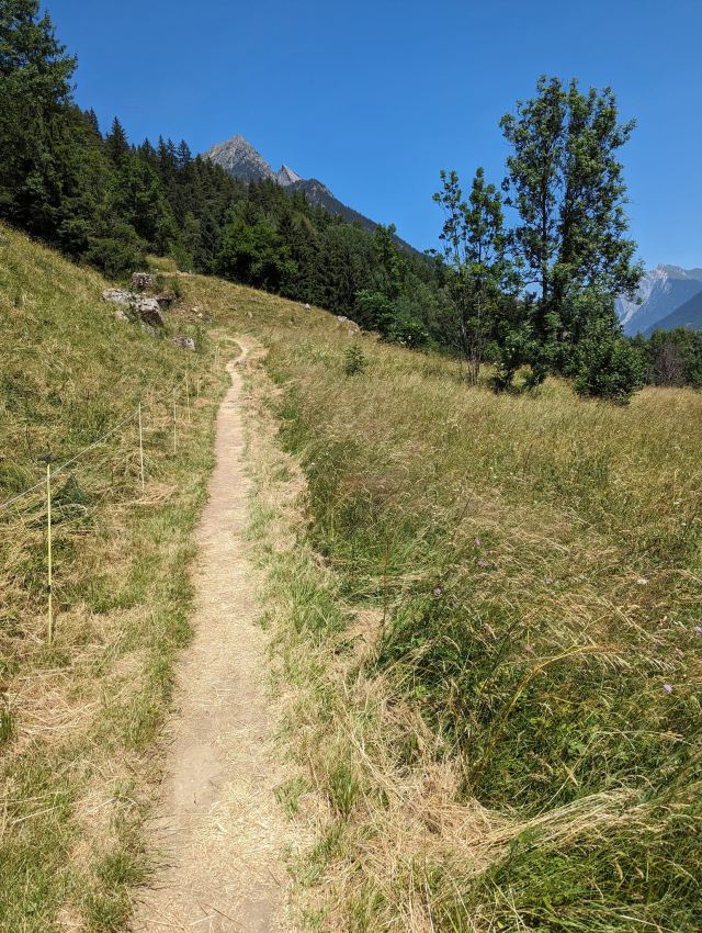
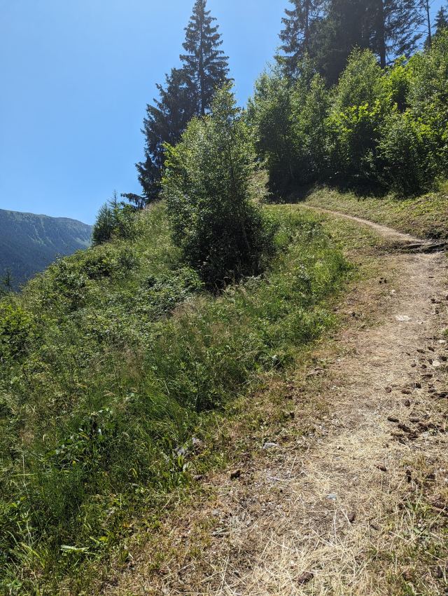
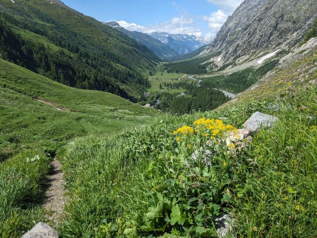
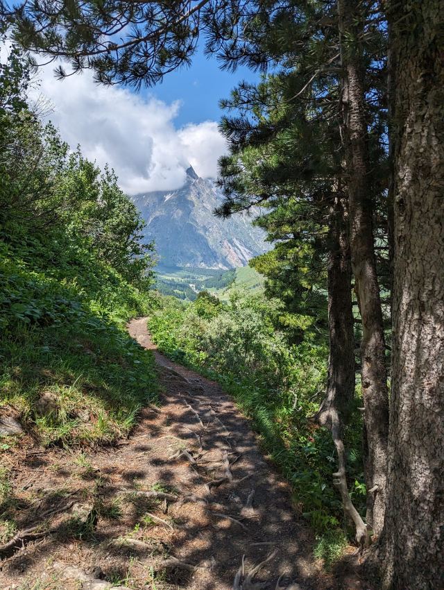
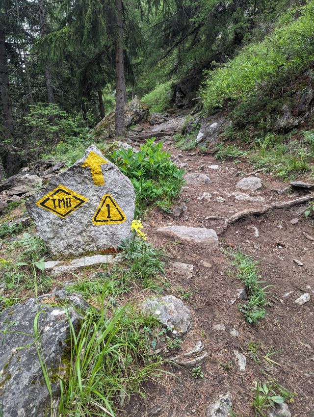
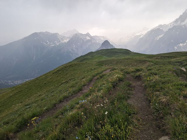
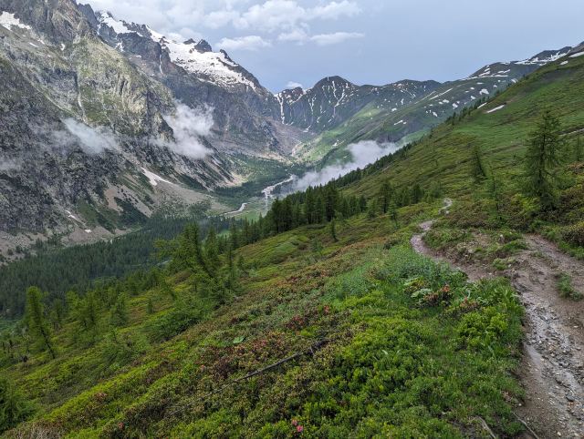
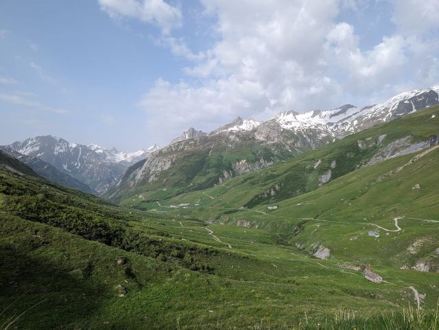
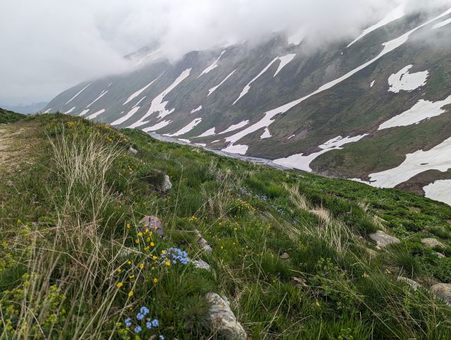
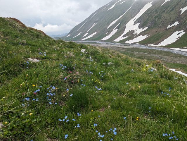
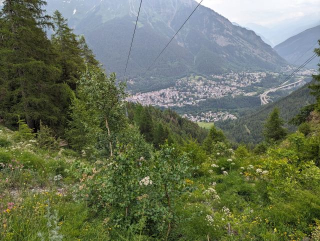
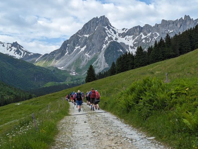
The rest of the trip, I walked through dense spruce forest and countless switchbacks. This is an uninteresting and purely functional stage with few viewpoints, and I almost felt sorry for those I met on their way up this route.
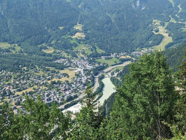
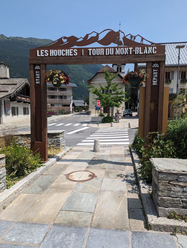
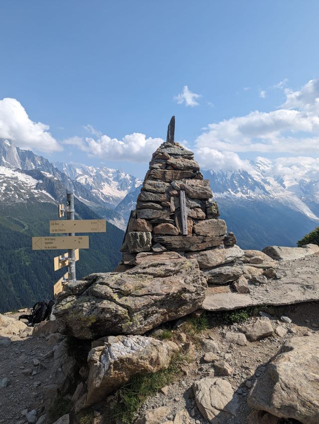
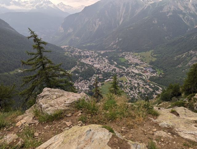
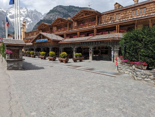
An hour later, I arrived in Les Houches and could walk through the archway that marks the starting point of the TMB. The circle is complete. I have now walked around the entire Mont Blanc mountain range. In total, I have walked 175 km and climbed 11,350 m. I have hiked almost all the variants, except for the first stage where I was missing insoles in my shoes.
It has been a strenuous and tough trip with hard climbs and equally steep and difficult descents. There have also been some days with bad weather. But at the same time, it has been fantastic to hike in the beautiful nature, enjoy the views from the mountain passes, walk through the cozy villages, and not least, meet all the wonderful people. All of this combined makes this an experience I will never forget.
Au revoir TMB! Maybe we'll see each other again 😊
Today's stage length: 7.8 km
📷 View photos in Google Album
27.06.2023
Day 10: Lac Blanc - Refuge de Bellachat
⬇ Download GPX file
I had the alarm set for 6:30 to pack down the tent before seven. I didn't hear that alarm at all due to the noise from the waterfalls around me. I woke up myself at 7:30 and peeked out through the tent opening. Most of the tents were still pitched. No stress, then.
I took it easy instead, ate breakfast, and read the news on my phone. The tent wasn't packed down until 8:30, and I wasn't the last one. I'm unsure how strict they are about this in France and what the consequences are if you break the rules. The purpose of the rules is to prevent long-term camping.
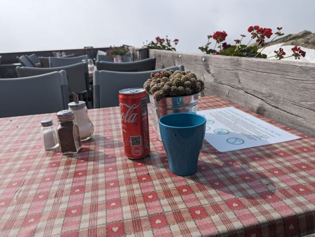
Fog clouds rolled up the mountainside, and from blue sky and sun, it suddenly became dense fog. And just as suddenly, it cleared again. I considered whether to go up to Refuge de Lac Blanc, which is 150 meters further up, or go down to the TMB, which was a few hundred meters further down. I made the decision at the junction – it would be the refuge. A proper cup of coffee would have been nice before starting for today's destination.
The refuge is located next to a small lake (Lac Blanc) that is still frozen. Only a small opening was visible near the river outlet. A young couple I've met many times on this hike were also there. While I'm drinking my coffee, I see the boy undressing down to his shorts and jumping into the opening for a swim. Diving under in that icy water, I find that incredibly bold. I nearly had a heart attack just watching.
Today's goal is to go past the climb of the next stage and find myself a campsite near the first hut after this. It's good to have a backup if the weather turns bad. I'm glad I got the strenuous climb of today's stage done yesterday and avoided starting with it. Now, it's just a descent to Refuge La Flegère (which was supposed to be today's goal), located five hundred meters further down. La Flegère is just below a ski lift station, and many people come up here to go hiking or enjoy the view. I meet many families and groups hiking up towards Lac Blanc. There are a lot of "bonjour"s on the way down. I pop into the hut to charge my batteries and phone and buy a soda as an excuse to be there. They don't serve food there, unfortunately. Once my power bank has gained a few more notches, I'm satisfied and set off again.
The next stage goes to the restaurant Altitude 2000. The trail here follows the mountain south, almost without any incline until near the end. Several ski slopes are crossed here, and there are lifts in all directions. This is a very large ski resort I'm walking through now. The restaurant is a hub for many of the lifts here and is located just below Brevent mountain, which will be today's highest point.
I stop at the restaurant for lunch. The menu had poor selection, so sausage and chips were the most tempting. It was served like a bowl of dog food: a pile of chips with two sausages thrown on top. Frying oil dripped from the chips, and the sausages were burnt on both sides, as if heated in a toastie maker. The chips were so greasy and disgusting that I couldn't eat them. And Nordfjord's grilled sausages would have easily beaten these sausages in a blind test, which should say something. They were also frozen in the middle. Worst meal in a long time, and I paid 17 euros for it. Is that possible? While I sat there, many plates with lots of leftovers were collected. It didn't seem like the burger or the salad tasted any better either. I was extremely irritated by this experience and think it's terrible that they exploit the hordes of tourists who will never return anyway.
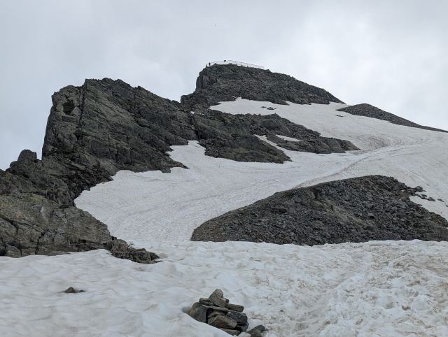
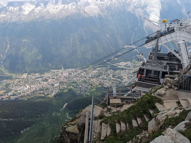
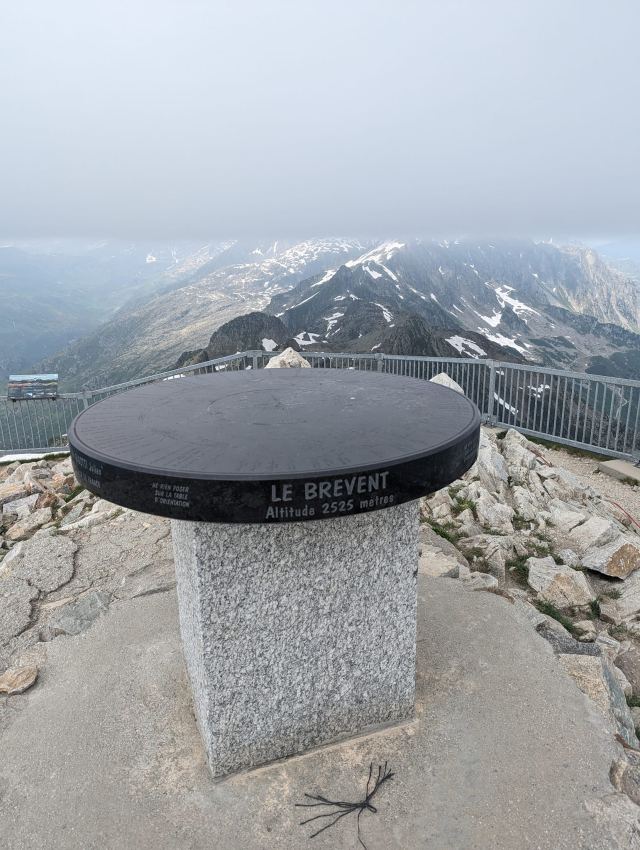
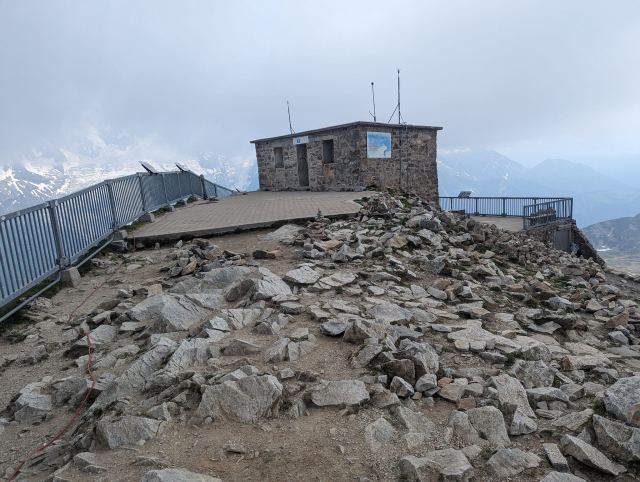
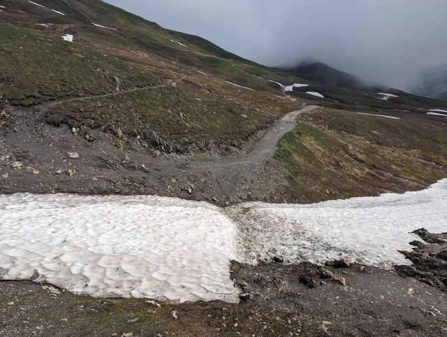
I pay, put on my backpack, and leave the place. From the restaurant, it's a straight, steep climb in switchbacks up the mountainside. The first goal is the pass Col du Brevent (2368 m), which is three hundred meters higher than the restaurant. Midway up the climb, I realize I forgot to fill up water before leaving. I'm starting to run low now. Hopefully, I can get some at the top of Brevent, where the cable car from Chamonix goes. It takes half an hour to the pass, where there is still a lot of snow. The trail now follows the back of Brevent and comes up on the opposite side from where the cable car arrives. It takes another half an hour before I reach the summit of Brevent (2525 m). They were about to close for the day, and I just managed to buy a few bottles of water and a couple of cans of soda before they locked the door there. Lucky!
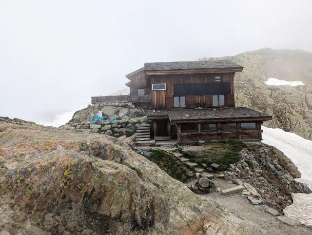
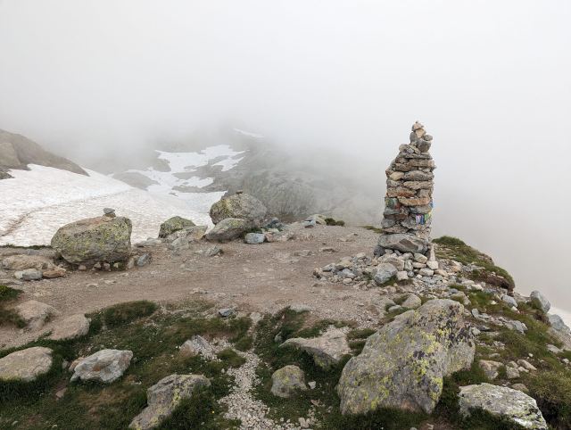
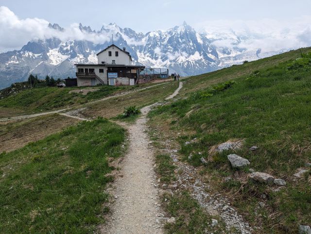
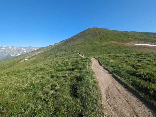
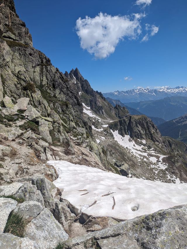
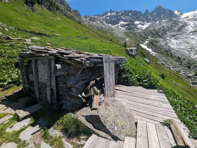
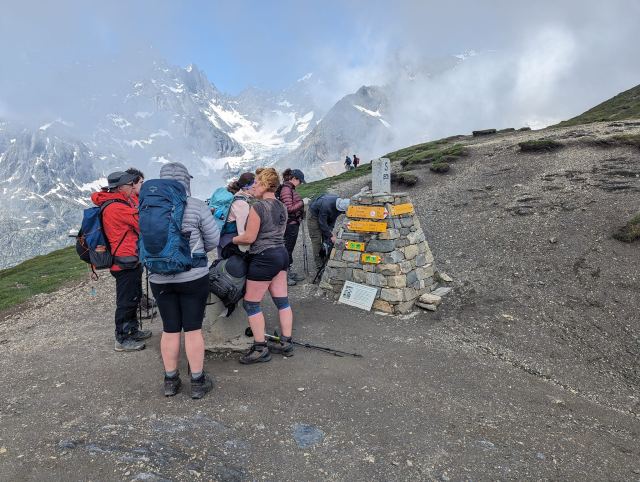
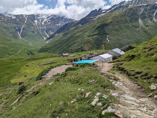
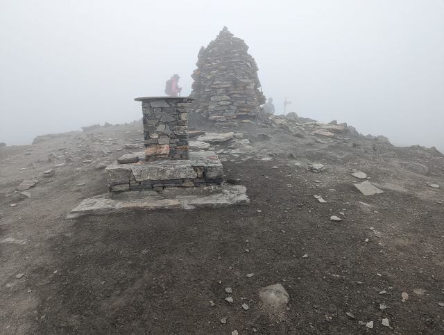
I take some pictures from the summit and continue down towards Refuge de Bellachat (2130 m). The descent from the top is initially steep and rocky, but after a couple of hundred vertical meters, it follows a ridge for a couple of kilometers to a trail junction, where the descent to the hut begins. From the junction, I see several tents already pitched, long before their time. I continue down towards the hut, as I know there are good camping spots just above where the hut is located. I arrive at this spot at the same time as a guy from England who is also looking for a campsite. There are no tents here from before, and there is plenty of space for both of us, so we pitch our tents with a reasonable distance. We also don't comply with the rules for wild camping and have our tents pitched at 5:30.
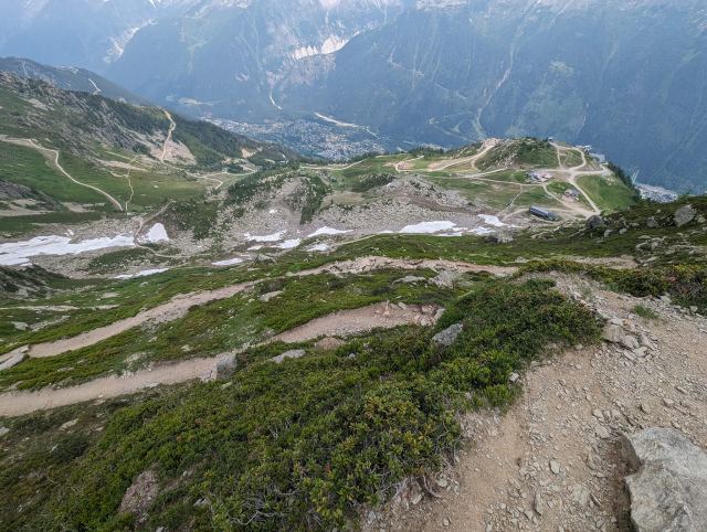
This is the last night in a tent, and today was the second to last stage of the TMB. Now, only twelve hundred vertical meters and seven kilometers down to Les Houches remain.
Tomorrow, there will be a hotel bed, a shower, and a proper dinner. I'm looking forward to that.
Total distance walked: 17 km
Total ascent: 1036 m
📷 View photos in Google Album
26.06.2023
Day 9: Trient - Tre Le Champ - Lac Blanc
⬇ Download GPX file
When planning this trip, I decided to follow the established/recommended stages for the TMB. This is divided into eleven stages of varying lengths and difficulty. The plan is such that one can have lunch at a mountain hut or in a village and stay overnight in a hut or a hotel. If you are camping, there is usually an option for that too at the end of each stage.
Most stages begin with a strenuous climb, and when it is sunny, you want to start early to hike while the air is still cool. The problem with this is that you often finish the stage early. If you have booked a spot in the huts or hotel rooms, you cannot move on to the next stage. This often leads to long lunches to pass the time. If you are camping, you can socialize with other hikers who have also finished early. If I were to do the TMB again, I would combine several of the stages and perhaps spend seven or eight days on the entire trip. It is entirely possible.
Today's stage from Trient also begins with a relatively steep climb, and you have to climb nine hundred meters up to the pass. I therefore wish to start early and have set my alarm for a quarter to six. Half an hour later, I am on my way. The path winds steeply up through the forest in zig-zag turns. The air is cool now, but I still sweat as there is no breeze here.
An hour later, I am out of the forest, and it becomes easier to breathe and walk. Now you can also see the pass you have to cross, further ahead. The path slopes up along the mountainside towards the pass, and the sun is now shining on the last half. An hour later, I am up at Col de Balme (2200 masl).
Here is the Refuge Col de Balme mountain hut, and I stop here for a Fanta and a coffee. I refill my water bottles before continuing towards Tre Le Champ. Shortly after leaving the pass, I am back in France (Viva la France 😊). You now get a fantastic view of Mont Blanc and also see the Grand Balcon Sud mountain area, where I will spend the next two days. It is actually the first time I see the summit of Mont Blanc on this trip.
The path gradually descends along a ski lift to Col des Posettes (1997 masl). It then ascends again on the other side towards the summit of the mountain Aiguillettes des Posettes (2201 masl). At the top, I take a longer break on a bench placed there. It is not yet ten o'clock, and I don't have far to go to reach Tre Le Champ. I first continue down along the mountain ridge and then down through the forest in zig-zag turns (switchbacks) until I reach the campsite at Tre Le Champ.
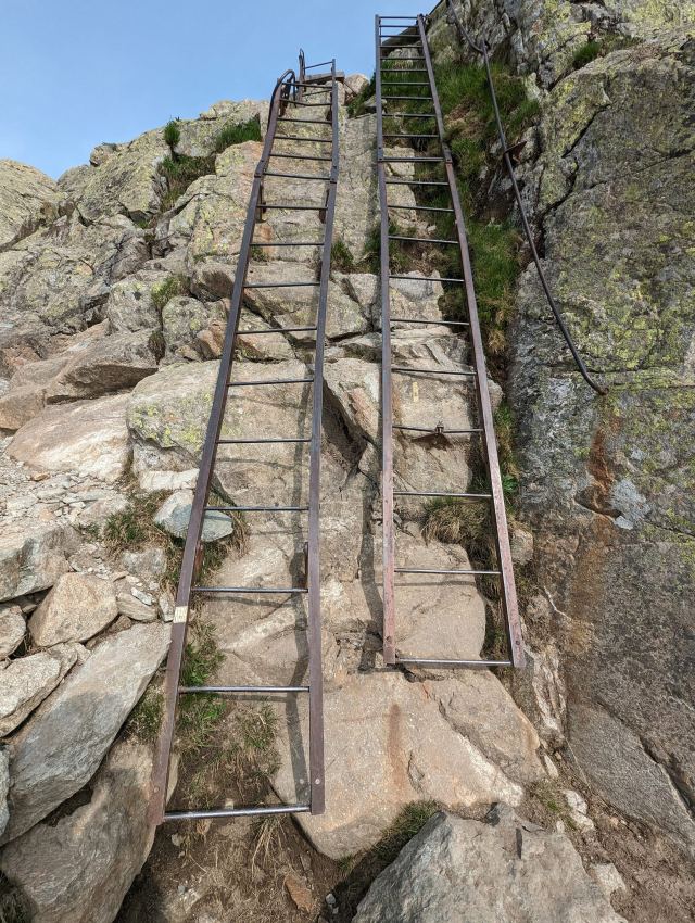
It is eleven o'clock, and I have reached what was originally the day's goal. In Tre Le Champ, there is the Auberge la Boerne mountain hut, where they have a small campsite for tents, accommodation, and a restaurant. The restaurant has not yet started serving lunch, but I can get a soft drink. While drinking it, I decide to go halfway into the next stage since I have so much time left in the day. There is also a quite strenuous climb at the start here, so not having to start with that the next day would be a nice change. During this climb, there are also several ladders and stairs in the mountain that must be overcome. Not everyone is fond of these, and it is possible to take an alternative route up here.
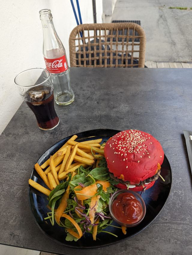
I need to buy food for the next few days, so I go down to Argentiere, where there is a supermarket. There are several restaurants here, and I am craving some junk food for lunch, so I choose the one that has this on the menu. I order an Angus burger with bacon, and when it arrives, I am a little surprised. The burger has a red bun, and with the sesame seeds on top, it looks like a fly agaric. It didn't look very appetizing, but the burger was juicy and tasted very good – it was one of the best burgers I've ever tasted. I sit for a long time at the restaurant before going to the supermarket. I need to let my food settle before I start walking.
After the shopping is done, I walk back to Tre Le Champ and find the path that goes in the direction of La Flegere. Here too, it is a direct climb through the forest with switchback turns. Now the sun is warming well, and it becomes terribly difficult to walk up these turns. I have to climb nine hundred meters to reach the area where I will set up my tent. It is right next to a lake just below Refuge du La Blanc.
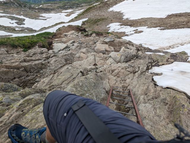
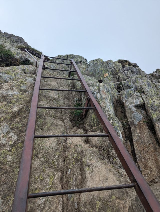
When I finally emerge from the forest, I have a rock face directly in front of me. I follow this south for a while until I reach the ladders. There is a queue of people going down, so there is a lot of waiting. An ibex is grazing right next to me. It is clearly used to people. The ladders are quite easy to climb, even with a backpack.
After passing the ladders, the climb continues in switchbacks up the bare mountain until you reach the height of Aiguillette d'Argentiere. From here, you can now see Refuge du Lac Blanc. It is a long climb, I notice. After an hour, I arrive at the lake where I will spend the night. It is a quarter past six. There are already many hikers here, and they have found spots for their tents. I also find a good spot for mine, right between two rapids. However, no one has set up their tents yet. The rules for wild camping are that the tent cannot be set up before seven in the evening and must be taken down at seven in the morning. Everyone adheres to this, but I still set up the inner tent to air it out before I put on the outer cover. It was a bit damp when I packed it down in the morning. At seven o'clock, all the tents are set up.
For dinner, there was a Moroccan stew I bought at the supermarket. It was good, but it really made my cooking pot messy. As I was washing it in the river, a large ibex buck passed right next to me. I jumped so much that I almost dropped the pot in the river. I caught it just before it went over the rapids. A great experience and a perfect end to a long and tiring day.
Total distance walked: 26.6 km
Total ascent: 2100 m
📷 View photos in Google Album
25.06.2023
Day 8: Champex - Trient
⬇ Download GPX file
Today's stage has a variant that goes via the Fenetre d'Arpette pass, where there are spectacular views of the Trient Glacier and the surrounding mountain areas. This route goes considerably higher than the traditional path. The pass is actually as high as Col de Fours, at 2665 meters above sea level. There has been a lot of snow here previously, and it has been discouraged to take this route until now.
When I planned the trip, this variant was high on my wish list, so it was disappointing that it now looked like I had to abandon it. But the day before, several people had gone this way and reported that conditions were good. It wasn't hard to decide. The weather was also absolutely perfect, so there was no doubt.
This is a very demanding hike with 1200 meters of ascent and then almost 1400 meters of descent over 16 km. The trail starts on the outskirts of Champex, where the cable car goes up to La Breya. From there, it enters the forest and follows a water channel for a kilometer until it meets a river. From here, it climbs fifty meters to the Relais d'Arpette hut. It then follows the valley through the forest for three kilometers. Now the ascent really begins. It becomes steep from this point. The terrain here is birch scrub and rock.
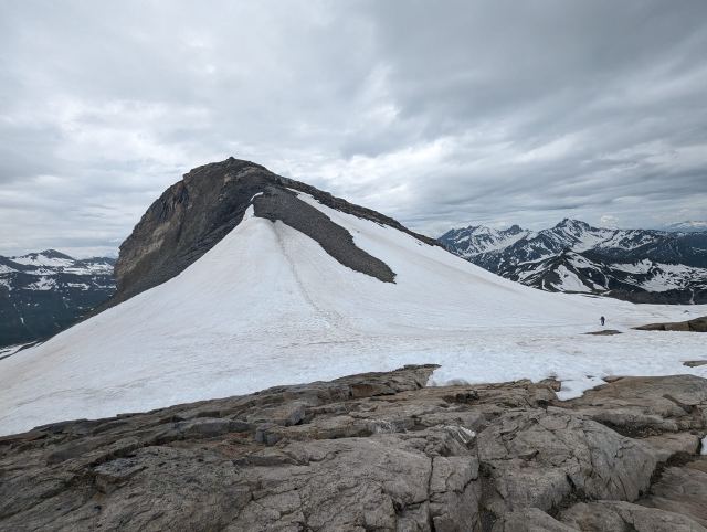
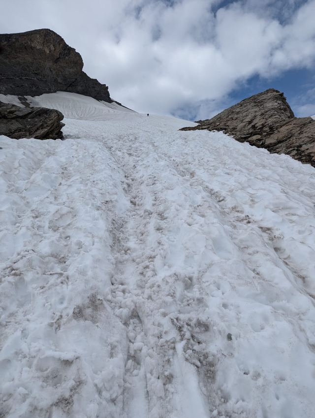
Gradually, larger rocks appear that must be maneuvered over or around. The steps you have to take here will get your thighs burning. It's unavoidable. Once this area is finally passed, the very steep ascent to the pass remains. First a few hundred meters on snow, then on loose scree. Many breaks were taken during this climb.
If the climb hadn't taken my breath away, the view from the top would have. It's fantastic! There's a long break here for taking pictures in all directions and having lunch. A baguette with salami and a Cola Zero. Unfortunately, the Cola had been lying against the side of the backpack exposed to the sun and was warm.
The descent on the other side is no less steep. Here too, there is rock and loose material that requires constant focus. A misstep here could be fatal for the rest of the TMB or perhaps even worse. There are also more altitude meters to be overcome here, which takes its toll on the knees and thighs.
The descent feels endless, but after two hours, it finally flattens out a bit. Now I'm down in the forest and the terrain becomes gradually easier to walk in. It is, of course, much warmer here than at the pass, and sweat is pouring down as I push on to get down to Trient and find a good camping spot.
There's a quick stop at Biviette de Glacier de Trient for refreshments. The rest of the trail down to Trient follows a flat route that is clearly a popular hiking trail for the locals. I naturally miss the turn-off down to Trient and don't realize this until I'm at Col de la Forclaz, a kilometer past the junction. I just have to turn around and go back.
At the campsite, it's naturally starting to fill up with tents. However, I find a usable spot in the end. There is also a Refuge here that serves dinner in a couple of large tents next to the hut. I was too late for that, as there were of course no available spots. This makes missing the trail even more frustrating.
There are many American youths at the campsite, and they take up a lot of space. The common room for cooking is occupied all afternoon, preventing others from using it. Dinner is therefore prepared in the tent.
Total distance walked: 17.4 km
Total ascent: 1210 m
📷 View photos in Google Album
24.06.2023
Day 7: La Fouly - Champex
⬇ Download GPX file
The campsite in La Fouley is very well located next to the river with a great view of the mountains. There are dedicated pitches for TMB hikers close to the service building and dining hall with Wi-Fi. Very convenient, in other words.
It cost about a hundred kroner to pitch a tent there and use the facilities. But I saw hikers who came after me set up tents without paying. There was no control over this and you don't get a receipt.
The tent was completely dry by the afternoon. When I went to bed around eleven, the sky was clear and it was very cold. There was a lot of moisture in the air and the grass was wet, which means there was condensation.
When I woke up the next day, the outer tent was full of condensation, and there was also condensation inside the inner tent. I have never experienced this before. The groundsheet was wet on the inside. You don't want condensation in the inner tent, as that will make clothes, sleeping bag, and sleeping mat damp as well. I had a small hope that the sun would dry up the moisture in the morning, but I had misjudged the tent placement. The sun was behind some tall spruce trees now and probably wouldn't hit the tent until much later in the day. It was packed down even wetter today than yesterday.
Today's stage is considered to be the easiest and also the least spectacular part of the TMB. You mostly walk through forests here, with some clearings now and then where you can see small towns or farms below.
From La Fouley, the trail follows a cart track along the river down the valley. After a kilometer, the trail leaves the cart track and continues on a path higher up in the forest. There are large spruce trees here, so it is shady and dark. The sun is strong now, so that doesn't bother me too much.
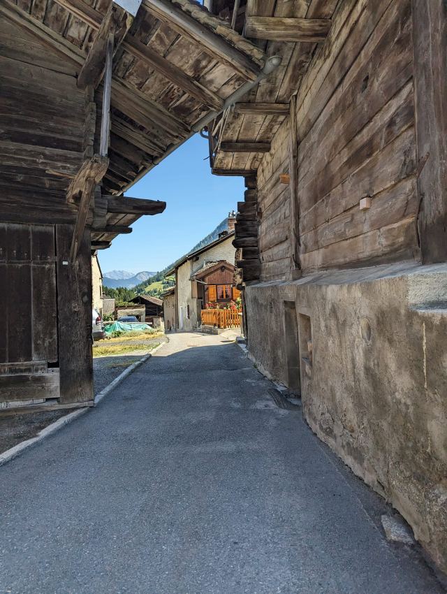
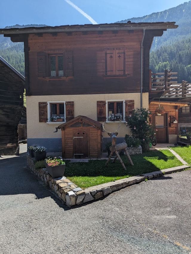
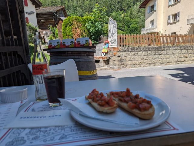
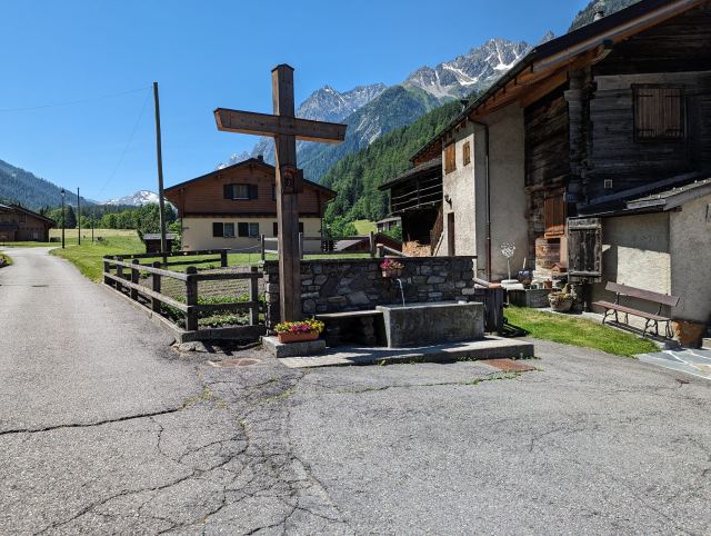
After seven kilometers, you pass the village of Praz de Fort. This is a lovely little place with old wooden buildings and beautifully decorated gardens. There are also a couple of eateries here, and I decide to buy lunch at one of them. It's convenient as I am now halfway through this stage. I get a cola and bruschetta. The bruschetta was surprisingly good for being in Switzerland😅. I found it lovely to walk through this area, and it was probably the highlight of the stage (apart from the destination, of course).
The next part of the stage goes down along the river again, crosses it at some point, and then follows the road for a short distance before taking off into the forest again. Now the hardest part of this section begins. Champex is located between two mountains, four hundred meters higher than where the road goes. The altitude itself isn't too bad, but the trail goes through dense forest, and parts of it have been rerouted due to logging. This part is very steep and very demanding in the heat. I think this surprises many, as the trail doesn't go over any pass and no climbing is expected.
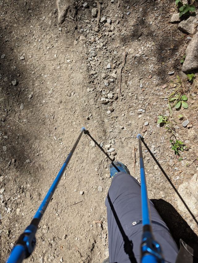
On such steep ascents, hiking poles are a great help. I've never been a big fan of using poles before, as I found they just got in the way. This trip has completely changed my mind. If you use poles correctly, they greatly relieve pressure on your thighs and knees both uphill and downhill. You notice this especially with a heavy backpack. You can keep going on steep hills without your thighs getting sore. I will probably always use poles from now on when hiking with a backpack, especially if I'm going to be in very hilly terrain like this.
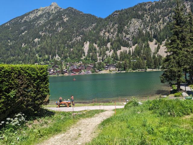
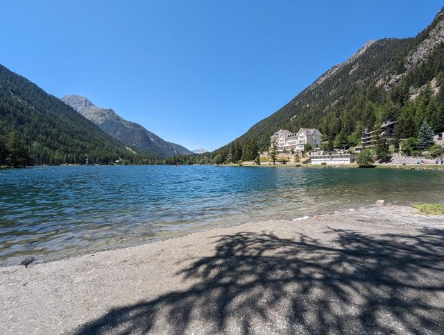
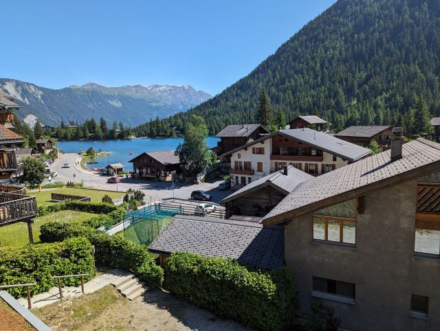
The strenuous climb up to Champex is rewarded with a beautiful view when you arrive. This idyllic place is like a postcard with a small lake nestled between the two mountains, La Breya and Li Blanche. A cluster of hotels lines the lake on one side, and a beautiful promenade with swimming spots on the other. There are paddleboard and pedal boat rentals, and fishing opportunities. There are also chairlifts to the top of La Breya if you want a better view of the area. There is a ski resort on the other side of the mountain, which is the basis for this.
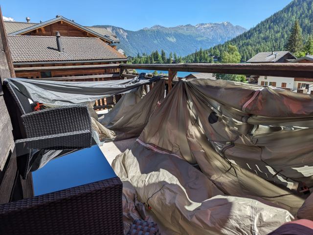
I had pre-booked a room at the hotel Au Vieux Champex. It is located in the middle of the cluster of hotels, close to restaurants, and with a grocery store right across the street, so an excellent location. The room was a pleasant surprise. It was larger than expected with a separate bedroom and living room with a kitchenette. And perhaps best of all is the balcony, which has a nice view of the lake and the surrounding mountains.
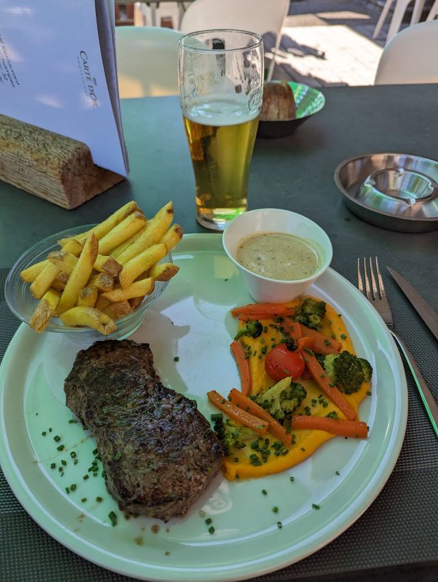
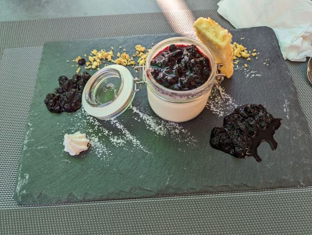
I hang the tent to dry on the balcony along with the clothes I washed in the sink with shampoo😄 After a much-needed shower and in clean clothes, I walk down to the hotel's own restaurant for a proper dinner. Here I eat charcoal-grilled entrecote with chips and some kind of mash. For dessert, it's blueberry panna cotta. I don't dare say how much this delight cost, but heroin is probably cheaper. But it was really good, so it was worth it. I'll just have to eat noodles for the rest of the trip😅
Total distance walked: 17 km 😊
Total elevation gain: 565 m
You can follow me on the map here
https://eur-share.explore.garmin.com/torgeirmork23.06.2023
Day 6: Val Ferret - La Fouley
⬇ Download GPX file
During the night there was a period of strong wind and heavy rain, and I woke up from this and became worried that the wind would loosen the guy rope attachments. I regretted not throwing heavy stones on them, but thankfully the pegs held firm. I also noticed that it had become very chilly. The temperature sensor on my backpack measured only 4 degrees. But I was warm and comfortable in my sleeping bag, so it didn't worry me too much.
I had set my alarm for 7 am to pack down the tent as early as possible. When it rang, it was raining intensely on the tent fabric, and I quickly decided to postpone this for a while longer. I fell asleep again and woke up to the sun warming the tent fabric. Lovely😀! The time was then 9 am. The rain had stopped, but the tent fabric was still quite wet.
The plan was to walk to La Fouly and stay at the campsite there today. If the weather turned good, the tent would dry quickly. The outer tent was packed down wet in a carrying bag I had in my backpack. While I pack, I see several groups heading towards Val Ferret. At 10 am I was walking.
There was an icy wind blowing and it was only 8 degrees, but the sun warmed well and still made it comfortable in my t-shirt😊 This is perfect hiking weather!
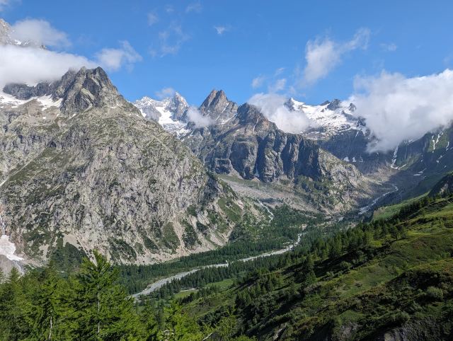
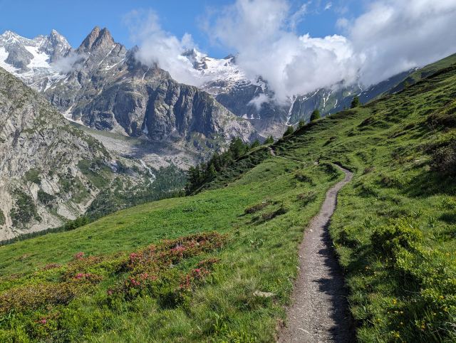
The mountains on the other side of the valley become very prominent in the cool and clear air. Clouds around the peaks create a magical atmosphere, and I take far too many photos. Now I finally get to see the mountains I've been hiking around for several days.
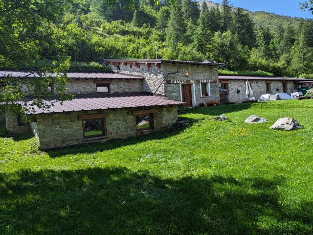
After half an hour, I'm down in the valley floor and pass the Chalet Val Ferret. There are quite a few hikers sitting here eating, and I consider for a moment stopping in for a cup of coffee. But both breakfast and coffee have already been consumed, so it would be a waste of money. It's not cheap at these mountain huts.
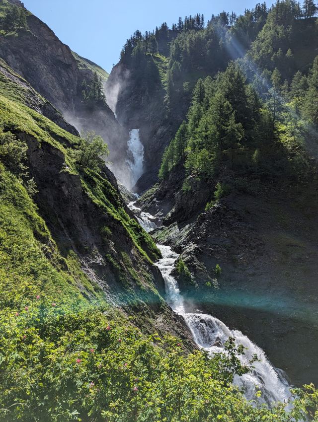
I continue up the valley along the road that goes here until it stops. From here, the path goes steeply up beside a beautiful waterfall. A couple of hundred vertical meters further up, it flattens out and follows the mountain for another kilometer before it again ascends a hundred meters up to Rifugio Elena. This hut is not in operation for some reason, but I still take a short break here to eat some snacks.
From Elena, it's about five hundred vertical meters up to Grand Col Ferret (2537 masl), which is the highest point of the stage. The way up is steep and tough, with no flat sections to recover. There are also several guided groups on their way up, and they often stop for a break or when the guide needs to explain something or gather the group. It's very annoying to be behind them as they block the path when they stop. It's not that easy to pass on the outside either.
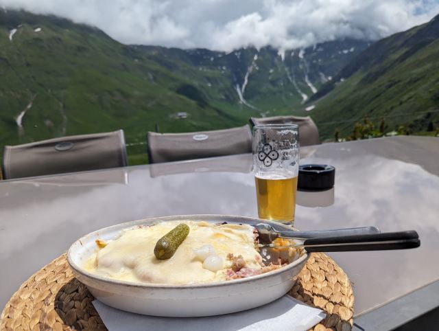
After an hour, I'm at the pass. This pass is also the border between Italy and Switzerland, which means that from now on I'm hiking in the Swiss part of the TMB. The icy wind is blowing strongly here, and it's not tempting to sit down for a break. I quickly take some photos and continue down the other side. Here, the path winds down grassy hills first before it rounds the mountain and goes steeply down to the mountain hut Reverse de la Peule. Here I have a very good lunch, bread slices with ham and cheese gratinéed in the oven. It was much better than it sounds.
From this point, the TMB follows a cart track down into the valley to La Foluey. Many recommend following the path higher up for a better view down into the valley. While I'm eating lunch, I overhear the guide of a group of English hikers talking about this path, and when they set off, I join them. I walk a little way behind them, but on a couple of occasions, they stop to wait for me. The guide thinks I'm part of the group. The second time this happens, we agree that I can go ahead😄
The path follows the tree line here, so you get a beautiful view down into the valley all the way. Apart from the guided group, there's no one else walking here. Just before La Fouly, the path goes steeply down and meets the TMB two hundred meters further down. A little kilometer more, and I'm at the campsite where I'll be camping tonight.
There are some restaurants here, but I'm still full after lunch and have some baguette slices with chorizo for dinner instead.
Total distance walked: 18 km 😊
Total ascent: 986 m
You can follow me on the map here
https://eur-share.explore.garmin.com/torgeirmork22.06.2023
Day 5: Courmayeur - Val Ferret
⬇ Download GPX file
You don't go to Courmayeur to experience the town. I can say that from experience now. Most of it can be experienced in a couple of hours, and after that, there isn't much else to do. I was simply bored and sat for several hours waiting for the darn store to open so I could buy food for the next stages. By food, I mean a chorizo sausage and a couple of baguettes plus some snacks. In other words, it was good to get started with the next stages.
Today, I had initially planned to follow the traditional stage, meaning to go from Courmayeur to Rifugio Bonatti and stealth camp there in the area. Stealth camping means setting up the tent hidden so that trail patrols don't see it. It's not allowed to wild camp below 2500m here, and if you're caught, you can get a hefty fine. Still, many people do it, and if you set up the tent a bit away from the huts, it usually goes fine.
Bad weather was forecast for the rest of the day, so I set a goal to leave early. I hoped to reach Rifugio Bonatti before the thunderstorm set in. At quarter past eight, I had checked out of the hotel and was ready to go.
This stage is only 12km, and I think that's a bit short, especially since the next one is 20km and involves a demanding ascent of 850m. I therefore planned to hike an extra 3-4km so I can get a head start on the next stage.
From Courmayeur town center, the trail passes the church and follows the road from there all the way to the foot of Monte de la Saxe, which I will eventually climb and follow into the valley. Where the road ends, the trail winds steeply upwards in zigzag turns through the forest. After 4.5 km, I reach Rifugio Bertone, where I order a coffee Americano and a slice of carrot cake. The carrot cake was bone dry and fell apart when I tried to take a piece with my spoon. It has probably been in the cake display since last season.
From Bertone, the TMB trail follows the west side of Mount Saxe into the valley. This passes several farms and large herds of cows. Previously, the route went over the top of the mountain, but this is now a variant you can choose if the weather allows. The thunderstorm was still a couple of hours away according to the weather forecast, so I chose to try the variant. After another 350 meters of elevation, I was up on the ridge of Saxe and followed it inwards with a great view on both sides of the mountain.
I was halfway to Bonatti when it started to drizzle, and looking at the clouds approaching me, I knew it was going to get worse. I sped up to get back down to the TMB. On the way down the mountain, I passed an old farm and found shelter there. It was raining heavily now.
The building was partially collapsed and not habitable, but it clearly showed signs of recent activity. Beer bottles and food packaging from recent dates were scattered around. Perhaps hunters had been there and used it as shelter? I got bad vibes being there and almost fell off my chair when something flew past my head. It was a wagtail that had its nest right behind where I was sitting😅
The rain eventually stopped, and I pushed on to reach the hut before the thunderstorm. A little half hour later, I arrived at the hut. I ordered a pasta ragu for lunch and took the opportunity to charge my phone. Just fifteen minutes later, I heard the rumbling of the thunderstorm that was now passing over the area. It eventually subsided but was followed by intense rain. I waited it out in the hut and looked with dread at the prospect of setting up a tent in the rain with a soaked ground if it didn't stop soon. I considered going down to the road and taking a bus to Courmayeur to find accommodation there.
After two hours, the rain finally stopped, and I set off to find a place to pitch my tent. Just before the descent to Chalet Val Ferrett starts, I found a perfect spot to set up my tent. It's a bit off the trail and on a small elevation so that rainwater runs off and doesn't collect under the tent. I'm also lying perfectly flat here and don't slide on the sleeping mat. I had barely gotten into the tent before it started to rain heavily again. Oh well, lucky timing once more.
It was Chicken Curry for dinner today. It was successful today too😅
Total distance hiked: 16 km
Total elevation gain: 1482 m
📷 View photos in Google Album
21.06.2023
Day 4: Rest day in Courmayeur
⬇ Download GPX file
Today the activity level has been low. In the Garmin app for my watch, I could see that my body battery was only at 5%! I have therefore used up my battery and now I need to recharge 😊
It was therefore fitting with a rest day and to use it to look around the town here.
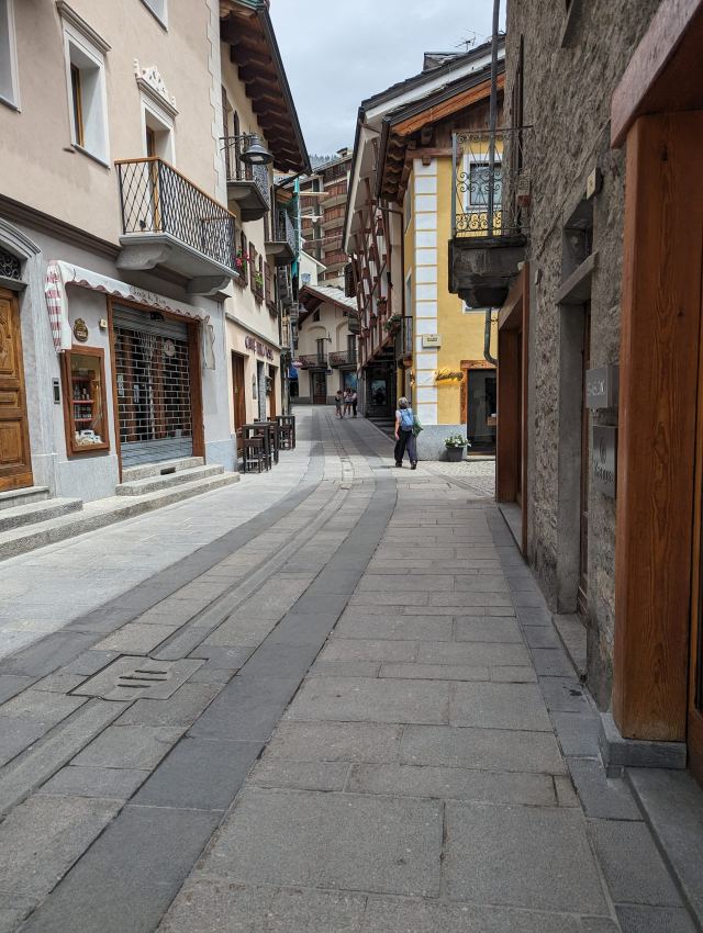
The hotel I am staying at is located in the middle of the town and it only takes 5 minutes to walk to what is considered the town center. Courmayeur is a small town with about 2800 inhabitants, but there is still a relatively long shopping street here with well-known brand stores that you don't expect in such a small place. Italians love their designer clothes. Grocery items, on the other hand, they are not particularly concerned with. There is only one small grocery store here with very limited opening hours.
The town's name is of French origin and means something like "seat in a small church district". The town is considered a sister town to Chamonix and winter sports are the main activity here. The Mont Blanc tunnel connects these two towns.
In the summer, this is a sleepy place and many of the hotels and shops are closed seasonally. Most of those who are here now are hikers who are, will be, or have been on a trek like me. There are options for those who want to go up and view Mont Blanc more closely without hiking. Skyway Monte Bianco takes you up to Punta Helbronner at 3500 meters. From here you can take a cable car over to Aiguille du Midi and from there a lift down to Chamonix. But this is not cheap.
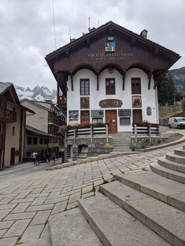
A mountain guiding company was the beginning of the town as it is today. Società delle Guide Alpine di Courmayeur was formed in 1850 to educate/qualify professional guides to meet the increasing mountain tourism that was happening in this area. It was primarily mountaineering and rock climbing then.
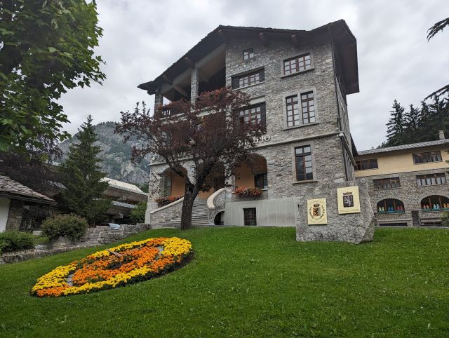
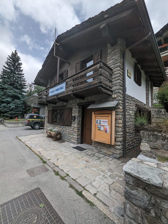
Courmayeur can also boast of having the most beautiful town hall and police station in the region.
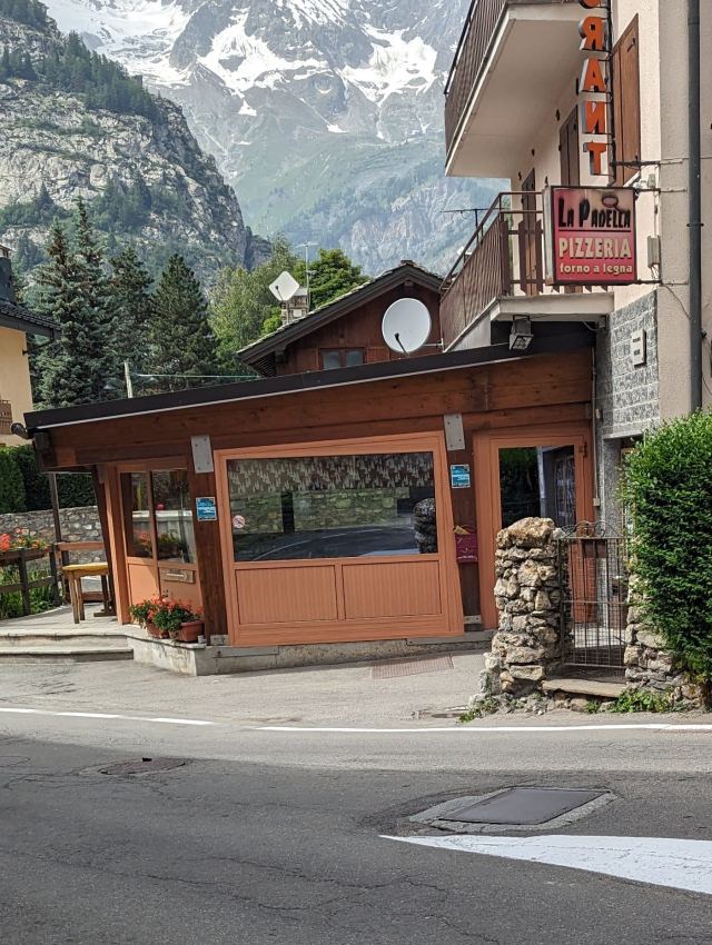
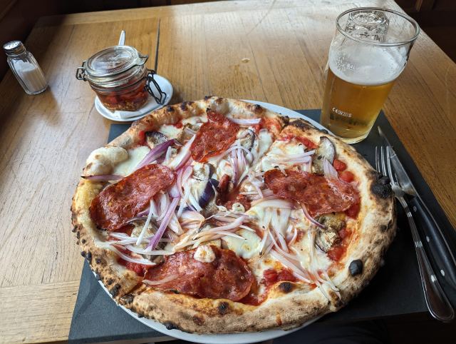
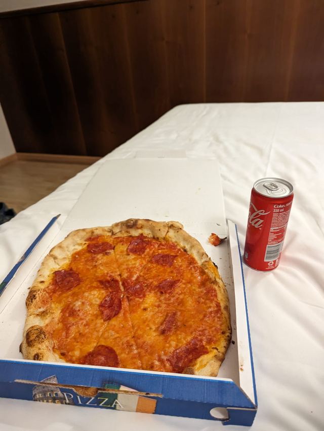
There are many restaurants and I finished my tour by eating pizza at one of them (La Padella)
Total distance walked: 4.5 km 😊
Total elevation gain: 75 m
📷 View photos in Google Album
20.06.2023
Day 3: Refuge des Mottets - Courmayeur
⬇ Download GPX file
From Refuge des Mottets, the trail starts with a steep climb in switchbacks up to the ridge above the hut. It then ascends steadily to Col de la Seigne (2525m above sea level). This pass is supposed to offer fantastic views in all directions, especially towards the Mont Blanc massif. The weather forecast wasn't good for the day, but I still hoped for some views at the top. Unfortunately, it got foggier and foggier the closer I got to the pass. It eventually got quite chilly, so I had to put on my shell jacket. At the top, the fog was so dense that visibility was barely 10 meters. Not much of a view there that day. The pass is right on the border between France and Italy, so now I'm in the Italian section of the TMB.
It's customary to greet those you pass on the trail, and most people I meet do so. Guidebooks about the hike mention this specifically, stating that one should greet with "bonjour" in France and Switzerland, and "buongiorno" in Italy. I thought this wasn't practiced so strictly, but it almost immediately switched to the Italian variant when I crossed the border. It was either "buongiorno" or "salve," which they also use a lot here. Funny😊 I wonder if they've read the same books as me?
The fog made navigation difficult, especially the first section from the pass where the path was covered in snow. There were tracks going in all directions, which didn't make it any easier. Right here, I was walking alone, so I had no one to follow either. I chose to follow the tracking I had saved on my watch. It led me on the right track.
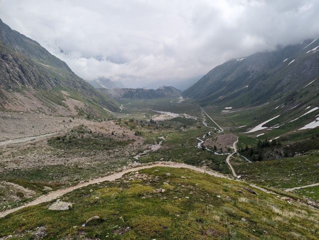
Approximately 1 km from the pass, I pass the emergency hut La Casermetta, which is located at the head of a valley and on the ascent to the pass. Here, the fog began to lift, and it became possible again to see the areas I was hiking through. The valley I'm following widens, and at its bottom lies a river that grows in size the further out I get. There's significant snowmelt in the mountains now.
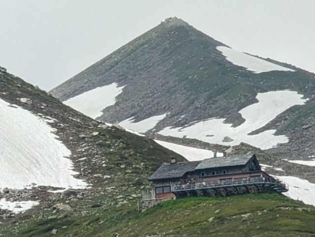
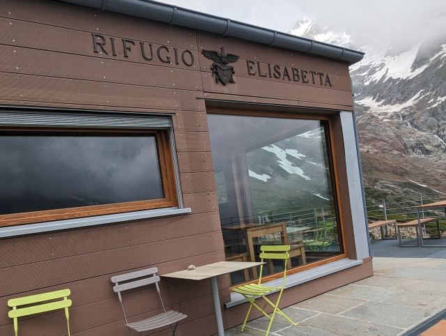
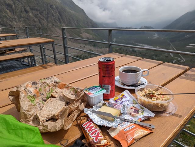
After about 7.5 km, I arrive at Rifugio Elisabetta (2192m above sea level). It's now 11 in the morning, much earlier than planned. This was actually the goal for today's stage, and although it was supposed to be short, it became much shorter due to the variant I took the day before. I order a coffee and a cola here and eat the packed lunch I pre-ordered at Mottets. The lunch was excellent - there was plenty of varied food. While sitting there, I decide to go all the way to Courmayeur and take a rest day there. This place is about 16 km from Elisabetta, which corresponds to a 5.5-hour walk. I actually have a hotel room there for the 21st-22nd, but I manage to extend my stay by one day earlier. That works out well because then I can recharge all my batteries, including my own😊
Elisabetta is situated at a divide between two different valleys, and the valley below is a flat wetland area with rivers winding through it. The overall impression is marred by a perfectly straight construction road on the south side of the valley. But it's beautiful nonetheless.
At the end of this plain, the path goes uphill again. You have to climb just over 500 vertical meters before reaching the highest point. The sun has now come out, and it gets so hot that sweat pours off me as I push up the slopes. I pass a Finn three or four times during this ascent. When I stop, he passes me, and after a while, I catch up with him again. He has a Finnish flag on his backpack, so I assume he's Finnish. I see that he's also struggling with the heat and that his clothes are drenched.
I finally reach the highest point, and now it will only be downhill for the rest of the stage. The path slopes downwards along the mountainsides towards the ski resort above Courmayeur. There are a couple of places where you have to traverse snow patches on steep slopes, but this isn't very challenging for someone from Northern Norway😉
After 19 km, I arrive at Rifugio Maisen Vieille (1957m above sea level), located 800m above Courmayeur. This is a hub for all the ski lifts coming up from the valleys on both sides of the mountain ridge. I sit down here and order a glass of refreshing liquid and soon get a visit from the Finn I met earlier on the stage. Naturally, we talk about the hiking experience so far and future plans. I learn that he has limited time and shortens the trip where he can by bus and lift, but he has walked all possible variants. He only speaks English. When asked about this, he explains that everyone learns Swedish in Finland, but those living in the eastern part of the country have little contact with Swedes, and the language is therefore forgotten. That seems logical😊
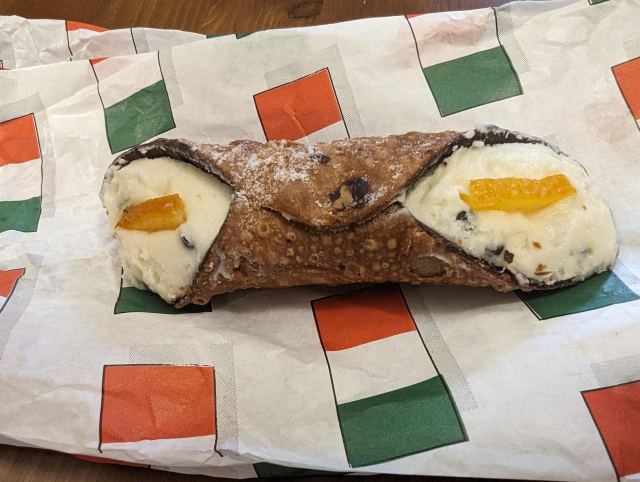
The wind starts picking up, and I have to end the pleasant conversation and get down to Courmayeur before it rains. An hour later, I arrive at the hotel. After a quick shower, I pop into a pizza restaurant and pick up a Pizza Diavola and a Cannoli. A cannoli is a fried dough shaped like a tube filled with sweet ricotta (cheese), and the one I got had chocolate mixed in. The pizza was very good, but the dessert was too sweet for my taste.
Tomorrow, I'm taking a "zero day" (hiker's term) and will explore Courmayeur. We'll see if there's anything to write about.
Total distance walked: 25.9 km
Total ascent: 1300 m
📷 View photos in Google Album
19.06.2023
Day 2: Les Contanimes - Refuge des Mottets
⬇ Download GPX file
This is considered the longest stage on the TMB, and with an alternative route towards the end, it is also the highest point on this trek. On this and the next stage, I will be without mobile coverage, so there will be few updates before I approach Courmayeur.
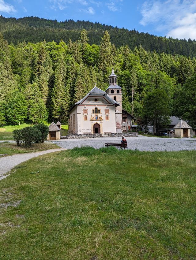
From Les Contamines, the trail follows a river further into the valley on completely flat terrain until you reach a beautiful church, Notre Dame de la Gorge. From this point, there is a steep climb on a cart track further into the valley. The path then flattens out after a few kilometers, and you get a magnificent view into the valley and can see Refuge La Balme, which lies in the middle of the ascent that is just over a kilometer away. All the way, I pass large groups of people with guides, and they walk so slowly that I wonder how they can make it before dark.
The ascent becomes steadily steeper when passing Refuge la Balme, and it gets very steep for a short stretch before flattening out again. Now it's flat for half a kilometer before it starts to climb again, and now large parts of the trail are covered in snow. At the end of this ascent lies Col du Bonhomme (2328 masl). Col means pass, and from this pass, the trail slopes eastwards and climbs an additional hundred meters before reaching Refuge de la Croix du Bonhomme. From here, I take a detour to a new pass that takes me through an area that is said to offer a more spectacular experience than the original trail. I also end up a short distance into the next stage, thus saving a few kilometers on this one. The pass Col Les Fours is at 2665 masl, and there is still a lot of snow here.
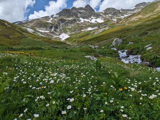
The descent on the other side is very steep, and if it hadn't been soft snow here, I wouldn't have gone down this way. It's hard to make your way down the snow-covered slope, but eventually, you get past this area and end up in a valley teeming with flowers of all kinds, and here I also spot several marmots running around and hoarding food. Unfortunately, I don't get close enough to take a good picture of any of them.
After an hour's walk, I descend to the valley floor and follow the path up to Refuge des Mottets, which is today's goal. They had room for more dinner guests that evening, so I booked a spot. Serving didn't start until 7 PM, so there were a couple of hours to wait. It was nice to be able to use the deck chairs that were there to enjoy the sun while I waited. And yes, of course, I had something refreshing to drink too😊
Dinner consisted of no less than four courses. For starters, vegetable soup, then fermented cabbage salad, and the main course was lamb with boiled rutabaga cubes and rice. And for dessert, Crème brûlée. In the middle of dinner, a type of hurdy-gurdy was wheeled out, playing old familiar French tunes to great applause from the French guests. Mottets is known for exactly this. Both the food and the atmosphere were good, and if you're ever in this area, you should definitely experience this.
After this experience, it was just a matter of putting on my backpack and walking a few hundred meters back to find a tent site, as it's not allowed to pitch tents near the hut. The best tent spots were, of course, already occupied, so I had to pitch my tent on a less favorable surface. I didn't get much sleep that night.
Total distance walked: 21.4km
Total ascent: 1650m
📷 View photos in Google Album
18.06.2023
Day 1: Les Houches - Les Contamines
⬇ Download GPX file
I have started my tour around Mont Blanc. I was picked up by Mountain Drop-offs at Geneva airport and driven to the hotel where I will stay the last night before going home, where I left the equipment I didn't need for the trip. I managed to get to Carrefour before they closed and got food, water, and gas. One snag is that the insoles for my shoes were left in Narvik, so I'm now walking without them. I can tell this probably won't end well in the long run. The hope is to be able to buy some in Les Contamines. Right now, I'm sitting and eating lunch near Col de Voza, which is today's highest point. The ascent from Les Houches was quite brutal, but fortunately, it wasn't too hot.
Intersport was open when I arrived in Les Contamines, and they had insoles, very good insoles actually, so now things are looking considerably brighter for the rest of the trip. This is being celebrated with a light refreshment across the street 😊🍻
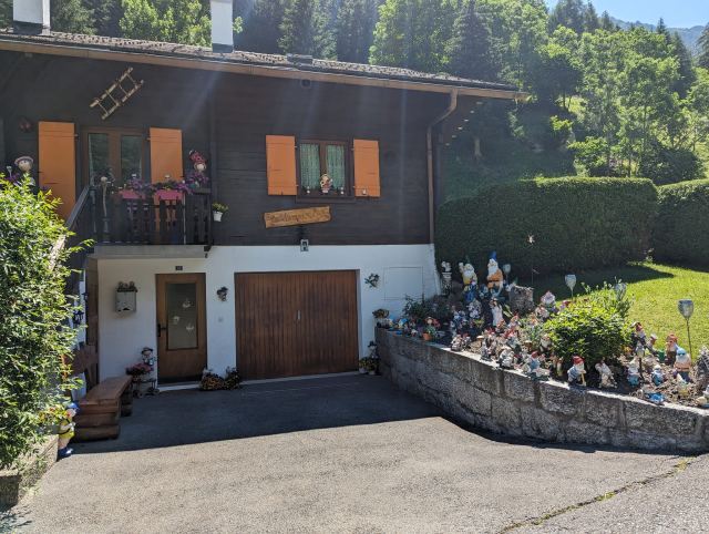
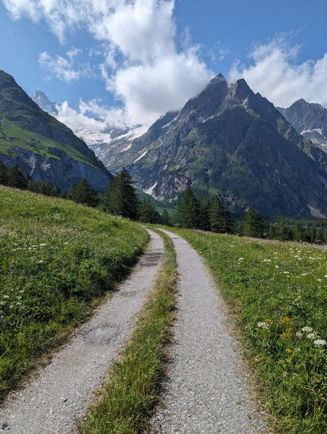
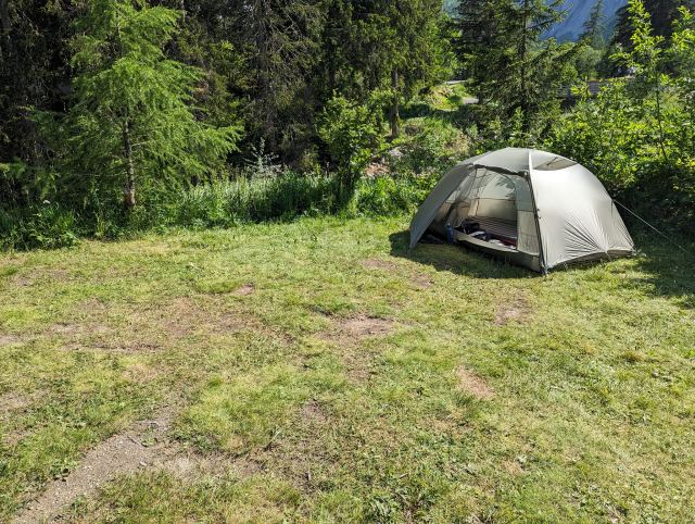
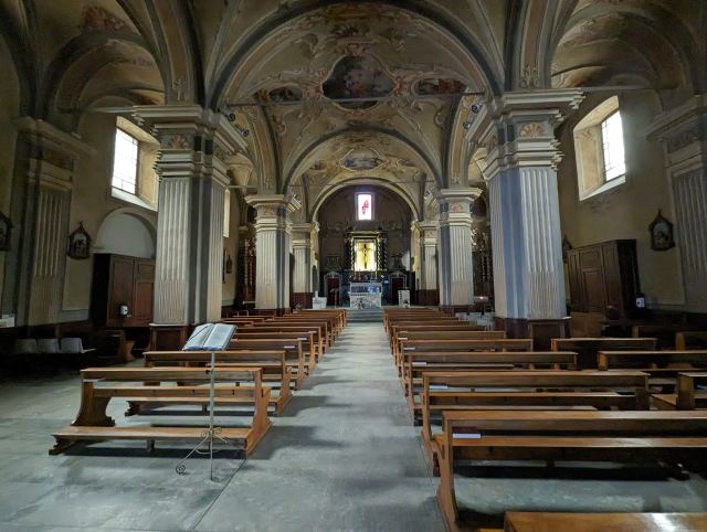
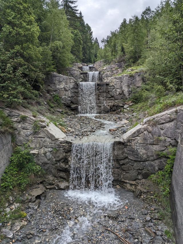
I'm including a small selection of photos I took during today's stage. The first picture is the official start/end point of the tour. Otherwise, there are magnificent mountains in all directions, Tyrolean houses with well-kept gardens, and lush vegetation. Simply put, it's very beautiful here. As you can see in the last picture, I found a great camping spot in Les Contamines 😅 It's good to spoil myself a bit when you've walked 19km without insoles in your shoes.
Total distance walked: 19km
You can follow my journey on my Garmin Explore page
https://eur-share.explore.garmin.com/torgeirmork